
- Hikes in Arizona
- Phoenix Area and Central Arizona
- Four Peaks (Browns Trail)
Four Peaks (Browns Trail)


Location
To get to the trailhead: from the Phoenix/Mesa area, take HWY-87 about 21 miles from Mesa untill you reach the signed Four Peaks Road (FR143) turnoff on the right. This road is graded dirt, OK for high clearance vehicles. Take the Four Peaks Road for 18 miles to the Mazatzal divide. Turn right onto FR648 (signed as the Lone Pine trailhead) and continue 1.3 miles to the signed Lone Pine trailhead. 0.1 miles before you reach the trailhead stay left at the fork.
Hike details
Season
- April
- May
- September
- October
- November
- January
- February
Solitude
Difficulty
Permits
Hike up to the top of Brown's Peak in the Four Peaks wilderness with great views of Saguaro, Apache, and Roosevelt lakes in Arizona.
This hike starts at the Lone Pine Saddle (signed as Lone Pine trailhead). The drive to it takes a while, so figure on 2.5 hours from the Phoenix area just to get to the trailhead. Because of this drive, not many people make it to this hike. There are a good number of ATV and Dirt Bike enthusiasts on FR 143, so be cautious.
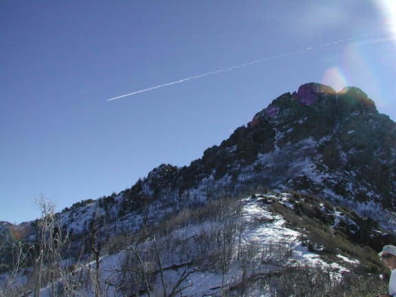
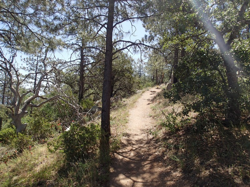
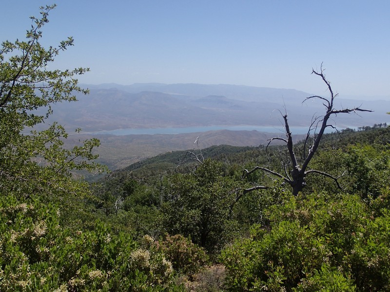
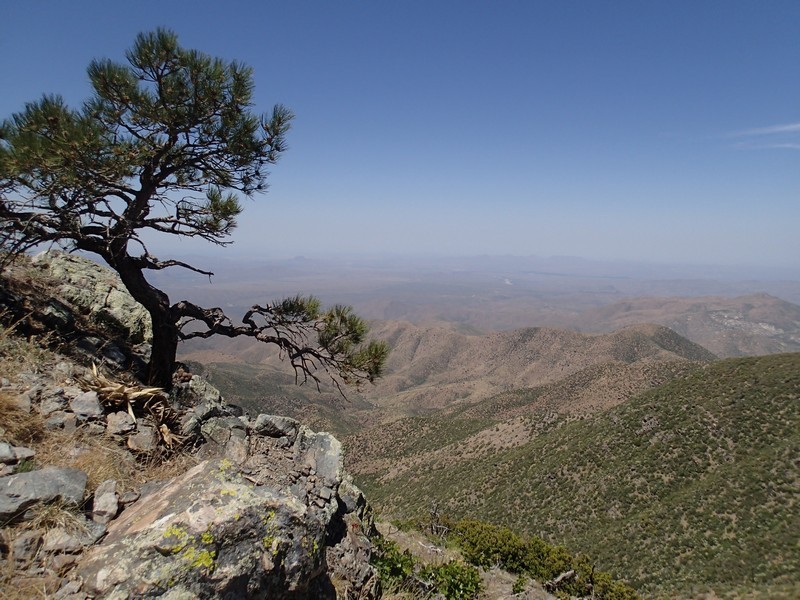
The Four Peaks wilderness is home to the largest population of black bears in AZ, so plan accordingly if you are going to camp in this area. From the parking area, take signed Browns Trail (#133) gently rising up through Chaparrel and some isolated pine trees. Unfortunately, many of this area's pine trees were cooked in the 'Lone' fire of 1994. There are plenty of oak trees leading the rebirth of the forest here. The views from the pass are impressive, with great views of Roosevelt Lake to the North and Saguaro Lake to the South. The hike heads up to the point where the Browns trail reaches a saddle and there is a trail sign for Browns trail pointing you back down (JCT 1R on the map). This is your turn around point. From here you also get a good close up view of Brown's peak, the tallest of the Four Peaks. Too bad you can't get to the top... or can you? Is there a secret summit route to the top?
Don't try this hike if there's a possibility of lightning. Four Peaks gets struck by lightning all the time.
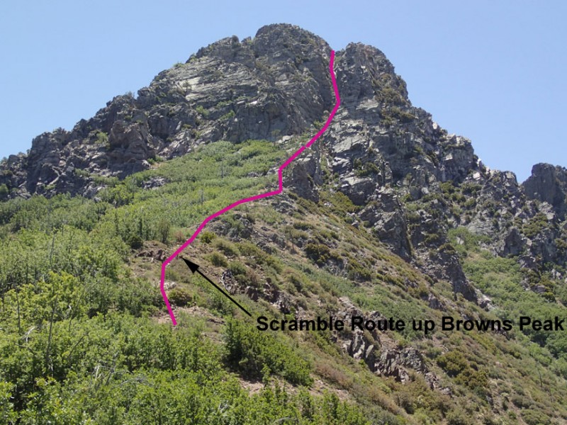
SECRET SUMMIT ROUTE FROM BROWNS PASS
This was the real reason we took this hike. Hiking buddy VAP had hiked to the top of Brown's peak in the 1980's. If you look at the picture attached, there is a scramble route that reaches the top. Stay right at the trail junction with the Browns trail (JCT 1R on map) and follow the surprisingly well worn trail up towards Browns Peak. The first time we did this hike, we went in the winter after a storm. The route was iced up and we turned back. We returned in the summer and managed to get to the top. The trail gets difficult to follow in places, so use those route finding skills and follow the cairns when available. DANGER WARNING: If you are not comfortable with scrambling, exposure, and some brief fourth class climbing, don't try this. Remember, going up is much easier than going down. Don't go up anything you don't feel comfortable down climbing. The rock is very loose here as well, so be careful not to knock any rocks onto your friends below.
