
- Hikes in Arizona
- Phoenix Area and Central Arizona
- Cline Creek Site (New River)
Cline Creek Site (New River)


Location
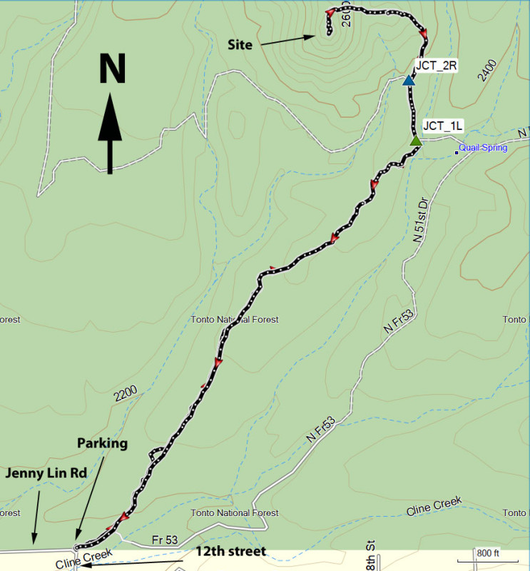
From the Phoenix area, take I-17 North to the Carefree Highway exit. Turn right onto Carefree Highway and drive about 6.2 miles to the intersection with 7th street. Turn left (North) here and follow this road for 3.2 miles. Turn right onto signed Circle Mountain Road (East) and drive for about 1 mile. Turn left onto signed 12th street (North) and drive the final mile to the junction with Jenny Lin Road. There is a gate here and parking for a few cars on the right. Trail access is within a neighborhood, so please minimize your impact by being respectful to private property and parking appropriately. Please obey all no parking signs in the area. Your positive actions will go a long way in making sure hikers have access to this area.
Hike details
Season
- January
- February
- March
- April
- May
- October
- November
- December
- July
- August
Solitude
Difficulty
Permits
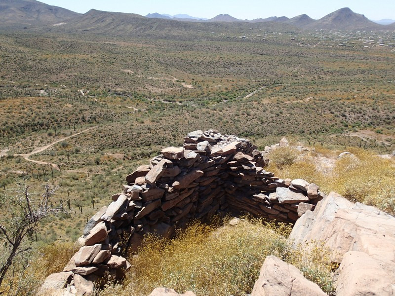
Hike to the Cline Creek Site (ruins) near Anthem, Arizona.
There are some surprisingly remote Hohokam ruins in the New River area that are well worth exploring. They're known as the Cline Creek Ruins.
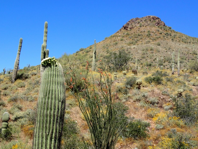
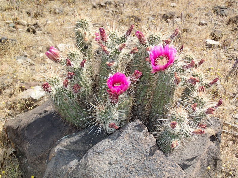
From the small parking area, go through the gate (close it behind you) and follow the jeep road north east. If you look north you'll see your destination on a prominent peak. The jeep road ribbons in places, but it always rejoins. keep heading north east and if you're unsure on which way to go, follow the path that looks more well worn from off road vehicles. You'll be walking through typical Sonoran desert here with lots of Saguaro, prickly pear, and barrel cactus.
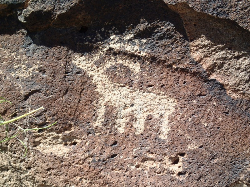
After about 1.3 miles of hiking, you'll rejoin FR53. Turn left here (JCT_1L) and walk another 0.1 miles where the road forks. Turn right at this unsigned junction (JCT_2R on the map) and continue to follow the wide path. You'll start a steep climb and soon the wide path will narrow into a single track trail. Continue to follow this steep section to the top of the peak. When you start nearing the peak, you'll see evidence of habitation with pottery shards and walls. After some scrambling you'll reach the top where you'll be able to check out some well preserved walls as well as an eagle eye view of the site. It's worth exploring this area a bit to see the different petroglyphs and walls. You'll also enjoy some great views of the surrounding desert and the New River area.
Remember not to take any artifacts and leave the site the way you found it. When ready, return the way you came.
