
- Hikes in Arizona
- Phoenix Area and Central Arizona
- Sears Kay Ruin
Sears Kay Ruin
Updated

Location
How to Get There
This hike is located near Carefree, AZ.
To get to the trailhead: from the Phoenix/Mesa area, take HWY-101 North to the Pima Road exit. Take Pima road North to Cave Creek Road. Turn East (Right) on Cave Creek Road. Continue 7.1 miles from the intersection on Cave Creek Road and turn right to the signed trailhead for the Sears-Kay ruins. This trailhead has a restroom, but no water.
To get to the trailhead: from the Phoenix/Mesa area, take HWY-101 North to the Pima Road exit. Take Pima road North to Cave Creek Road. Turn East (Right) on Cave Creek Road. Continue 7.1 miles from the intersection on Cave Creek Road and turn right to the signed trailhead for the Sears-Kay ruins. This trailhead has a restroom, but no water.
city
cave creek
state
az
Region
Phoenix Area and Central Arizona
Hike details
Distance
0.80 [Miles] Total
Hike Distance- Details
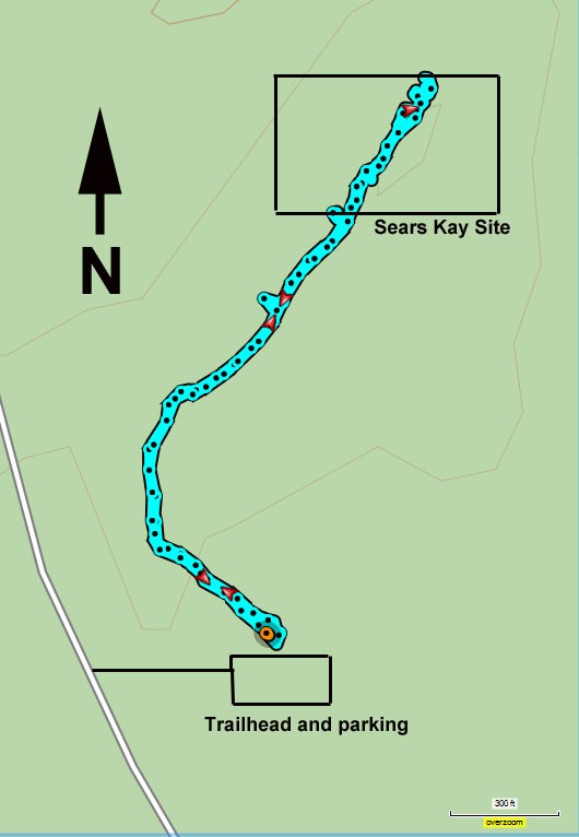
The out and back hike described is 0.8 miles round trip.
Time
0.50 [Hours]
Time-details
It took us a half an hour of hiking, plus some time to explore the site.
Elevation Change
250 Total gain/loss [Feet]
Elevation Details
about 400 ft of elevation change.
Hike Trail Type
Out and Back
Season
Best Season
- February
- March
- April
- May
- October
- November
- December
Worst Season
- July
- August
Date Hike completed
February 08, 2019
Solitude
Solitude
Medium
Solitude Details
Not bad. Expect to enjoy this area with about 10-20 people.
Difficulty
difficulty detail
The trail is clear and well signed. This is an easy hike.
Permits
Be Aware of
Fragile native american site. Please watch your step.
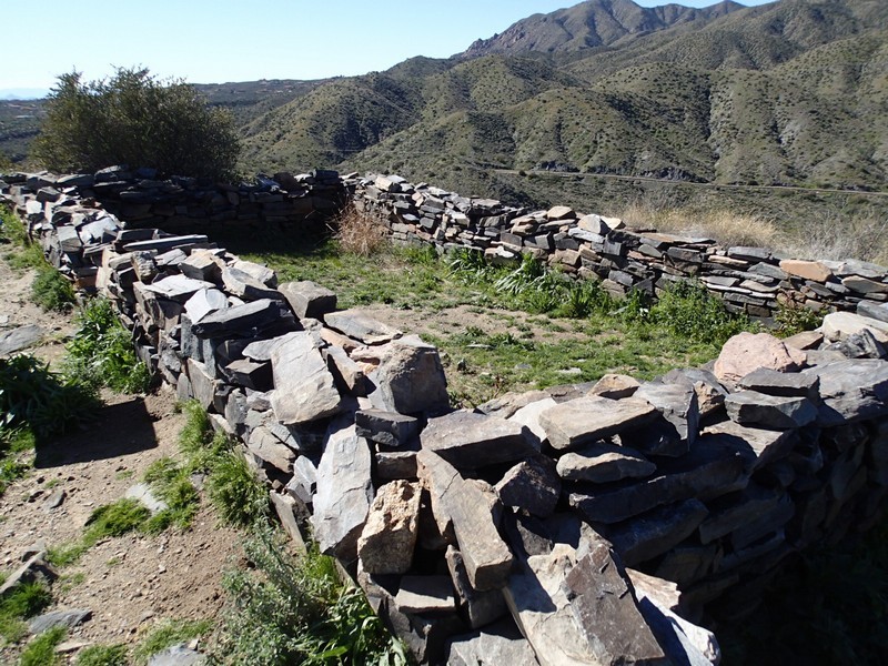
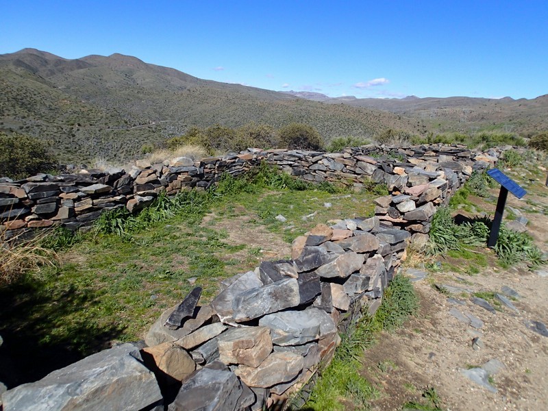
Hike to a well preserved Hohokam site near Phoenix, Arizona.
The Sears-Kay ruin (now typically called a site) is an impressive reminder of the efforts of the Hohokam tribe to live in this inhospitable area so long ago. It's a short hike with a rewarding trip back in time.
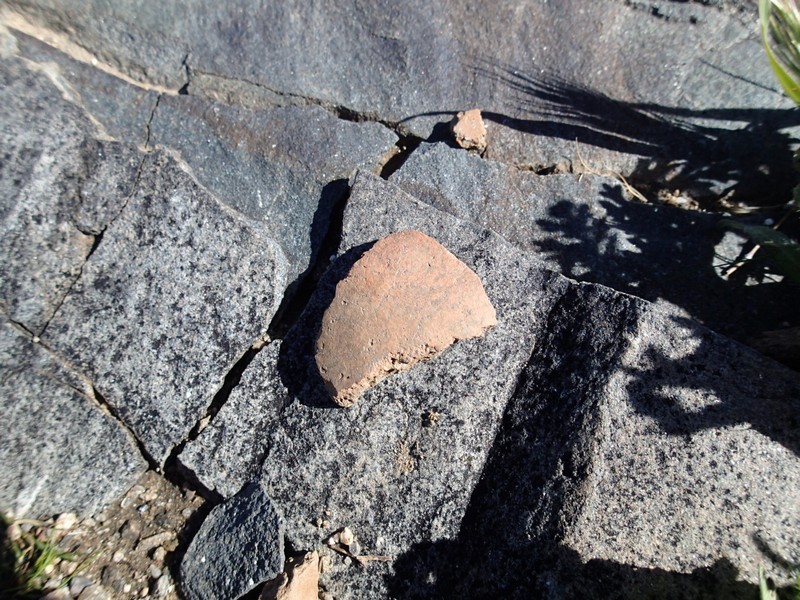
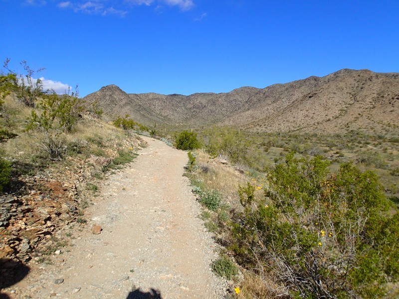
From the parking area, take the signed and well worn trail up the hill. The trail climbs, but not too steeply and after only 0.4 miles you'll start to see the walls of the site. Keep an eye out for pottery shards. As always with these areas, take nothing with you and do not damage any of the walls. There are interpretive signs here and a number of walls to explore in this fascinating area.
When ready, return the way you came.
