
- Hikes in Arizona
- Phoenix Area and Central Arizona
- San Tan Regional Park - Littleleaf trail loop
San Tan Regional Park - Littleleaf trail loop


Location
From the Phoenix area, take US-60 East to the Ellsworth Road Exit. Go South on Ellsworth Road, which eventually turns into the Hunt Highway going East. Take the Hunt Highway, turning right onto Thompson Road. From Thompson Road, turn right on Phillips Road and park in the designated parking area. The turn-offs to Thompson Road and Phillips Road are both signed for the San Tan Mountain Regional Park.
Hike details
Season
- January
- February
- March
- November
- December
- June
- July
Solitude
Difficulty
Permits
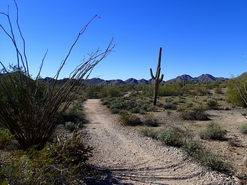
Loop hike on the Littleleaf trail in San Tan Regional park in Arizona.
In the winter holiday months, it's typical to get first time visitors to the deserts of Phoenix. If you're looking for a good, easy hike to take them to, I'd recommend the Littleleaf trail loop in the San Tan regional park.
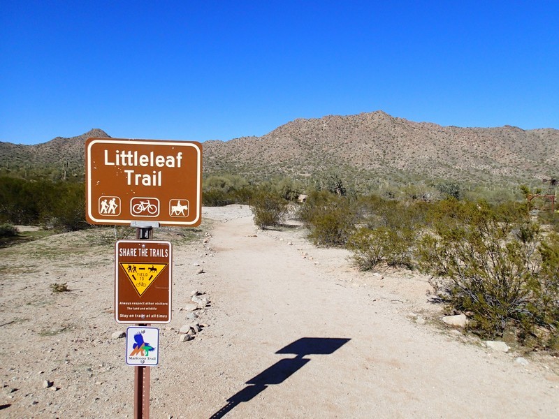
This trail is a nice introduction to hiking in the deserts of Arizona. After paying the $6 fee, start at the well signed trailhead. Start along the signed and easy to follow littleleaf trail. You'll see all the sonoran desert cacti here, including Saguaro, barrel, and cholla. The trail is easy to follow as you'll hike 0.7 miles to the junction with the Goldmine trail (Jct 1L on the map). Turn left at this well signed trail junction onto the Goldmine trail. From here, the trail widens, but it's still easy to follow. You'll follow this trail 0.6 miles as it returns to the start of the hike and parking area (don't forget to make a left turn at signed junction JCT2L on the map).
Link to San Tan Regional Park website: http://www.maricopa.gov/parks/santan/
