
- Hikes in Arizona
- Northern Arizona
- O'Leary Peak
O'Leary Peak


Location
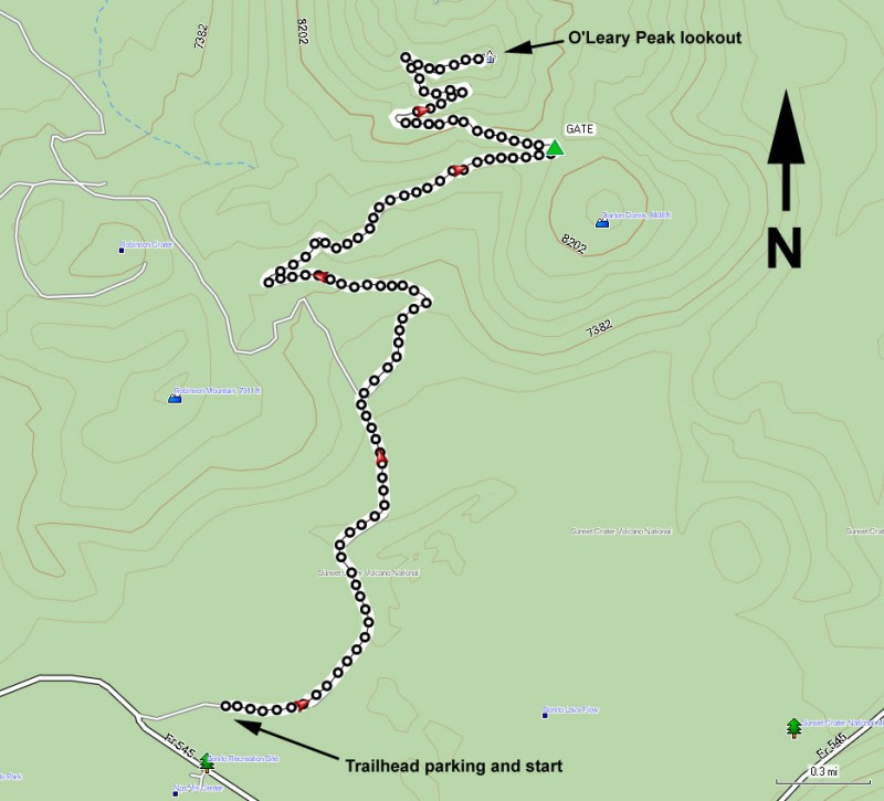
From the Flagstaff area, take HWY 89 towards Page, AZ. About 10 miles out of Flagstaff, you'll see a signed turn for Wupatki and Sunset crater on your right. Turn right here (FR545) and drive 1.8 miles until you see the sign for the O'Leary peak group camping site. Turn left here and drive 0.3 miles to the signed trailhead and parking area.
Hike details
Season
- June
- July
- August
- September
Solitude
Difficulty
Permits
Hike up O'Leary peak near Flagstaff, Arizona.
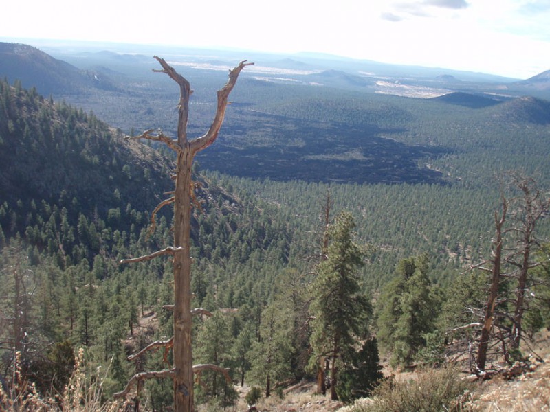
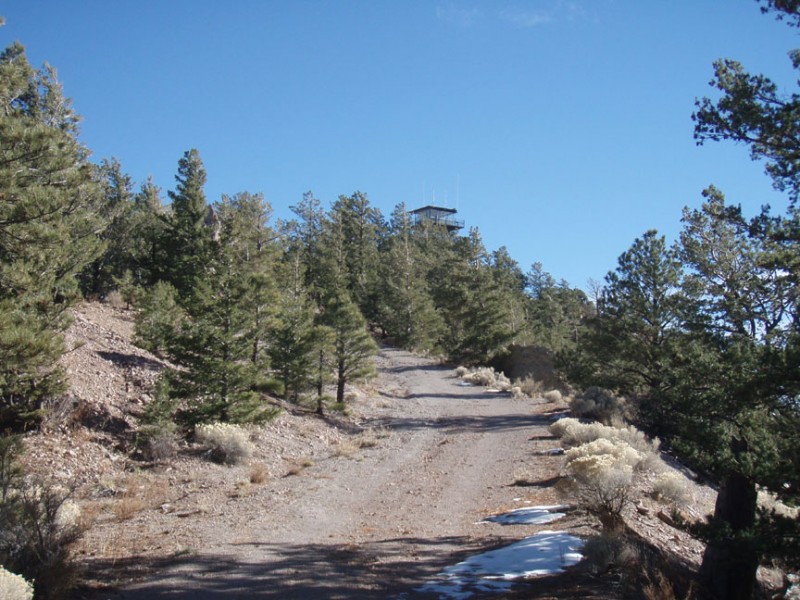
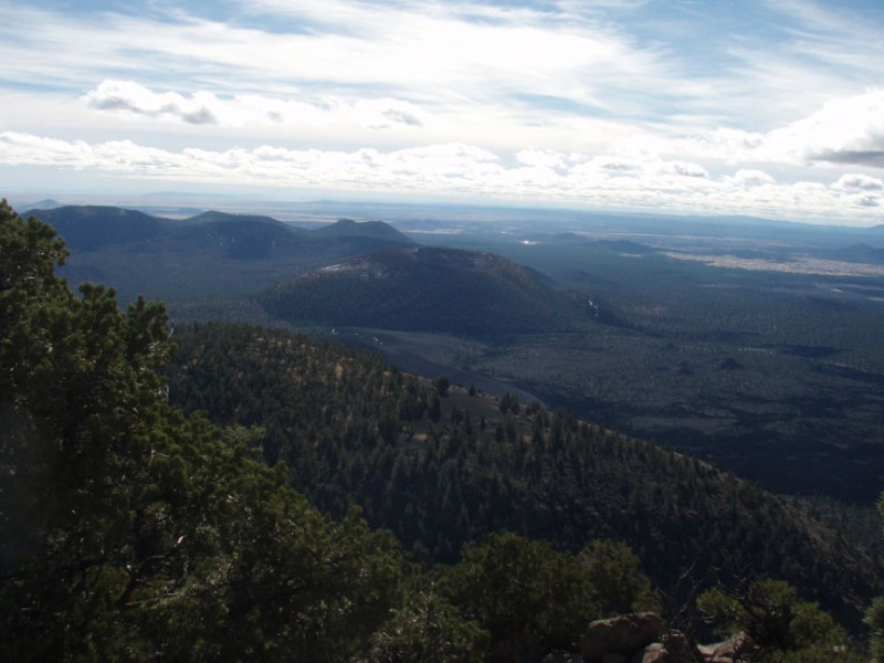
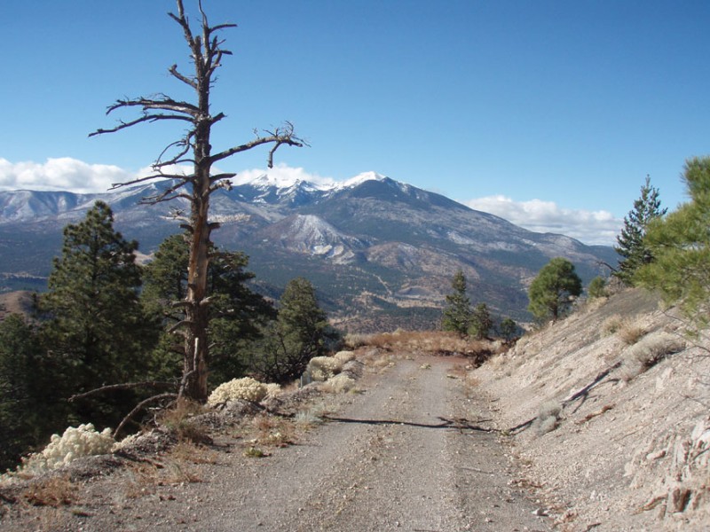
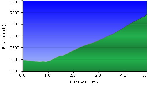
From the signed trailhead, start walking up the closed road. This road services the lookout tower at the top of the peak, but makes for an easy, gradual walking trail to the top. The nice thing about this hike are all of the unobstructed views. There is very little route finding as well, as the road is easy to follow for its entire length. To your right, keep an eye on the evidence of the extinct volcanoes that make up the Sunset crater area. To the South, you'll get an increasingly impressive view of the San Francisco peaks overlooking Flagstaff. Once you reach the top, you'll be treated to the Northern views of the painted desert, the Grand Canyon, and Navajo mountain. The lookout tower is pretty impressive too, but they don't allow visitors up it. Be sure to sign the register in the ammo can at the top!
