
- Hikes in Arizona
- Phoenix Area and Central Arizona
- San Tan Regional Park - Malpais Trail loop
San Tan Regional Park - Malpais Trail loop

Location
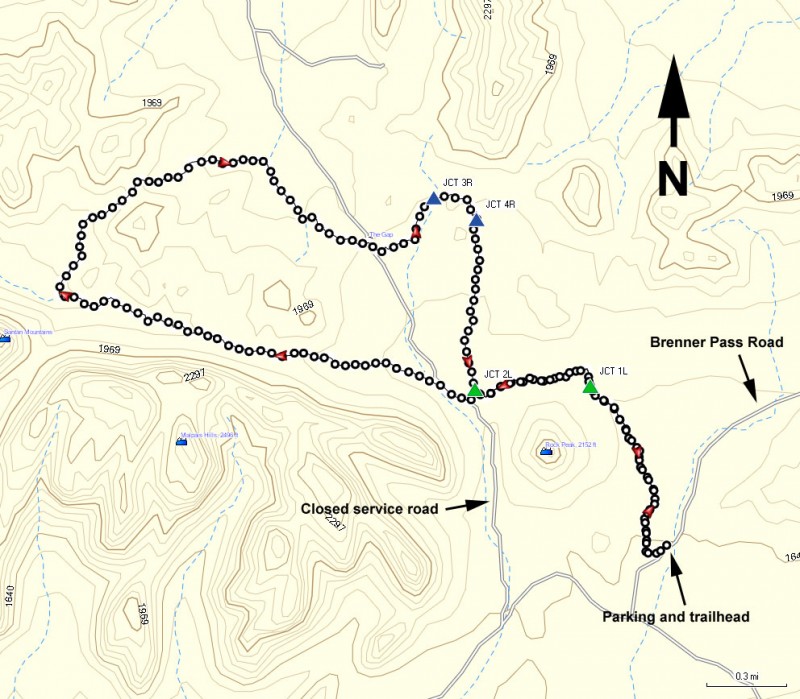
From the Phoenix area, take US-60 East to the Ellsworth Road Exit. Go South on Ellsworth Road, which eventually turns into the Hunt Highway going East. Take the Hunt Highway, turning right onto Thompson Road. From the intersection of Thompson Road and Phillips Road, continue to go straight, which becomes Brenner Pass Road. Take this road 3.8 miles to the signed Rock Peak Wash trailhead on your right.
Hike details
Season
- January
- February
- March
- April
- May
- September
- October
- November
- December
Solitude
Difficulty
Permits
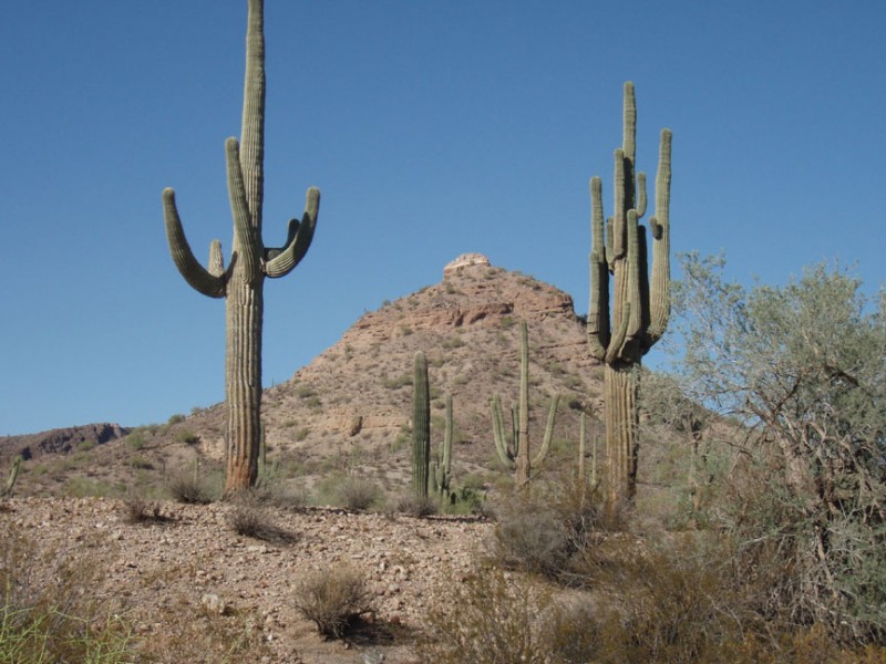
Hike the Malpais trail loop in San Tan Regional park near Phoenix, Arizona.
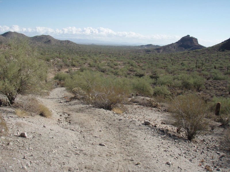
From the parking area (and after using the self pay station to pay the $6 to park), head along the signed and easy to follow Rock Peak Wash trail. Although it starts on normal desert, it soon has the consistency of a sandy wash. Not the most enjoyable way to start a hike, but luckily this does not last long. Enjoy the nice view of Rock peak on your left as you head 0.8 miles to the first trail junction (JCT 1L on map). At this signed trail junction, turn left onto the San Tan trail. Out of the sandy wash now, you'll walk 0.6 miles nearly due West to the next signed trail junction (JCT 2L on map). Here is where you start the Malpais trail. Stay left at this trail junction.
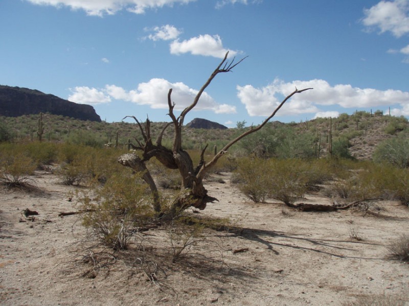
This scenic trail alternates between normal desert hiking and walking through a sandy wash, but luckily the time spent hiking in the sand is a much lower percentage than the time spent on normal dirt. The trail is easy to follow here and you'll enjoy great views of the Malpais Hills on your left. There is a true sense of remoteness here, even though you know there is a large bustling Phoenix metropolis to the North. After 4.1 miles from the last trail junction, you'll reach the signed junction with the San Tan trail (Jct 3R on map). Turn right here and walk 0.3 miles to another signed trail junction (Jct 4R on map) and turn right again to stay on the San Tan trail. After 0.7 miles you'll return to Jct 2L to complete the loop. Make a left turn here . You'll reach Jct 1L after 0.6 miles of hiking. Turning right here will put you on the final, sandy 0.8 miles to the car and the completion of the hike.
Link to San Tan Regional Park website: http://www.maricopa.gov/parks/santan/
