
- Hikes outside of Arizona
- Outside AZ
- United States - National Parks
- Sand Point (Olympic National Park)
Sand Point (Olympic National Park)

Location
The trail starts from the Ozette Ranger Station in the western section of Olympic National park.
Hike details
Season
- May
- June
- July
- August
- September
- January
- February
- December
Solitude
Difficulty
Permits
Hike Sand Point in Olympic National park
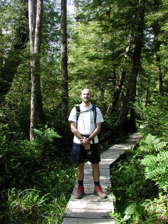
From the parking area and well marked trailhead, we headed first southwest towards sand point. The trail is enveloped quickly in a lush green forest. The mostly flat path is along wood planks to help preserve the trail from marsh conditions in times other than summer. We actually enjoyed this unexpected feature of the hike.
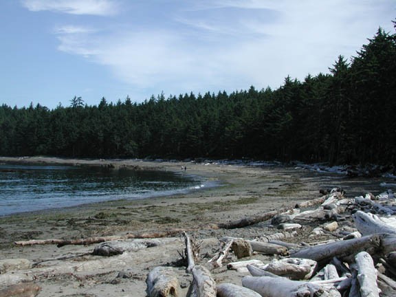
After three miles of hiking you reach Sand point, which is obvious as Sand point is located along the Pacific Ocean and sheltered amidst trees. Turn left here (North) and walk along the sand beach for the next 3 miles towards Cape Alava. This section of the hike is unique for the dense forest on your right shoulder and the rocks, tidal pools, and surf of the Pacific Ocean on your left. Keep your eyes open for wildlife, we noticed Bald Eagles, deer, seals, and plenty of crabs in this area. The walking is not difficult on the hard packed sand, but it is worthwhile to spend some time exploring the beach.
The return trail at Cape Alava is easy to spot and turns. The trail heads South East from Cape Alava back into the forest and along wood planks again until returning to the start. You will reach the end of this hike after another 3 miles of walking, for a total of 9.0 miles.
