
- Hikes in Arizona
- Superstition and Mazatzal Wilderness
- Lost Goldmine Trail
Lost Goldmine Trail

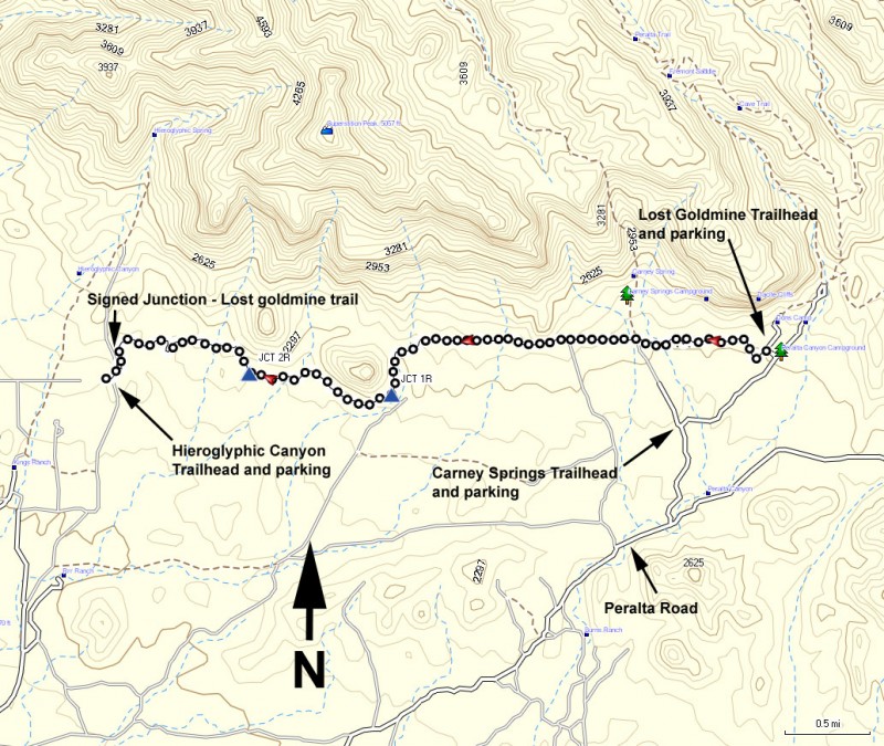
Location
East Trailhead: From the Phoenix area, take US-60 East, leaving the city limits. After leaving Apache Junction, continue about 8.5 miles, turning left onto Peralta Road (FR 77). After starting out as a paved road, this quickly turns into a maintained dirt road. The signed trailhead for the Lost Goldmine trail is on your left after about 7 miles of driving on this road. There is ample parking and the trailhead is well signed.
Hike details
Season
- January
- February
- March
- April
- October
- November
- December
Solitude
Difficulty
Permits
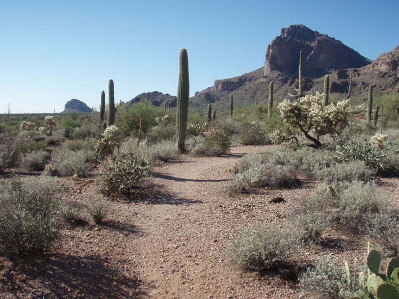
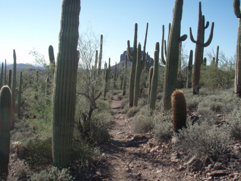
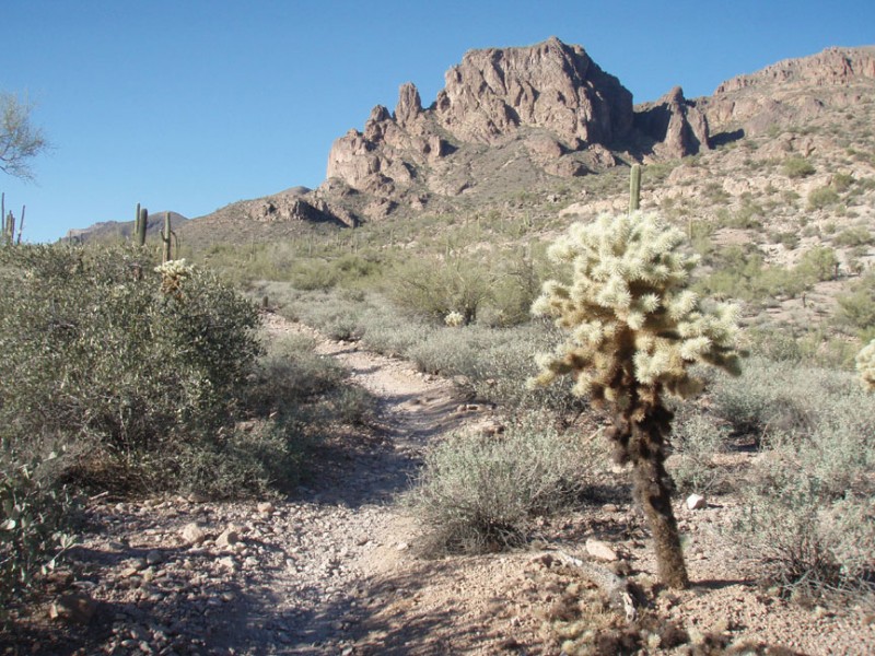
Hike the Lost Goldmine trail in the Superstition Wilderness, Arizona.
Before you start this hike, make sure you've dropped a car at the Hieroglyphic Trailhead (West trailhead), unless you want to make this a long out and back hike.
From the well signed trailhead, you'll head west along an easy to follow trail. There is some routefinding here, but nothing too difficult. There are two signed trail junctions (JCT 1R and JCT 2R on the map). Stay right (follow the signs) at both traill junctions. This enjoyable hike follows along the base of the Superstition mountain range. The scenery is sonoran desert, with all of our favorite desert cacti, including plenty of Saguaro. There is not much elevation change so the hike goes pretty quickly. This is a nice introduction hike to the Superstition wilderness.
