
- Hikes in Arizona
- Mogollon Rim
- Christopher Creek - See Canyon
Christopher Creek - See Canyon


Location
From the Phoenix area, take HWY 87 North towards Payson. Once in Payson, take HWY 260 east toward the town of Christopher Creek, AZ (about 22 miles from Payson). The town is a little off the HWY-260, so follow the signs for the turn off. Once in the town of Christopher Creek, turn left on the signed FR 284. Take this dirt road (high clearance vehicle needed) about 1.5 miles to the well signed parking area. There is a pit toilet at the trailhead.
Hike details
Season
- April
- May
- June
- July
- August
- September
- January
- February
- December
Solitude
Difficulty
Permits
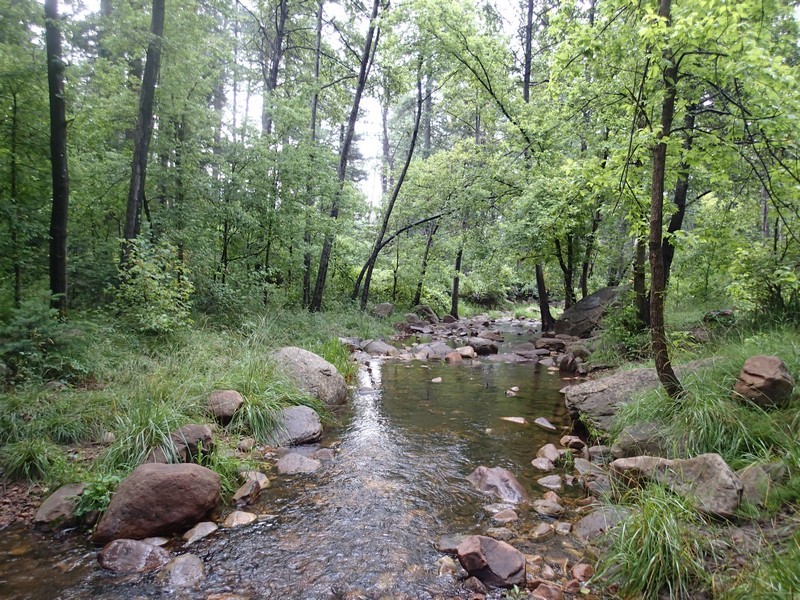
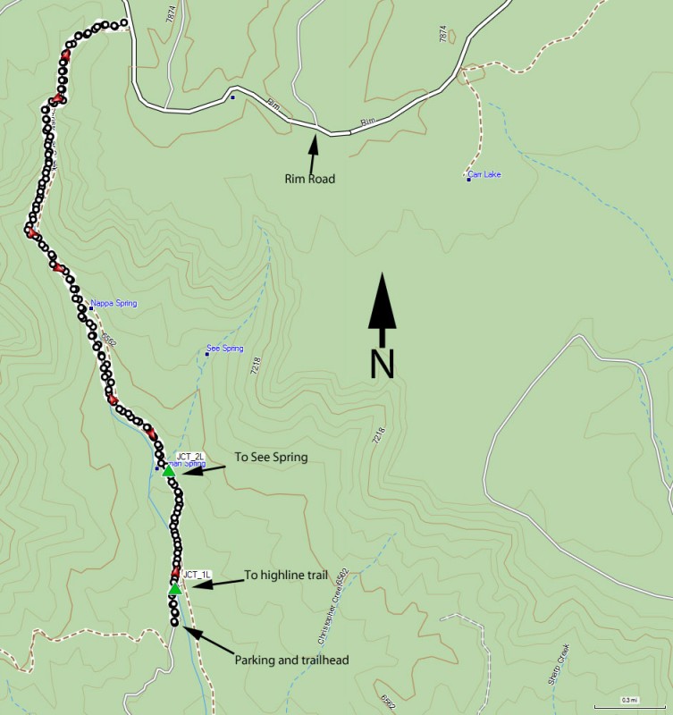
Hike along Christopher creek using the See Canyon trail on the Mogollon rim in Arizona.
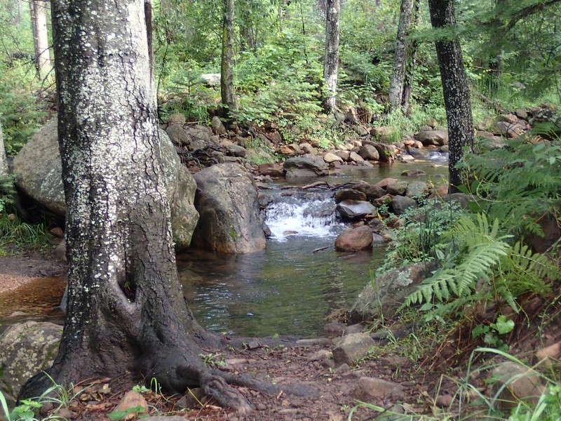
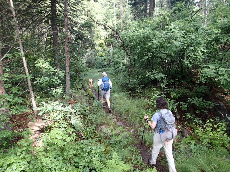
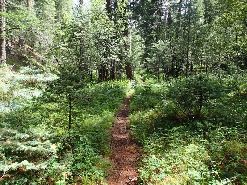
This is a great hike to escape the Phoenix heat. The trailhead is well signed from the north side of the parking area. To get to See Canyon trail you will need to rock hop across the creek here to the East side of the creek. Right away, head left at the signed junction (JCT_1L) to stay on the See Canyon trail. The trail winds its way up See Canyon and stays close enough to Christopher Creek to entertain you with it's creek song. About 3/4 of a mile along the trail is a signed junction to See Canyon Spring trail branching to the right (JCT_2L). Stay left to stay on the See Canyon trail. This trail provides a good amount of shade due to the abundance of pine and oak trees. When we did this hike in the middle of April, it was after a very wet winter, so the creek was running very well. Several spontaneous springs were noted along the trail that emptied into the main creek. There was a good bit of deadfall blocking the trail in places, sometimes making it difficult to see where the trail is. When in doubt, check about 6 ft high on the trees for reflective markers that show the trail. We did this hike again in July and really enjoyed munching on the wild raspberries and strawberries along the trial.
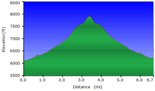
As the trail gets closer to the Mogollon rim, the trail can become quite steep. Unfortunately, the forest hides most of the views during the hike up. Eventually, the hike flattens out again as it heads to the rim road (FR300) where it ends.
When we did this hike we had to deal with some mosquitoes as well as some overgrown sections of trail, so you should plan accordingly. Enjoy this spectacular hike!
