
- Hikes in Arizona
- Sedona
- Cockscomb Trail
Cockscomb Trail


Location
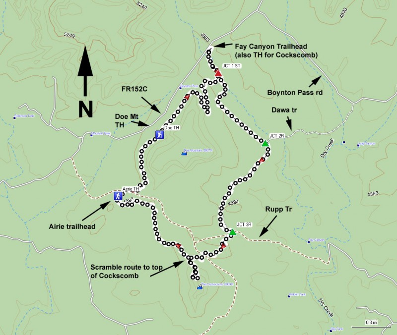
From the Sedona area, take HWY 89 about 3 miles after the junction of HWY 179 and HWY 89 in Sedona. Turn right on Dry Creek Road and go 2 miles to the signed junction of Dry Creek Road and 152D (Boynton Pass Rd). Turn left and continue 2.5 miles on Boynton Pass Rd. At the next intersection, turn left onto FR152C (Boynton Pass Rd). Drive 0.4 miles and park at the signed Fay Canyon trail parking on the left.
Hike details
Season
- April
- May
- October
- November
Solitude
Difficulty
Permits
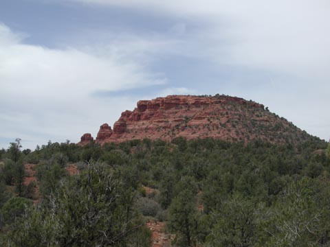
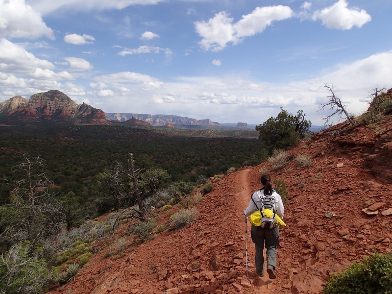
Hike along the Cockscomb trail near Sedona, Arizona.
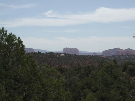
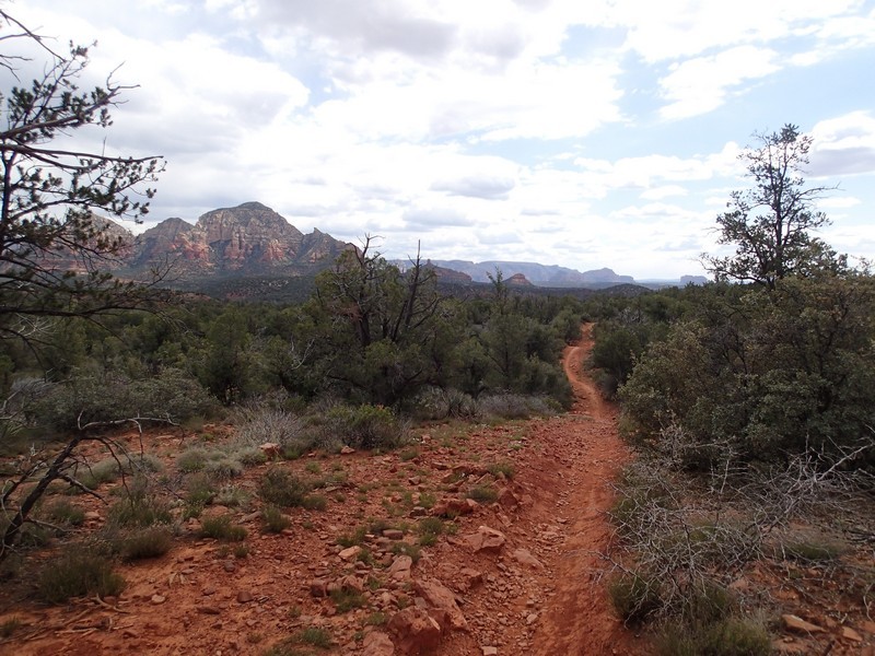
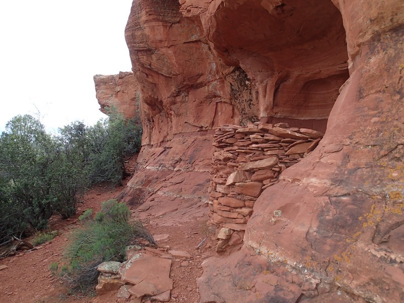
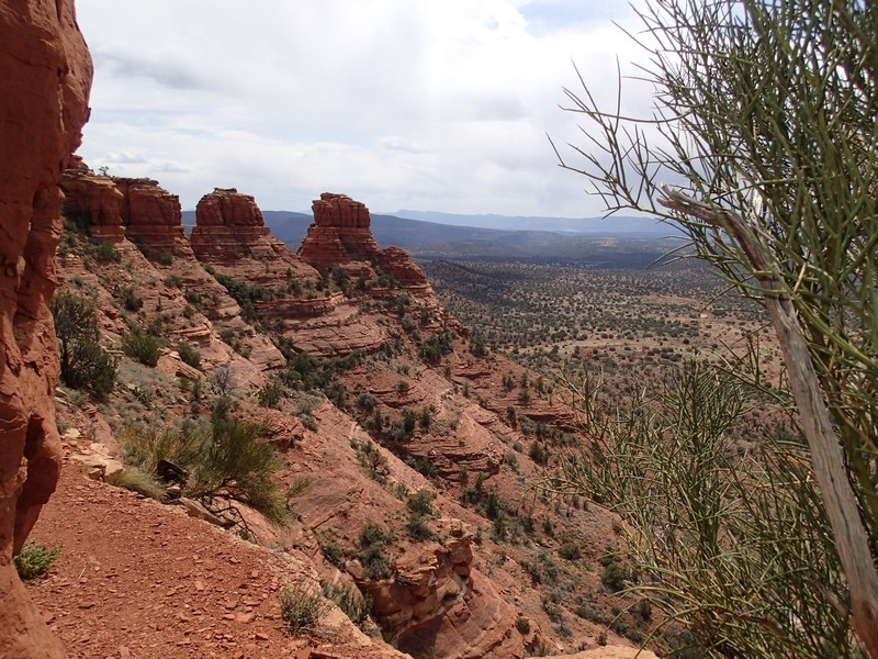
Although there are several trails leading to the Cockscomb formation, this route details a fun loop hike around Doe Mountain with a steep climb to the top of the Cockscomb. From the signed Fay Canyon trailhead, take the signed, well worn, and easy to follow trail heading South East. After a short 0.2 miles, you'll reach the first signed junction with the Aerie trail (JCT 1 ST on the map). Stay straight here to stay on the Cockscomb trail. This loop has the added advantage of circling around Doe mountain (to your right during the hike). You'll descend gradually for the next 0.9 miles to the signed junction with the Dawa trail (Jct 2R on the map). Stay right here, and then right again shortly thereafter to stay on the Cockscomb trail. Now heading generally South West, you'll enjoy views of the Cockscomb. An additional 0.9 miles from the previous trail junction gets you to the signed trail junction with the Rupp trail (JCT 3R on the map). Right again here and start gaining some elevation as the Cockscomb gets closer on your left. Keep an eye out for a faint cairned path on your left. This spur trail leads up a generally well worn trail to nearly the top of the Cockscomb formation. Follow the cairns and you can avoid scrambling. From the top, you'll get great views of Sedona, Doe mountain, and an interesting new housing development. If you explore up there a bit, you may find a rock wall that looks like it could have been put up by native Americans... or hikers... no idea which!
When you've finished enjoying the views, backtrack to the Cockscomb trail and head left (North West) on it. It's another 0.9 miles to the signed trailhead and parking for the Aerie trail. To complete the loop back to your car, head North East on the Aerie trail towards Doe mountain. Cross the paved road and continue along this well worn trail that eventually roughly parallels FR 152C. From the Aerie trail to the Doe mountain trail junction is 0.7 miles. From there, it's a 1.3 mile final jaunt to the Fay Canyon trailhead and your car.
