
- Hikes in Arizona
- Northern Arizona
- Oldham Trail
Oldham Trail

Location
From the Flagstaff area, head to downtown Flagstaff. Turn North (towards the peaks) on San Francisco street. When you reach Forest Ave, turn right. Then when you see Gemini Road, turn left and park at the end of the road. There will be a statue of a Buffalo, but no restrooms or water.
Hike details
Season
- May
- June
- July
- August
- September
Solitude
Difficulty
Permits
Hike the Oldham trail near Flagstaff, Arizona
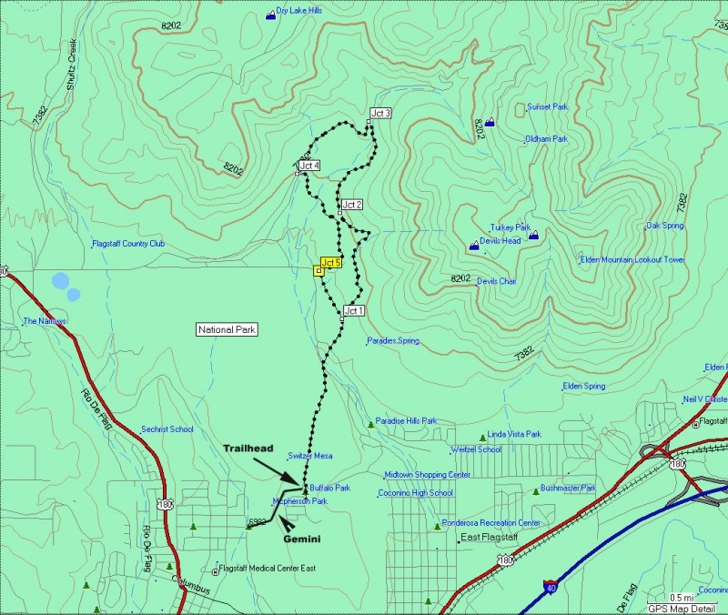
The toughest part about this easy stroll through the forests North of Flagstaff is the navigation. There are many trails in this area, not all of them signed. If you follow the map provided and read my directions, you'll get to enjoy this loop hike without a wrong turn. If you get confused on which way to go, follow the signs marking the Arizona trail, until I specifically tell you to stop.
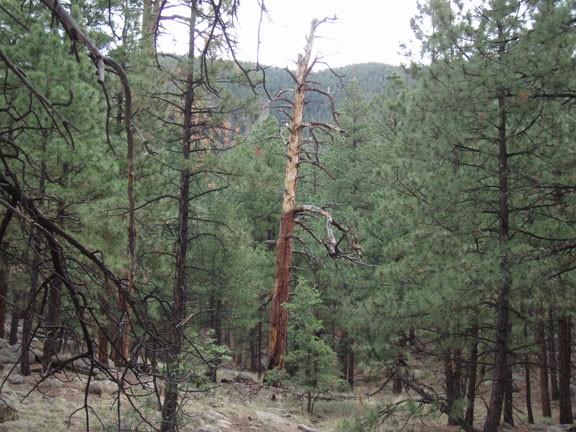
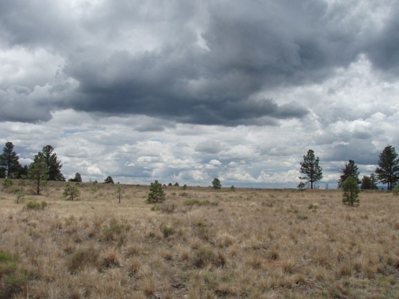
From the Buffalo (read the plaque underneath for a history of this area) head straight towards the mountains on the wide crushed cinder trail. This wide open meadow is administered as a city park and is quite popular with the locals looking for some quick exercise close to town. After crossing the park, you'll reach the start of the National Forest, which is well signed and has a trail register. After signing the register, continue along this easy to follow trail into the more dense forest. You'll reach a defined trail junction when you hit the Pipeline trail (Jct 1 on the map). This wide road is a maintenance area for the gas pipeline feeding Flagstaff. We will be returning on this trail, but for now, stay on the narrow trail straight ahead. There are some nice old growth trees and the ground starts to become decorated with large boulders, making this area very interesting to hike through. When the boulder field dominates the view on your right, you will soon reach another trail junction (Jct 2 on the map).
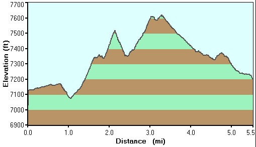
This junction is signed as the Lower Oldham trail, with arrows pointing towards Rocky Ridge trail 0.5 miles. You'll leave the Arizona trail markers and follow the Rocky Ridge arrow (right turn) to reach Mount Elden Lookout Road after about 2.0 miles of total hiking (Jct 3 on the map). Turn left on Mount Elden road and walk for about 0.8 miles. On your left is a trail at a wide car pullout with a small sign marking the Arizona trail (Jct 4 on the map, shown in the picture below). Keep going straight on this trail, following the Arizona trail signs and not taking any of the other spur trails that intersect this. When the Arizona trail marker points you to a left trail (about 0.4 miles from Mount Elden Road), continue going straight (otherwise, you will reach Jct 2 on the map). Continue straight on this trail until you reach the pipeline trail (Jct 5 on the map). Turn left here and head back to Jct 1, where you will turn right and after about a mile of hiking, find your car again.
Watch out for mountain bikers, as this relatively flat trail is very popular with them. Enjoy!
