- Hikes in Arizona
- Phoenix Area and Central Arizona
- Queen Creek Canyon and Tunnel
Queen Creek Canyon and Tunnel
Location
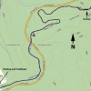
To get to the Trailhead: From the Phoenix area, take US-60 East toward the town of Superior. Drive through the town of Superior and just as you leave the town, take the signed exit for AZ-177 (Ray Road). Turn left here and drive 0.1 miles to the unsigned parking area on the right at the intersection of Magma Ave and Heiner Drive.
Hike details
Season
- January
- February
- March
- April
- September
- October
- November
- December
- July
- August
Solitude
Difficulty
Permits
Hike up Queen Creek Canyon near Superior, Arizona
If you've ever driven from Superior, AZ to Globe, you've probably noticed that closed road down in Queen Creek Canyon. That closed road was the path to Globe up until about 1952 and has now been reopened as an easy walking trail.
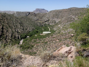
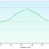
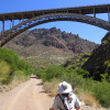
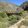
From the parking area (be sure not to block the gate, as this road is still used to access the water tank) head up the easily spotted road blocked by a locked gate. This closed road is fast and easy walking with a gentle grade as it climbs up Queen Creek Canyon. To the left across the canyon, you'll see some evidence of mining, with now closed holes and wood sluice systems. Passing over and under bridges you'll appreciate the beauty of this area, with very large Sycamore trees living at the base of the canyon. This would be a particularly nice hike during Spring runoff season or after a rain. At about the half way point, you'll pass a large working water tank where the road starts to get a bit steeper as it heads towards the tunnel. As you walk this section, imagine having to drive this road to Globe.
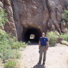
After 2.2 miles, you'll reach the old tunnel. It's worth exploring as it pokes through the wall of the mountain. The trail soon ends at the US-60 road so this tunnel acts as a good turn around point. If you're quiet, you may hear the bats that live here chattering.
When ready, return the way you came.


