

- Hikes in Arizona
- Mogollon Rim
- Tall Timbers Regional Park hiking
Tall Timbers Regional Park hiking

Location
To get to the trailhead: from the Phoenix area, take HWY-87 North toward Payson. Once in Payson, take HWY-260 East towards Heber-Overgaard. Once you reach the town of Overgaard, turn right into the signed Tall Timbers Regional Park. There are restrooms and water at this facility.
Hike details
Season
- June
- July
- August
- January
- February
- December
Solitude
Difficulty
Permits
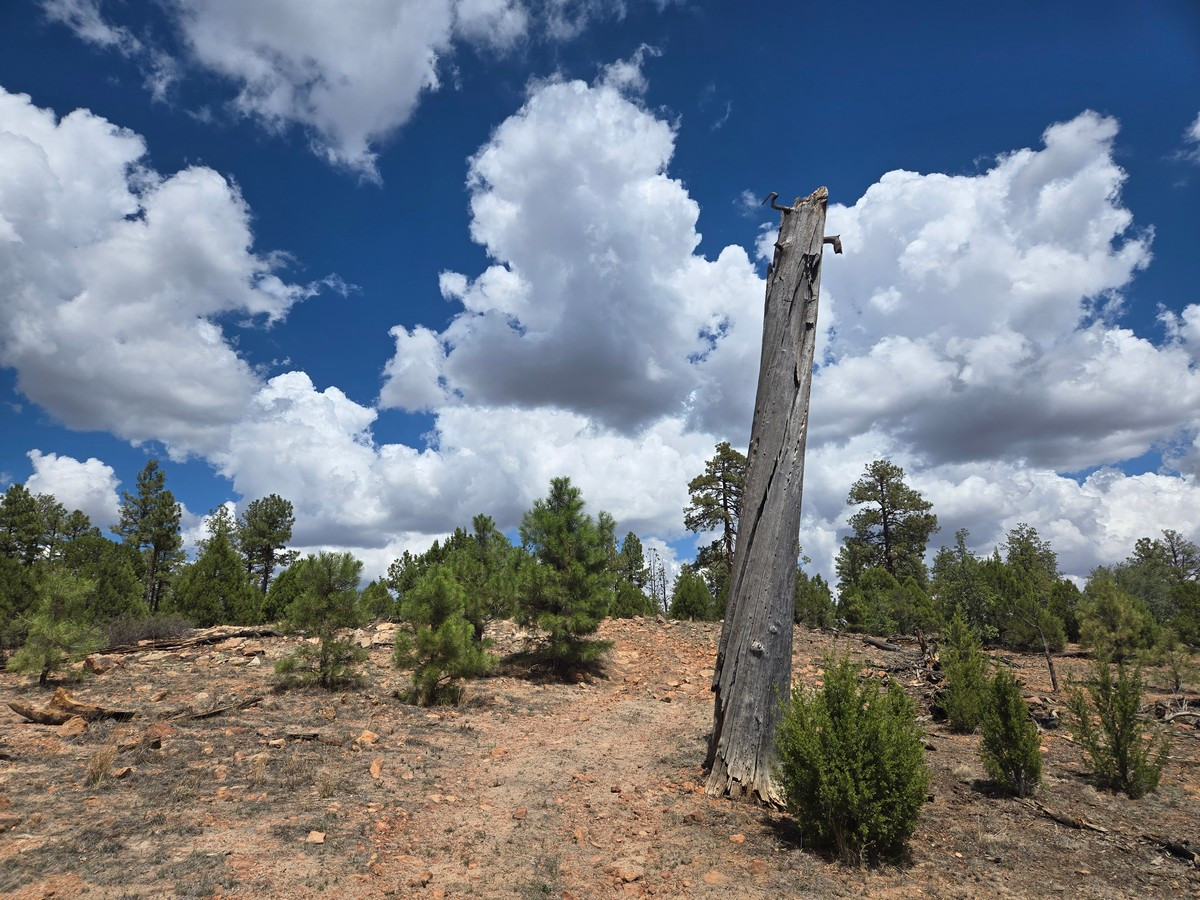
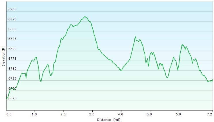
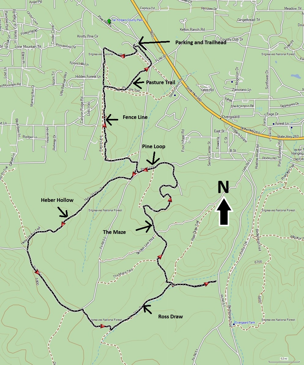
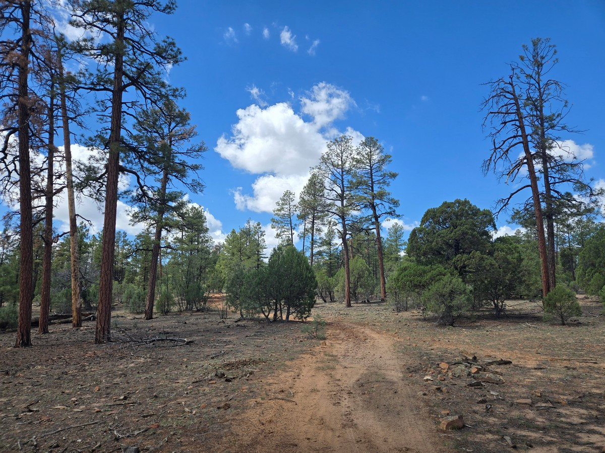
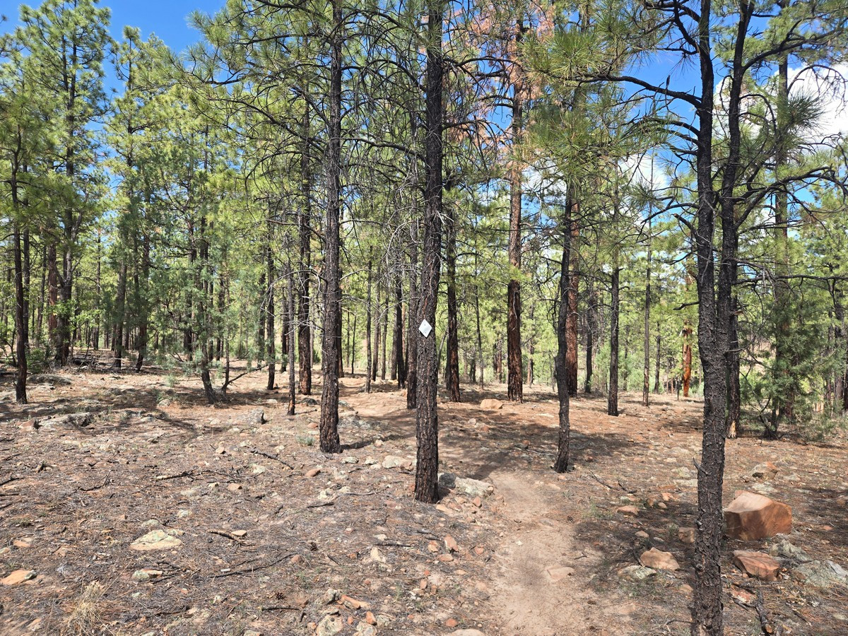
Hiking the Tall Timbers Regional Park area trails near Heber-Overgaard The Tall Timbers Regional Park provides a good entrance to some hiking in the Heber-Overgaard area. The primary draw of this area is the pleasant summer temperatures due to the high elevation. This hike comprises a mix of hiking trails and a bit of walking on dirt roads to make a quasi-loop hike.
From the parking area, walk across the road and pick up the signed trail start for the Pasture trail. This section is single track, easy to follow path through a pine forest. After about 0.5 miles of hiking, you'll stay straight and continue on the signed Tall Timbers Trail. After 1.3 miles of total hiking, this trail hits a dirt road (FR 50). Turn right and walk a few hundred feet to the signed Heber Hollow trail on your right. On this section of trail we saw a deer and a horse. Not sure if the horse was wild or just out for a morning walk without its owner. The Heber Hollow trail ends at FR 50 again. Turn left here and walk about 0.6 miles to the signed Ross Draw trail on your right. This section of trail travels through a part of the forest that was burned during the Rodeo-Chediski fire and it is interesting to see the forest recovery in this section. There is less shade here as you drop down into a draw. Continue walking 0.7 miles until you reach the unsigned trail junction. This is easy to miss, as the wide draw trail continues north east and the small single track you want heads left up a hill. Turn left here and you'll reach the signed junction with the Maze trail. Continue on the Maze trail until you reach the signed junction with the Pine Loop trail. Turn right here and walk along this now shaded forest section. After 0.8 miles on this trail, you'll reach FR 50 again where you can take the road directly back to the car, or return to the Tall Timbers section of trail and head back to the car that way.
