- Hikes in Arizona
- Mogollon Rim
- Canyon Point Rim View Trail
Canyon Point Rim View Trail
Location
To get to the trailhead: from the Phoenix area, take HWY-87 North toward Payson. Once in Payson, take HWY-260 East towards Heber. After 36 miles of driving, make a right at the signed turnoff to Canyon Point Campground. Take the B camping loop and keep an eye on your right for the signed trailhead. My guess is there are other ways to this trailhead as well.
Hike details
Season
- March
- April
- May
- June
- July
- August
- September
- October
- January
- December
Solitude
Difficulty
30 yr old Recommendation: This is a good hike for the kids. Bring them along on this easy hike.
Hike the Canyon point rim view trail on the Mogollon rim of Arizona.
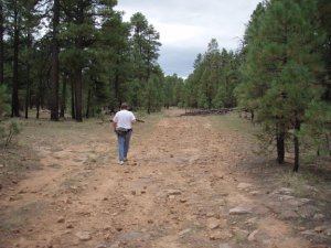
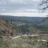
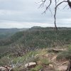
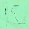
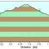
This well marked walk to a view off of the Mogollon rim is a very nice hike for kids or beginning hikers. The hike starts within the spacious Canyon Point campground. The trail goes through the pine forest, through a fence, and into a more dense pine forest. The trail is actually a old road, now closed to vehicles. After a short amount of flat hiking, you will reach the edge of the Mogollon rim, which some rewarding views.
The views here provide a good view of some of the effects of the Rodeo-Chediski fire in 2002. You'll notice the new growth signaling that the forest is starting it's recovery.
When ready, return the way you came.


