- Hikes in Arizona
- Mogollon Rim
- Willow Springs Lake Trail
Willow Springs Lake Trail
Location
To get to the trailhead: from the Phoenix area, take HWY-87 North toward Payson. Once in Payson, take HWY-260 East towards Heber. After 32 miles of driving, make a left at the signed FR149 towards Willow Springs Lake. It's about 1 mile to the lake.
Hike details
Season
- June
- July
- August
- January
- February
- December
Solitude
Difficulty
Permits
Loop hike around Willow Springs Lake using the Willow Springs Lake trail in Arizona.
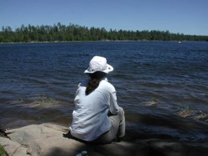
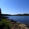
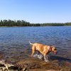
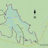
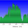
The Willow Springs Lake is one several very popular fishing lakes along the Mogollon rim. The 6.7 mile loop trail is mostly a fishing trail so those with a rod and reel can access the entire parameter of the lake. Luckily for us hikers, it is also a pleasant walk.
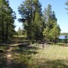
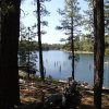
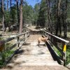
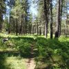
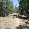
The trail starts from the parking area. The trail is not signed and can be tricky to follow. There was a good amount of dead fall and pine needles hiding the trail much of the time. Thankfully, if you get confused, you can always just follow the edge of the lake. Most of the lazy car people will stay close to the parking area, so the further you walk, the more you can enjoy this lake without an audience. If you are confused about where the trail is, the first half of the trail is marked by blue ribbons, while the second half of the trail is marked by red ribbons. Sometimes the trail hugs close to the shore and other times it is a bit of distance from the lake.
Be sure to bring a fishing pole and enjoy this pretty area.


