
- Hikes in Arizona
- Sedona
- Parson Spring
Parson Spring


Location
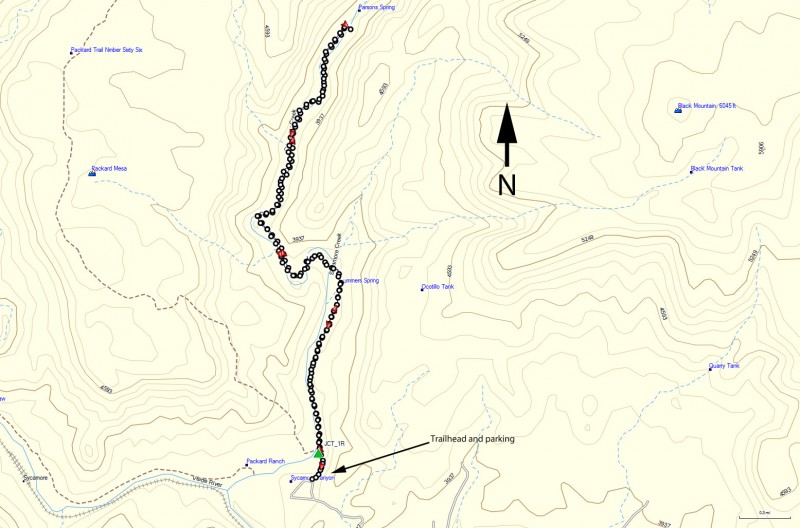
To get to the trailhead: from the Phoenix area, take I-17 North toward Flagstaff, AZ. After passing Camp Verde, take exit #287 West (this becomes HWY 260) towards the town of Cottonwood. Follow HWY 260 West towards Tuzigoot National Monument. Just after leaving the Cottonwood city limits, turn right at the entrance for Tuzigoot. After the bridge, turn left at the signed road for Sycamore Canyon Rd. After starting as a paved road, 4.5 miles later it turns to a well graded dirt road. This road eventually becomes FR131, which continues as a good quality dirt road but soon turns into a high clearance vehicle dirt road. Stay left after 7.1 miles (signed for FR131). The clearly marked trailhead is 10.5 miles from the start of this road.
Hike details
Season
- April
- May
- September
- October
Solitude
Difficulty
Permits
Hike up to Parson springs near Sedona, Arizona.
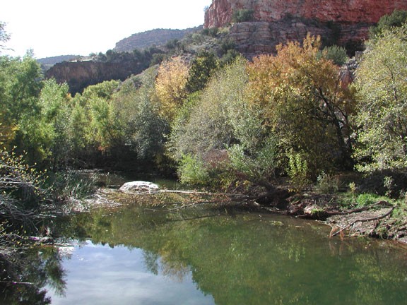
Bring your camera or you will be sorry. There is a wonderful collection of deciduous trees camped next to Sycamore creek. During the fall, the colors light up the area. There is something very uplifting about walking next to a stream in the desert of Arizona.
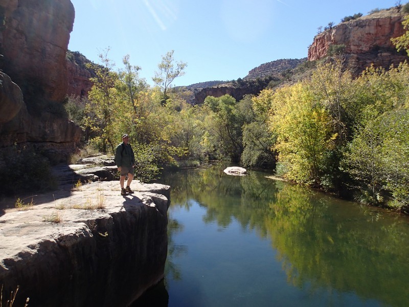
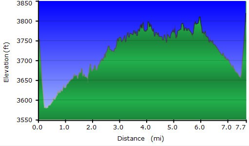
This hike quickly drops 200 ft into Sycamore canyon. You reach a signed trail junction (JCT_1R on the map). Stay right here to stay on the Parson Springs trail. The rest of the 3.7 mile trail to Parson spring is relatively flat and the trail is well marked. There are numerous reasons this trail is enjoyable, besides the previously mentioned Cottonwoods, Sycamores, and Arizona Walnut trees. This trail crosses the creek six times. Each time is a a fun adventure in maintaining dry feet. The most typical locations to loose the trail is at these crossings, so keep a sharp eye out for the cairns here. The second creek crossing was kind of tricky from a route finding standpoint.
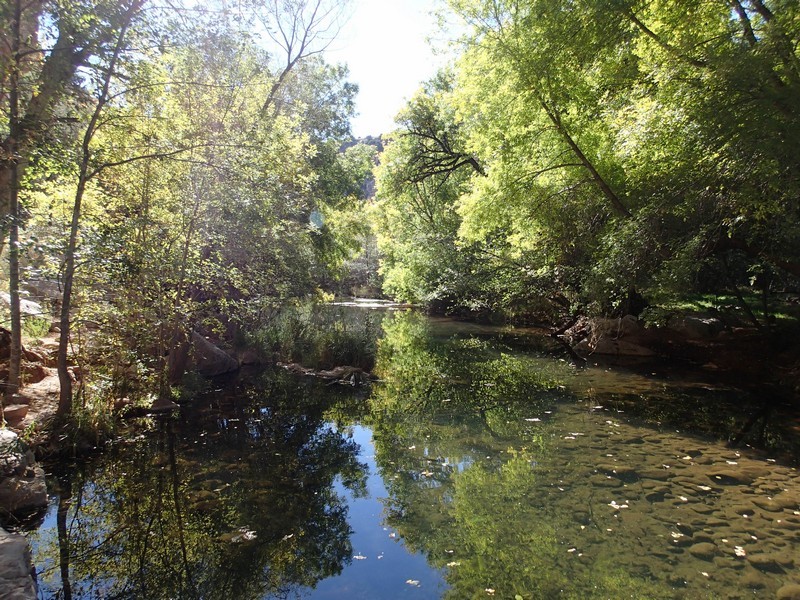
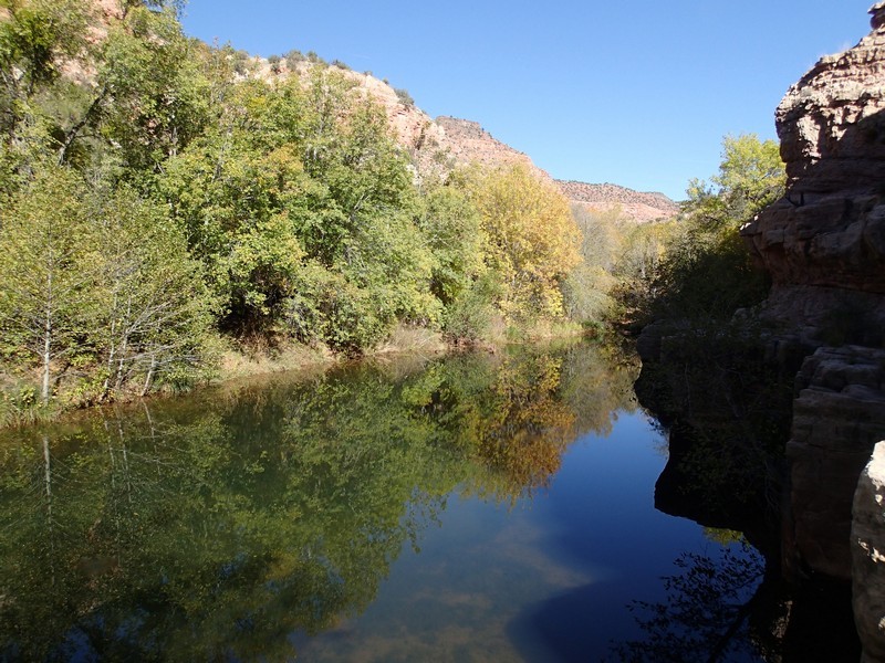
This hike is a lovely one, so feel free to take it slow and snap as many pictures as you can. It seems like there is another postcard picture around every corner. After about 1.1 miles, the trail passes Summers Spring. The spring is on your right and seeps from a rock into the main creek. Continue down the trail, eventually crossing the creek a total of six times. After the sixth crossing, look on your left for a still pool with a barely discernable spring feeding it. This is Parson Spring, an unimpressive end to this impressive hike.
The trail continues for a bit, but the perennial stream quickly dries up and the trail disappears. Return by the same route.
