
- Hikes in Arizona
- Northern Arizona
- Humphries Peak
Humphries Peak

Location
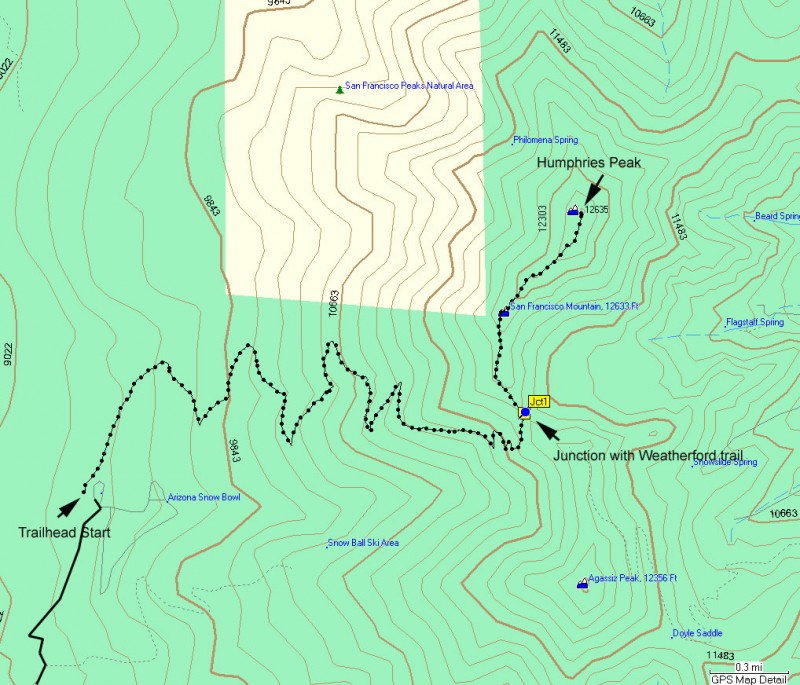
From the Flagstaff area, take HWY 180 towards the south rim of the Grand Canyon. About 7 miles from Flagstaff (Mile marker 223) is the road leading to the Snowbowl Ski Resort. From HWY 180, it is about 6 miles to the parking area just below the lodge.
Hike details
Season
- June
- July
- August
Solitude
Difficulty
Permits
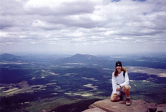
Hike to the top of Humphries Peak near Flagstaff, Arizona.
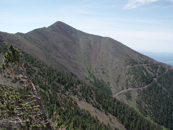
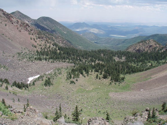
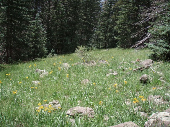
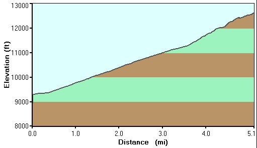
This is a well marked and well used trail to the top of the highest mountain in Arizona. The climb starts in a pine forest, but as your altitude increases, the pine gives way to Aspen, then to above the tree-line. The start of the hike has a fair amount of shade, but the end of the hike has none. There are a few false peaks that sap your enthusiasm, but if you persevere, you will be treated to an amazing view and a grade A photo opportunity!
This hike will take you an entire day, so plan accordingly. Bring plenty of food as well as water. Dress in layers, as the top of the peak is windy and chilly.
Watch the weather closely. If dark clouds begin to form or you hear thunder or see lightning, call it a day and hustle down the mountain. Lightning strikes the peak of Humphreys on a regular basis and you don't want to be near it when it does.
This is a great Arizona hike. Enjoy!
