
- Hikes in Arizona
- Phoenix Area and Central Arizona
- Alta-Bajada Loop (South Mountain)
Alta-Bajada Loop (South Mountain)

Location
To get to the trailhead: From the Phoenix area, take Central Avenue south into South Mountain park. Once you enter the park, stay on the main road, passing the stone buildings that mark the visitor center. Continue on the main road, following the signs for the San Juan lookout, for 2.5 miles (2.0 miles from the stone buildings) to the small trailhead parking on your left. Drive slowly on these roads and watch out for bikers, hikers, and runners on the road
Hike details
Season
- January
- February
- March
- October
- November
- December
- June
- July
- August
Solitude
Difficulty
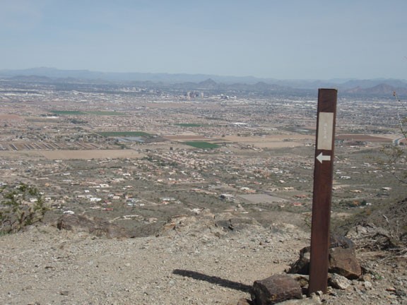
30 yr old Recommendation: The views of the area are great, both North towards the Phoenix city center and South of the park. The loop described here is a Moderately difficult hike.
Permits
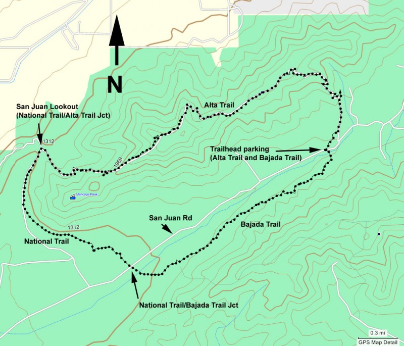
Loop hike with the Alta and Bajada trails in South Mountain park in Phoenix, Arizona.
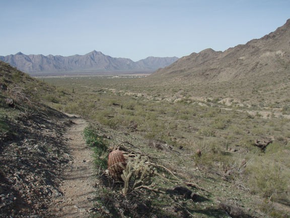
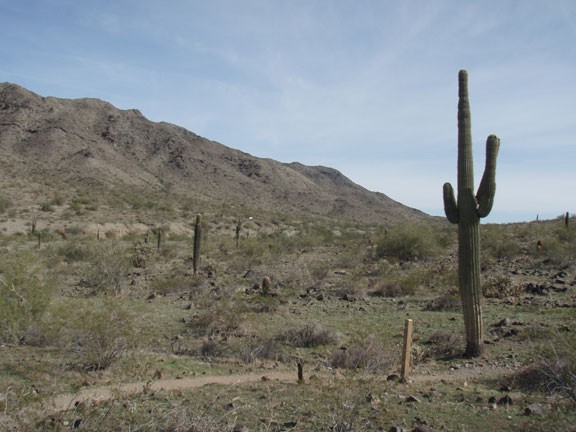
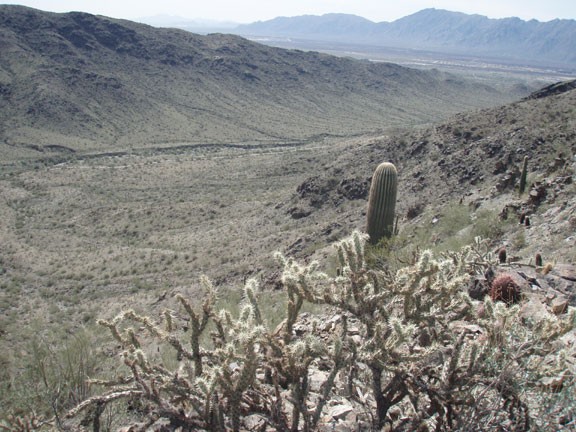
The first decision you need to make is which direction you would like to take the loop. We decided to start on the Bajada trail and finish on the Alta trail, so the write up reflects this choice. From the small parking area, take the signed dirt trail on the south side of San Juan Road. The trail is easy to follow and there are trail markers to keep you headed in the right direction. This flat trail through the desert roughly parallels the road. After 3.2 miles, you'll reach the signed junction with the National Trail. Turn right here, cross San Juan road, and head to San Juan lookout. The San Juan lookout has a small stone house, limited parking, and nice views of some of the south Phoenix farmlands.
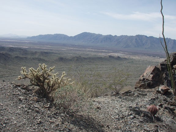
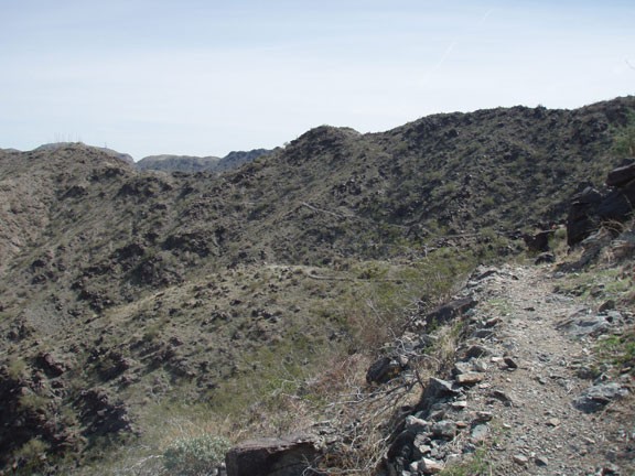
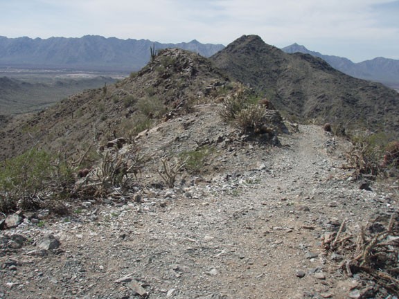
From the San Juan lookout there are several trails. The Alta trail starts out going South-East and climbs to the ridgeline to your right. You'll gain 900 ft of elevation relatively quickly, leading to impressive views of South Phoenix, downtown Phoenix, and the South mountain park. There are several nice places along the ridgeline to stop and have lunch while enjoying the views your hiking effort has earned.
From the East side of the ridgeline the Alta trail heads south back to the trailhead and parking area.
Click here for the official Phoenix trail map.
