
- Hikes in Arizona
- Phoenix Area and Central Arizona
- Bursera Peak Loop (South Mountain)
Bursera Peak Loop (South Mountain)


Location
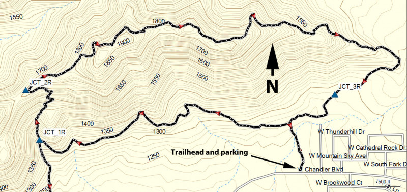
To get to the trailhead: From the Phoenix area, take I-10 south to the HWY-202 Loop West. From the HWY-202, take the 17th Ave exit and head north to Chandler Blvd. Turn left on Chandler Boulevard and after you pass 19th Avenue, park at the obvious trailhead on the right.
Hike details
Season
- January
- February
- March
- April
- October
- November
- December
Solitude
Difficulty
Permits
Hike the Bursera Peak Loop trail in South Mountain park in Phoenix, Arizona.
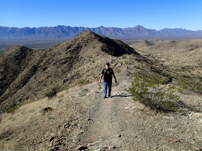
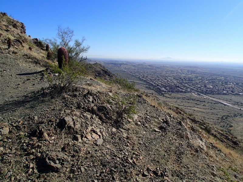
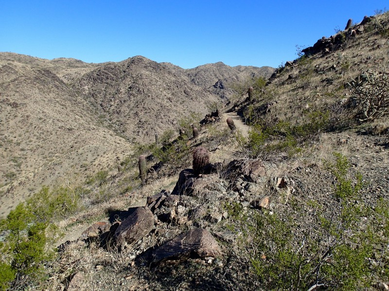
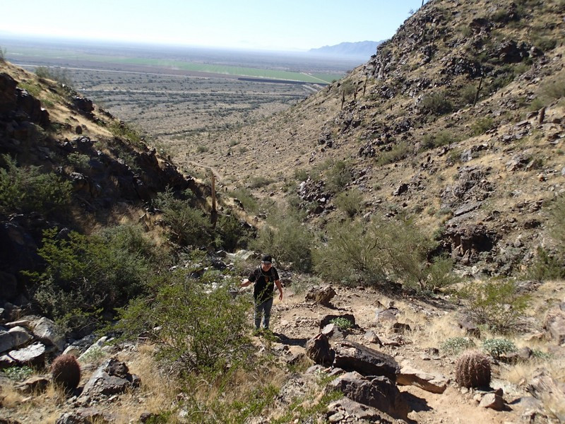
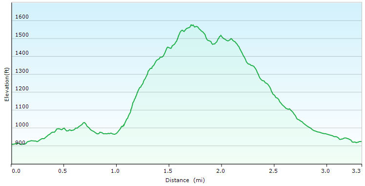
The far west end of South Mountain hosts a relatively uncrowded trailhead called the Pyramid Trailhead. There's a great loop hike from this trailhead to some enjoyable views from Brusera peak. From the parking area, take the first unsigned trail junction left and hike generally west along the base of South Mountain park. After hiking this generally flat section for 0.9 miles, you'll reach a trail junction (JCT_1R on the map). Turn right here and start climbing up the switchbacks. About a 550 feet climb will put you at the Bursera ridgeline (JCT_2R). Turn right here and hike along the ridgeline, enjoying views to both the North (South Mountain Park) and South (Ahwatukee). After about 0.7 miles of hiking along the ridgeline, the trail starts its descent. At the unsigned junction with the Pyramid trail (JCT_3R on the map) stay right to hike the final 0.3 miles to the trailhead.
