
- Hikes in Arizona
- Phoenix Area and Central Arizona
- North Mountain (Phoenix area)
North Mountain (Phoenix area)


Location
In the Phoenix area, take I-10 West to the 7th street exit. Take this road north about 8.5 miles to the signed entrance to the North Mountain park on the left. There are restrooms and water at this park.
Hike details
Season
- January
- February
- March
- April
- October
- November
- December
Solitude
Difficulty
Permits
Hike North Mountain near Phoenix, Arizona.
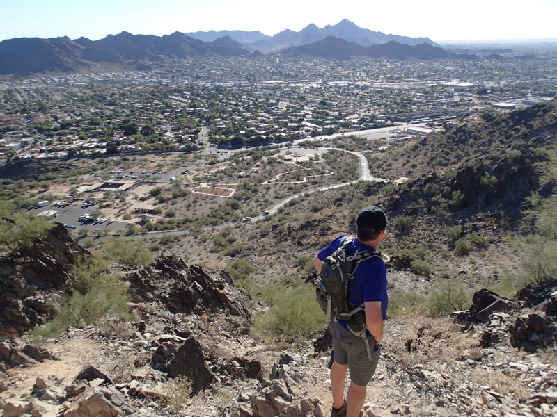
From the parking area, take the trailhead for trail #44 on the South side of the park. Although you can take this loop in any direction, we took the trail in a clockwise direction.
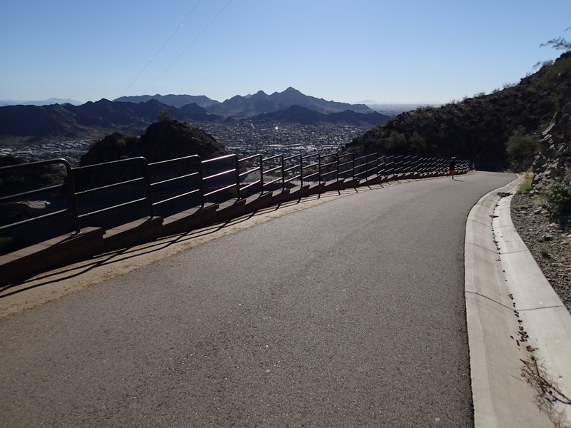
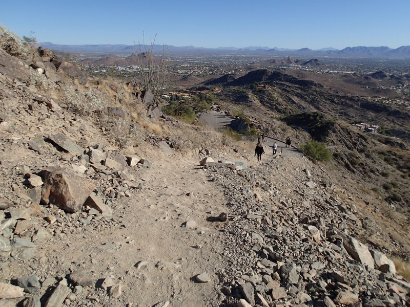
The first half of this trail is rocky and requires some easy scrambling at sections. There are multiple spur trails and it is easy to get off trail, but try to look for the Trail 44 markers as well as the most well worn path. Many of the trail spurs are shortcuts, so you'll likely rejoin the main trail. This trail gains elevation quickly, so you'll enjoy some really nice views of the Phoenix area. Be sure to turn around once in a while to see them. After 0.75 miles of hiking, you'll reach the peak of North Mountain. From here you can see downtown Phoenix, downtown Tempe, Glendale, Shaw Butte, and many other Phoenix area landmarks. Continue on the trail to the paved section of the hike. This road services the radio towers at the top and makes for a quick walk down. Don't miss the turn off back onto dirt to get back to the parking area ("Leave Road Here" on map). From this trail junction, it's a short downhill back to the parking area and your car.
Enjoy!
