
- Hikes in Arizona
- Phoenix Area and Central Arizona
- Crack in the Rock (Lake Havasu)
Crack in the Rock (Lake Havasu)

Location
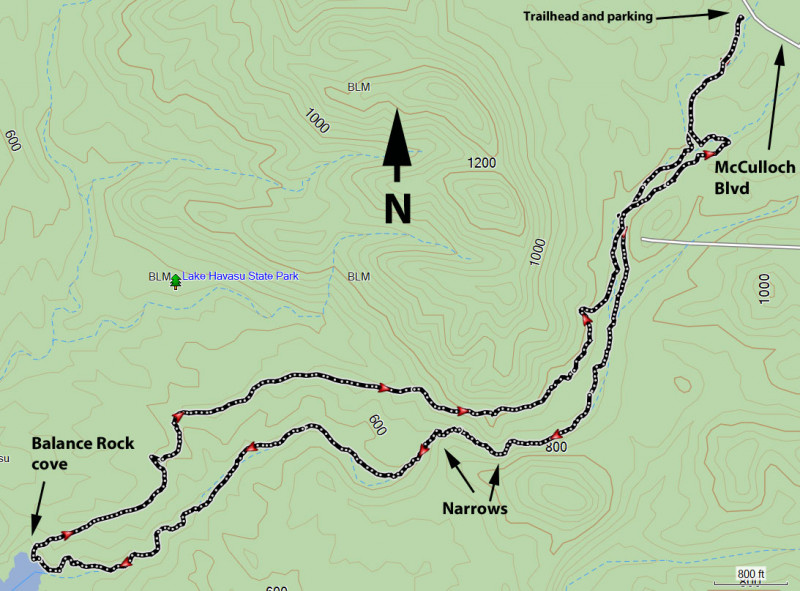
To get to the trailhead: from the Lake Havasu area, take HWY-95 south to the intersection with McCulloch Blvd. Turn right and take this paved road 0.75 miles to the signed trailhead on the right (with overflow parking on the left). There is a bathroom here, but no water.
Hike details
Season
- January
- February
- March
- October
- November
- December
Solitude
Difficulty
Permits
Hike the Crack in the Rock trail near Lake Havasu, Arizona.
If you're in the Lake Havasu area and feel like something other than playing in the lake, there's a great hike just south of the city to some really fun slot canyon narrows.
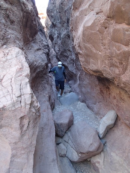
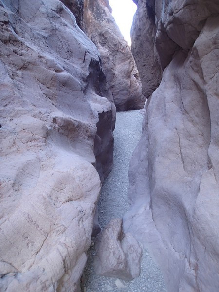
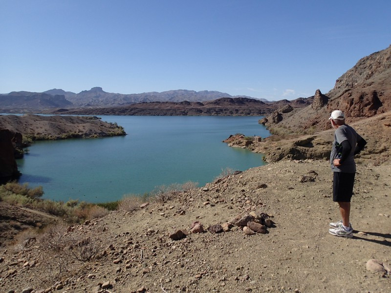
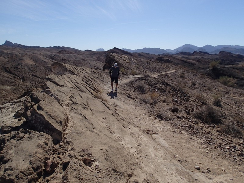
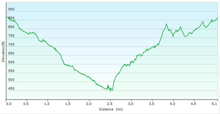
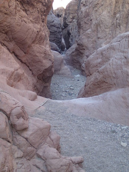
From the trailhead, follow the hiking signs marked in yellow. There are multiple trails in this area, so if you miss a yellow trail sign, try to pick a trail that follows the wash, or you can even walk in the wash. After about a mile of hiking, you'll reach the narrows. There narrows require minor scrambling, with the exception of a 6 foot falls. There is typically a rope here to help with the descent, but is still manageable without the rope with a little scrambling skill. Scrambling through the narrows is lots of fun, but ends all to quickly. The trail continues all the way to the shores of Lake Havasu (after 2.5 miles of hiking) and a place called Balanced Rock cove. There is a nice view of the lake here and lake access if you'd like to take a swim. The return trail heads off to your left. You'll follow the hiking markers with the blue on top. This section of trail is desolate, but be sure to turn around once in a while for big views of the lake and the city. Eventually, this trail bypasses the narrows and returns to the wash. Follow the wash back to the trailhead and your car.
