
- Hikes in Arizona
- Mogollon Rim
- Babe Haught trail to Knoll Lake
Babe Haught trail to Knoll Lake

Location
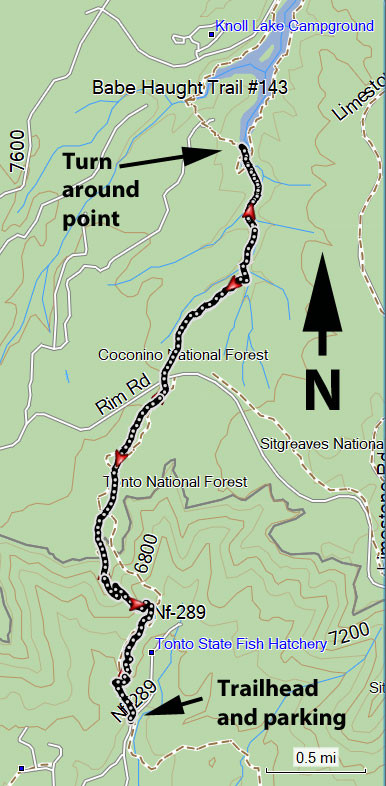
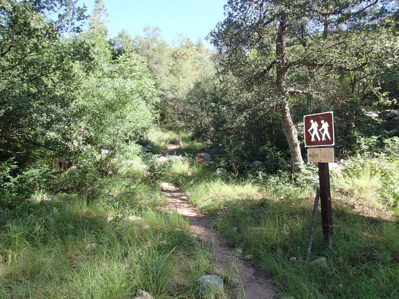
From the Phoenix area, take HWY 87 North towards Payson. Once in Payson, take HWY 260 east toward Kohl's Ranch, AZ. Turn left at the sign for the Tonto Fish Hatchery. Take this paved road 6 miles to the signed parking on the left just before entering the hatchery. There are several trails that leave from this parking area. The one you want is the northern trail (facing the hatchery) on the left signed as #143.
Hike details
Season
- June
- July
- August
- January
- February
- December
Solitude
Difficulty
Permits
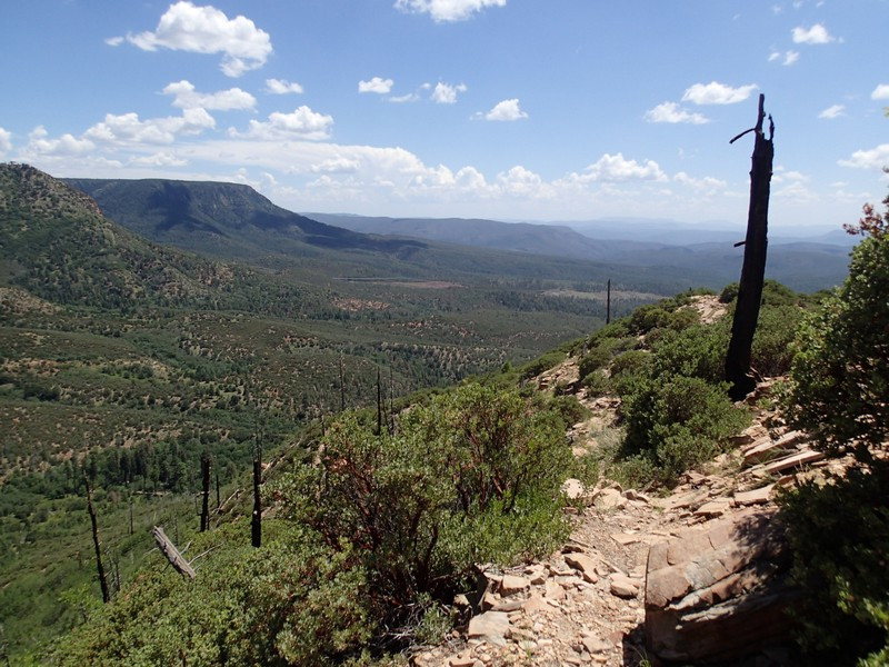
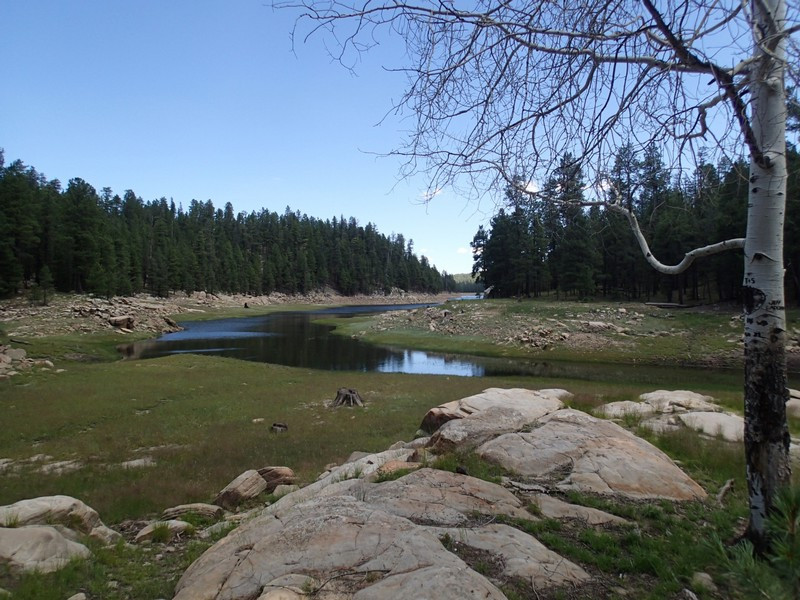
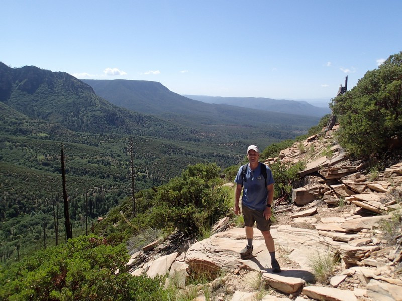
Hike along the Babe Haught trail to Knoll lake in Arizona.
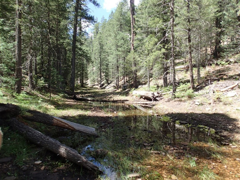
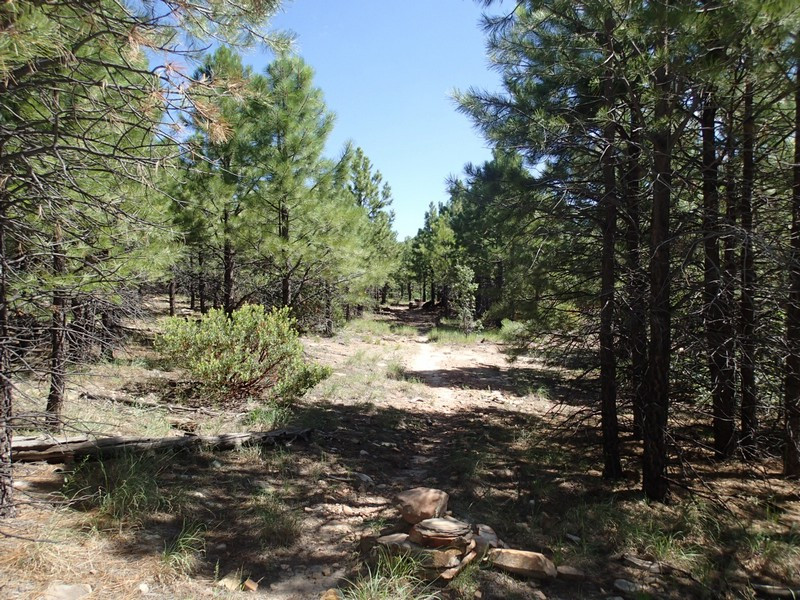
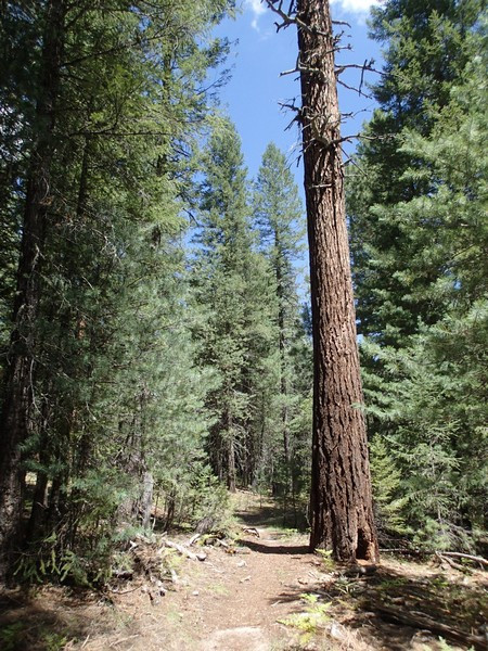
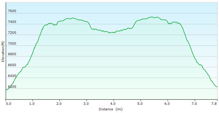
There are multiple trails from the parking area. The trail you want is the trail to the North of the parking area on the left. It is signed as #143 and heads generally north from the parking area. This trail has little shade as you make the 1200 ft climb up to the top of the Mogollon rim. However, your hard work is rewarded by fantastic views, so look behind you once in a while as you climb. After about 1.2 miles of hiking and 1200 ft of climbing, you'll reach the edge of the Mogollon rim. From here the trail flattens out significantly, but becomes a bit tricky to follow. Thankfully, there are many helpful cairns to keep you on the trial. After another mile of hiking, you'll cross the rim road. From here, the trail becomes much more shaded and you'll walk among tall pine trees, ferns, and even some aspen. There are small creeks in the area nearby and the final 1.4 miles to Knoll lake is really pleasant walking. Knoll lake makes a great place for lunch. When you're ready, return the way you came. If you'd like, there is a short trail to the lovely Tonto creek on the East side of the road. It's worth the detour to soak your feet and revitalize before taking the long drive home.
