
- Hikes in Arizona
- Prescott Area
- Isabella Trail (Spruce Mountain)
Isabella Trail (Spruce Mountain)


Location
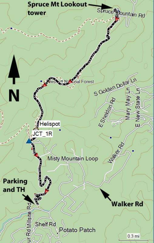
To get to the trail head: from the Phoenix area, take I-17 North toward Flagstaff. At Cordes Junction, take HWY-69 towards Prescott. Just after leaving Prescott Valley, you'll turn left onto Walker Road (near the Costco). Take this road 10.5 miles where it meets the junction with Poacher's Row road. Walker road starts out paved and stays that way for the majority of the time. However, it does change to well graded dirt. There were passenger cars on this road, but I felt more comfortable with a medium clearance vehicle. You'll go through a residential area, so please keep a low profile so we can continue to have access to this trailhead. At the signed intersection with Poacher's Row road, turn right and drive 0.1 miles to the signed turn for the Isabella trail. Drive on this rocky and rutted road for 0.1 miles (high clearance vehicle needed) and park in the small parking area on the left.
Hike details
Season
- May
- June
- August
- January
- February
- December
Solitude
Difficulty
Permits
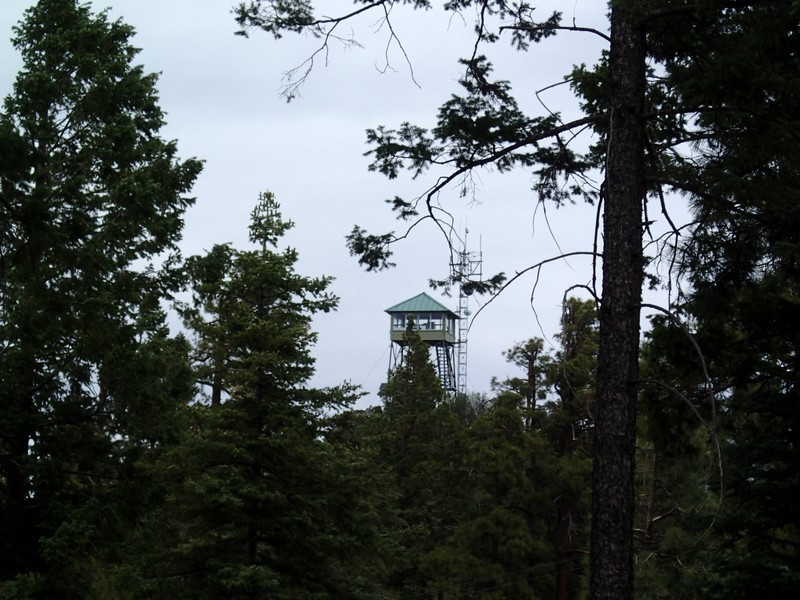
Hike to the fire lookout tower on Spruce Mountain via the Isabella trail near Prescott, Arizona.
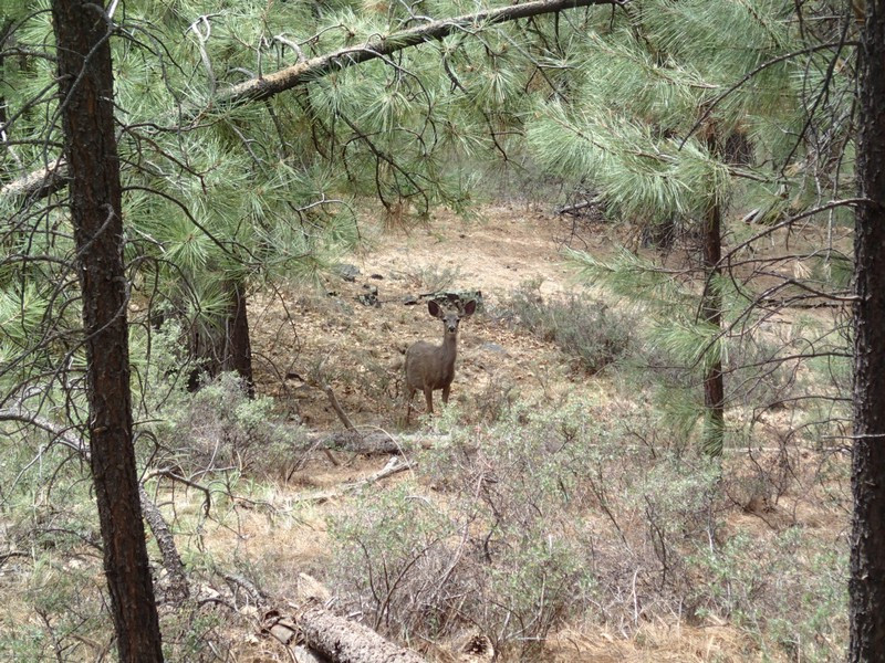
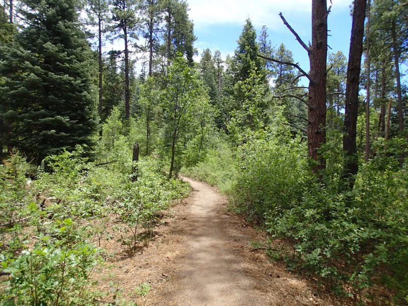
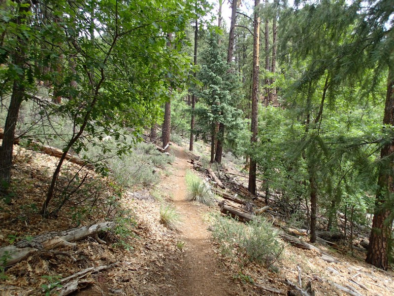
From the small parking area, follow the brown trail sign marking TR377 (Isabella Trail). This well worn trail is easy to follow and is pleasantly shaded by pine and spruce. We spotted a few mule deer during the first mile of this hike as it climbs gently up the slope. After a little over a mile of hiking, you'll reach the signed trail junction (JCT_1R on the map). Stay right here to continue on towards Spruce Mountain. After another 0.1 miles, you'll pass a sign marking a helispot. Continue on the trail as views peek out from the trees.
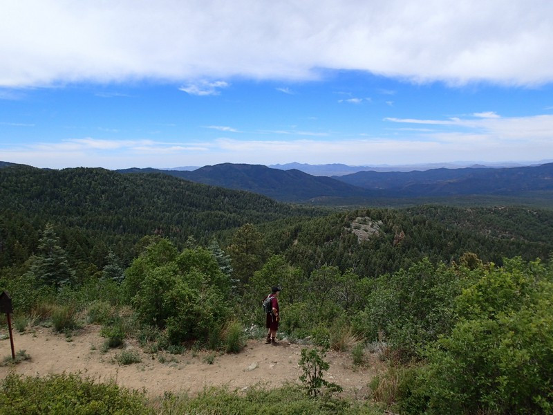
You'll reach the easily spotted fire lookout tower after 3.2 miles of hiking. Even if you're not allowed up, there are great unobstructed views to be enjoyed here, with Granite mountain to the North West, the Mazatzal range to the East, and the town of Prescott to the North.
When ready, return the way you came.
