
- Hikes in Arizona
- Sedona
- Capitol Butte
Capitol Butte

Location
To get to the trailhead: from the Phoenix area, take I-17 North toward Flagstaff. Just after Verde Junction, take HWY-179 west towards Sedona. Once in Sedona, take HWY-89A South. After 3.1 miles, turn right onto Dry Creek Road. Continue on Dry Creek road for a few more miles until you reach the intersection of FR152 (to Devil's Bridge trailhead). Either park at the Devil's bridge overflow parking lot or along the side of Dry Creek Road. Devil's Bridge is a popular hike, so parking may be a challenge.
Hike details
Season
- March
- April
- October
- November
Solitude
Difficulty
Permits
Hike and scramble to the top of Capitol Butte in Sedona, Arizona.
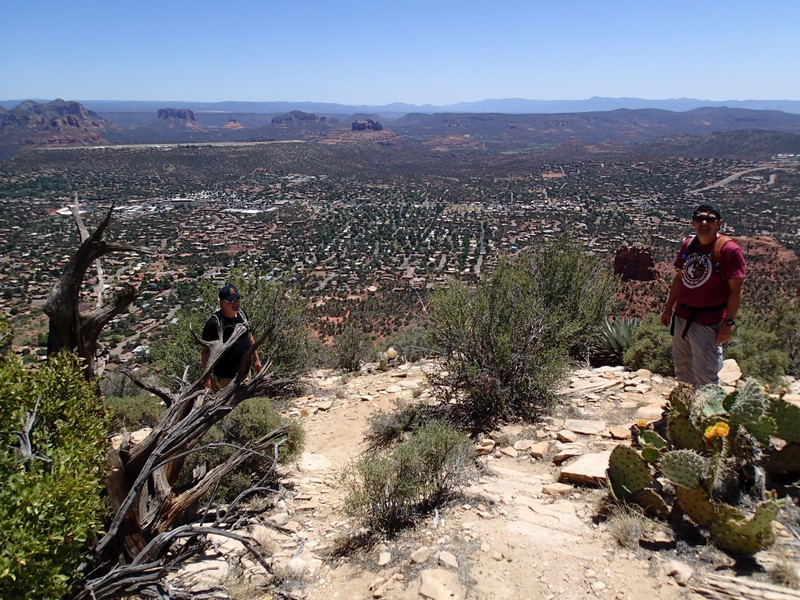
Capitol Butte towers over western Sedona. Believe it or not, there is a route to the top of this monolith for the highly skilled hiker. However, this route is not to be underestimated. The route finding is challenging and you'll be scrambling steeply up many sections of this route. If this sounds like something you can do, read on!
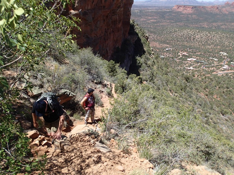
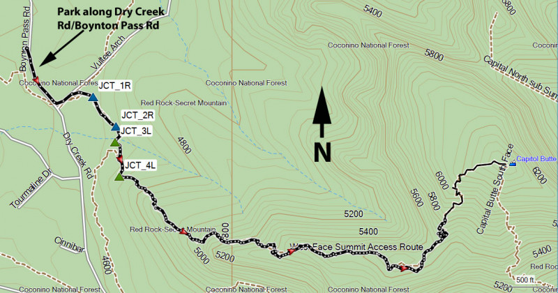
The first challenge is finding parking. The trail is near Devil's Bridge, a highly popular hike in this area. So try to park along Dry Creek road near the intersection or at the Devil's Bridge overflow parking area. From there, backtrack to the intersection of Dry Creek Road and FR152. The trail you want is on FR152 about 200 ft from the intersection. This section is relatively easy hiking, but it's tricky to find the correct trail to take you up to the top of Capitol Butte, as none of the trail junctions are signed. Hike 200 ft from the road to reach your first unsigned trail junction (JCT_1R on the map). Turn right here and hike another 400 ft to the second unsigned trail junction (JCT_2R on the map). Turn right again here. Another 150 ft of hiking along the trail gets you to the third unsigned trail junction (JCT_3L on the map). Stay left here. After 400 more feet of hiking, you'll want to turn left on a faint trail that has a small cairn marking it (JCT_4L on the map). There's a picture of the junction so you can recognize it. From here the trail begins its steep and continuous climb to the top of Capitol Butte.
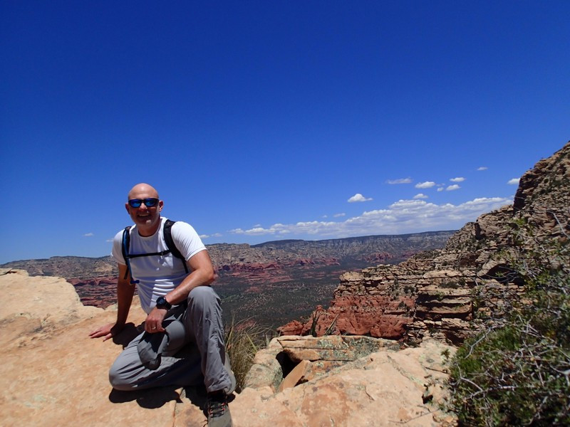
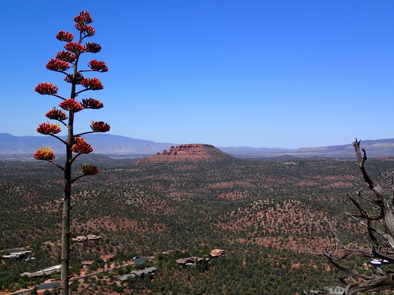
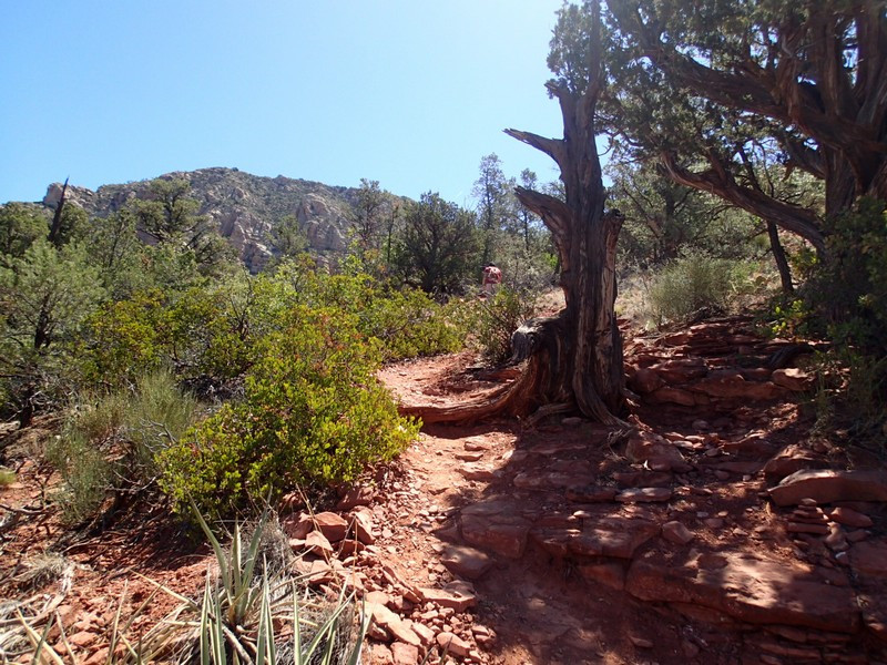
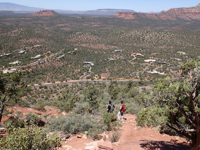
Unfortunately, the route finding hasn't stopped, it's just different. Now you're looking eagle eyed out for cairns that mark the route. Frequently it is easy to lose the trail as false trails intersect the correct route or the correct route is difficult to see. Always be following cairns. If you find yourself on a scramble with exposure or a very difficult climbing move, you're off trail. Backtrack and look for the cairns again. Halfway you'll reach the top of Lizard Head Rock, which is a great place to catch your breath and take in the views of Sedona and the Cockscomb formation. The route continues with alternating hiking and scrambling (follow those cairns!) all the way to the top where you'll enjoy views of Oak Creek canyon, Wilson mountain, and Sedona. There's also a jar at the top to register your name to memorialize your success in climbing this monster. Congratulations!
