
- Hikes in Arizona
- Prescott Area
- Badger Mountain Trail loop
Badger Mountain Trail loop


Location
To get to the trail head: from the Phoenix area, take I-17 North toward Flagstaff. At Cordes Junction, take HWY-69 towards Prescott. After leaving the Prescott Valley area, you'll reach the intersection of HWY-69 and HWY-89. Stay left on Gurley street and make a quick left turn onto Robinson Drive into a residential area. From Robinson Drive, turn left on Butterfield Road. When you reach a five way intersection, turn right onto Wells Fargo Road. When Wells Fargo road turns north, look on your right for a small, hidden dirt road (the trailhead sign is tough to spot). Take this well graded dirt road to the parking area and Turley Trailhead.
Hike details
Season
- April
- May
- September
- October
- January
- February
- December
Solitude
Difficulty
Permits
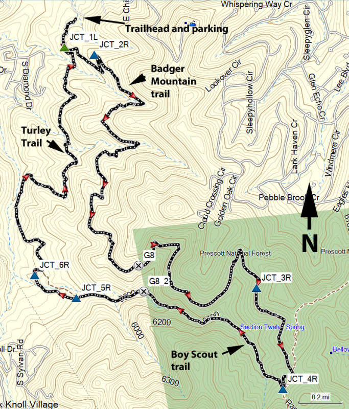
Hike the Badger Mountain trail near Prescott, Arizona.
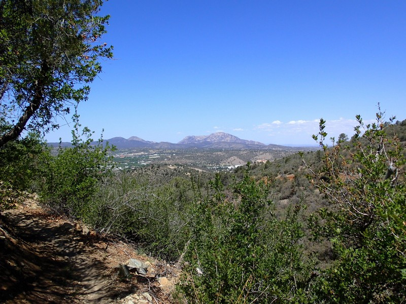
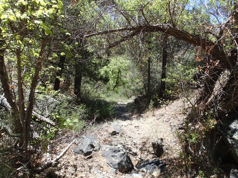
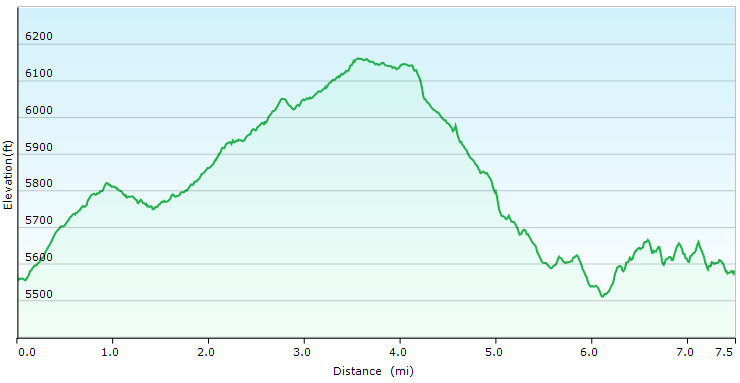
From the parking area, walk along the well worn Turley trail to JCT_1L on the map (about 0.3 miles). At this junction, make a left and hike another 0.3 miles to the signed junction with the Badger Mountain trail. Turn right at this junction (JCT_2R) and enjoy the walk through this Juniper and pine forest area. The trail contours around Badger mountain, with great views of Granite Mountain and Thumb butte to the North. After 3 miles of hiking from JCT_2R, you'll reach another trail junction (JCT_3R on the map). Turn right and continue along this trail for 0.6 miles to the trail junction with the Boy scout trail (JCT_4R on the map). Turn right here.
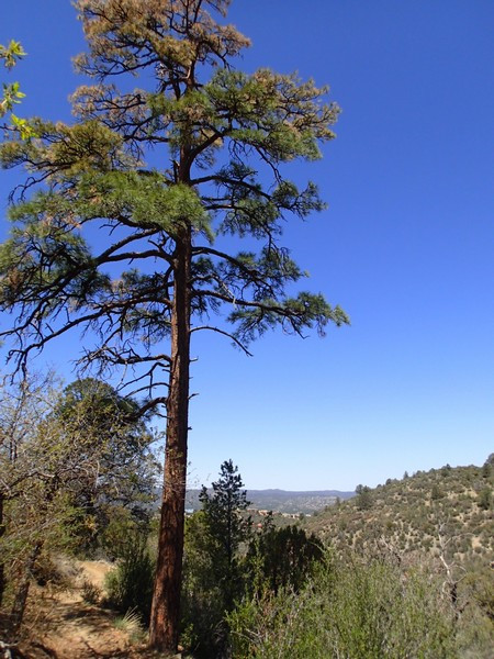
Along this section of trail, the pine trees become larger and provide more shade. Along this section of trail, there's an old, abandoned cement water tank that used to hold water from a spring. After about 0.9 miles, you'll reach the intersection with the Turley Trail (JCT_6R). Turn right here. In this section are a number of dirt roads and paths going off to the left. To stay on the Turley trail, simply stay right at all of these unsigned trail junctions. The Turley trail is more rocky and has some elevation gain and loss before it reaches the first trail junction (JCT_1L). Stay left here to hike the quick 0.3 miles back to the parking area.
Keep an eye out for mountain bikes, as they seem to like this trail. Also, please keep a low profile in the neighborhood so we can continue to enjoy hiking access in this area.
