
- Hikes in Arizona
- Phoenix Area and Central Arizona
- Adero Canyon TH-McDowell Mountain Preserve
Adero Canyon TH-McDowell Mountain Preserve


Location
In the Phoenix area, take state HWY-87 towards Payson. Turn left onto Shea Blvd into Fountain Hills. From Shea Blvd, drive 3 miles and turn right onto Palisades Blvd. Take Palisades Blvd for 1 mile and turn left onto signed Eagle Ridge Drive. Take this paved road 2.2 miles through the neighborhood to the signed trailhead and parking. There are restrooms and water at the trailhead.
Hike details
Season
- January
- February
- March
- April
- October
- November
- December
- July
- August
Solitude
Difficulty
Skills
Permits
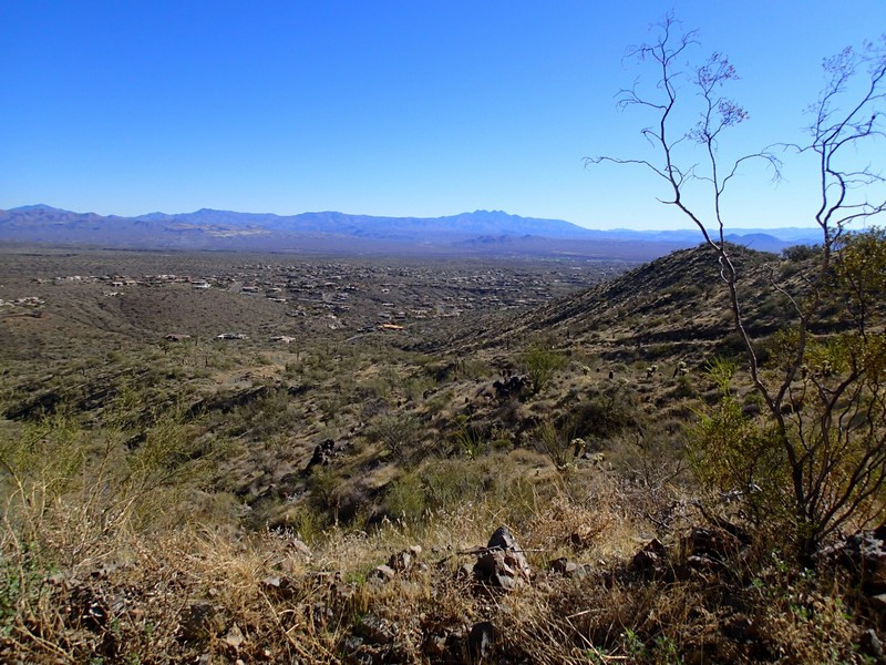
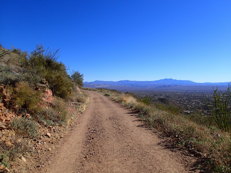
Hikes from the Adero Canyon Trailhead in the McDowell Mountain Preserve near Fountain Hills, Arizona.
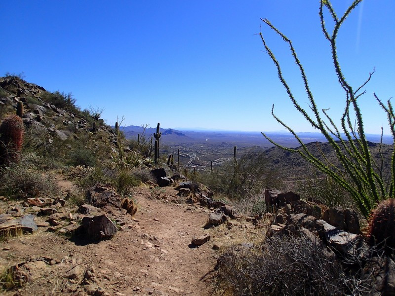
From the parking area, follow the signs to the Promenade trail (left when leaving the parking area). Although there is route finding on this hike, thankfully, the trail junctions are well signed.
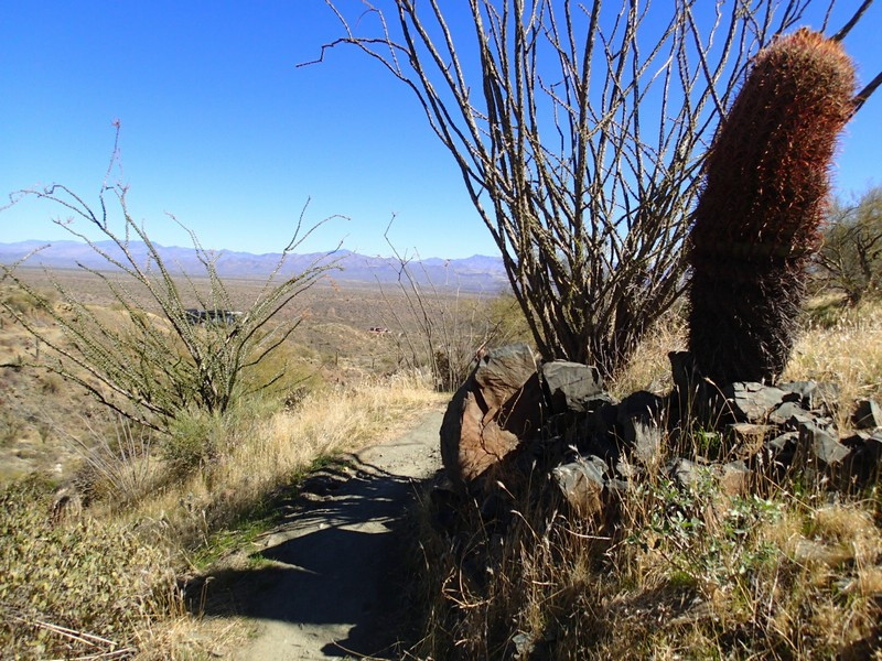
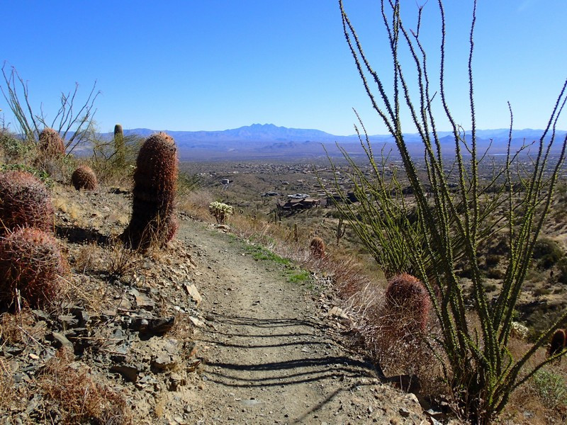
Follow the Promenade trail by staying right and following the signs. You'll enjoy the impressive views of Fountain Hills and the Four Peaks to your right. After about a mile of hiking, you'll reach the junction with the Sonoran Trail and the Lower Sonoran Trail. Stay right at this signed junction to hike the lower Sonoran Trail. Take this trail about 2 miles to the arbitrary turn around point at the signed edge of the preserve. Backtrack here and take the Sonoran trail for your return. After about 2 miles of hiking, stay right at the signed junction to take the Western Loop trail. This trail climbs 500 feet to a cool lookout where you'll enjoy great views of Scottsdale to the West, Fountain Hills to the East, and the McDowell Mountain range to the North. Continue on this trail as it drops quickly to the parking area.
