
- Hikes in Arizona
- Phoenix Area and Central Arizona
- Thunderbird Conservation Area
Thunderbird Conservation Area

Location
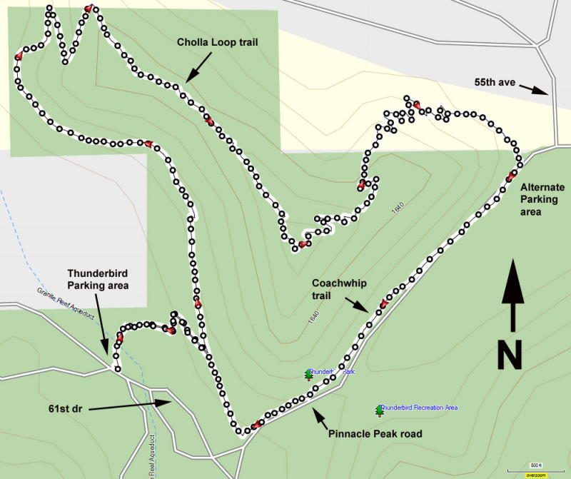
To get to the trailhead: from the Phoenix area, take I-17 North to the HWY-101 loop. Take the HWY-101 loop West to the 59th avenue exit. Turn right (North) and take 59th ave about 1.7 miles to the Thunderbird Parking area on the left. There are restrooms and water at this park.
Hike details
Season
- January
- February
- March
- April
- November
- December
Solitude
Difficulty
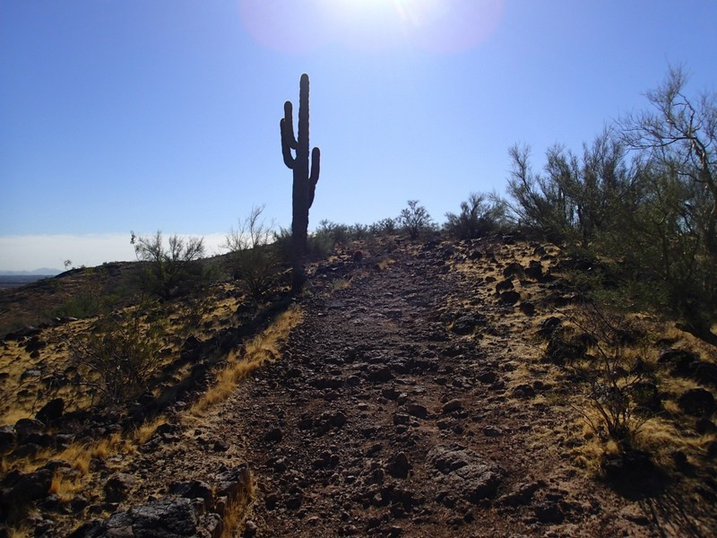
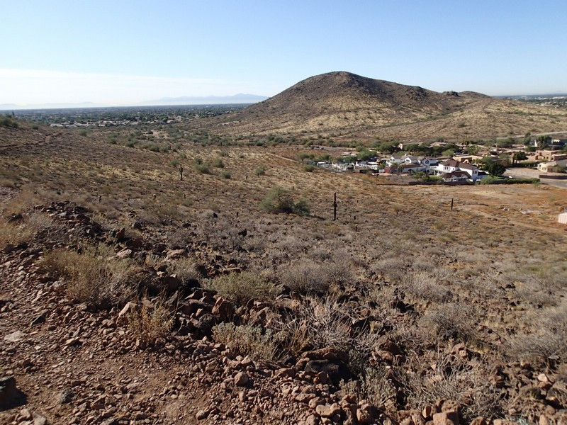
Hike in the Thunderbird Conservation Park near Phoenix, Arizona.
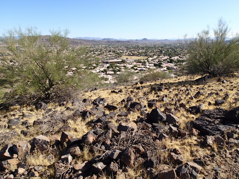
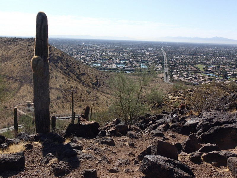
The city of Glendale has preserved some pristine desert for the enjoyment of the folks living in this section of the valley. The Thunderbird Conservation park is easily accessed and contains a number of enjoyable hiking trails. One good loop hike to take as an introduction to this area is made up of the Cholla loop and Coachwhip trails.There are several parking areas that access these trails. We parked at the Thunderbird parking lot near the middle of the park. There are restrooms and water available here.
From the parking area, hike an unnamed trail about 0.2 miles to the easily spotted Cholla Loop trail. Turn left on the Cholla trail as it winds up along the mountain side. You'll enjoy views of both the Glendale area as well as the Thunderbird park. After about 2.3 miles of hiking along this trail, you'll reach a signed junction with the Coachwhip trail that runs southwest along Pinnacle Peak road. This trail gets you quickly back to the start after about one mile of hiking.
