
- Hikes in Arizona
- Phoenix Area and Central Arizona
- Beverly Canyon Trailhead Loop (South Mountain)
Beverly Canyon Trailhead Loop (South Mountain)

Location
To get to the trailhead: From the Phoenix area, take the I-10 freeway to the Baseline Road exit. Take this exit West for about 1 mile and make a left onto 46th street. Follow this paved road 0.3 miles to the signed Beverly Canyon trailhead and parking area.
Hike details
Season
- January
- February
- March
- April
- October
- November
- December
Solitude
Difficulty
Permits
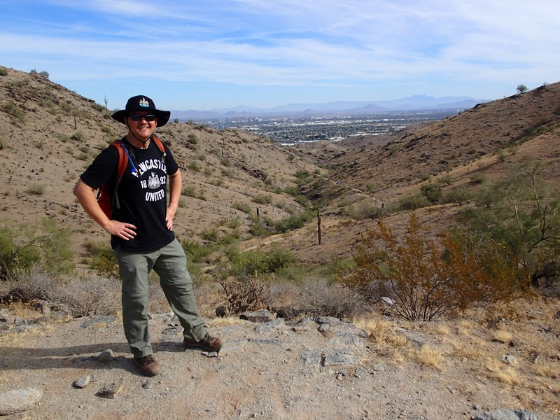
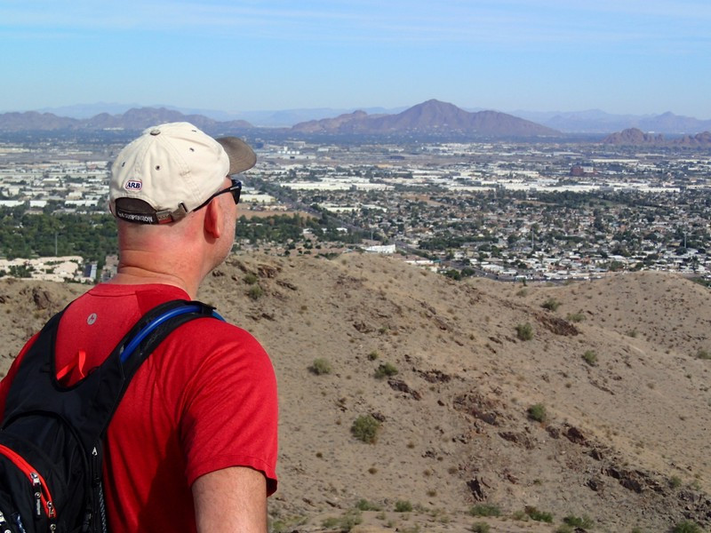
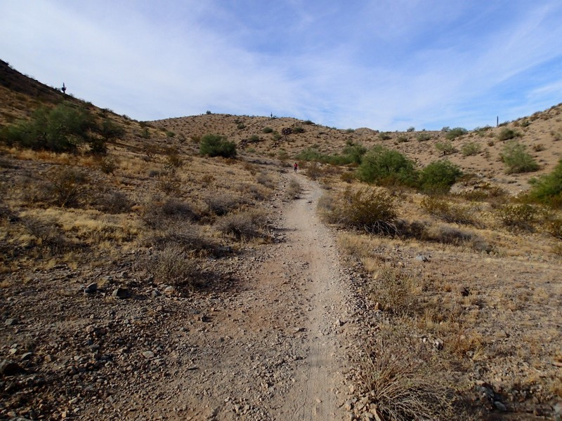
Loop hike with the Javelina and Ridgeline trails from the Beverly Canyon Trailhead in South Mountain park in Phoenix, Arizona.
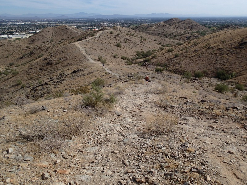
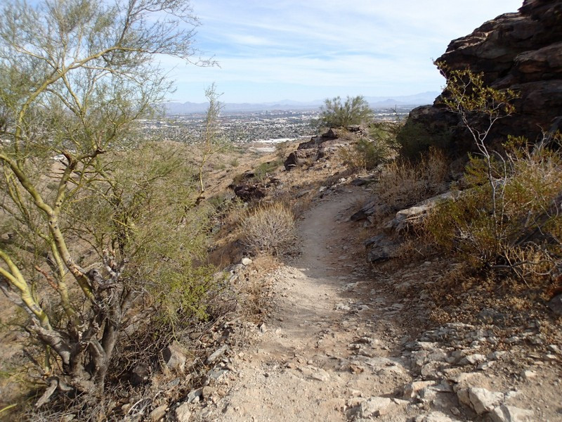
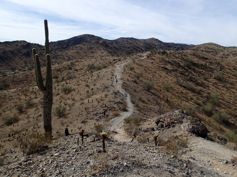
There are a couple ways to access this area of South Mountain park. The description of this hike is from the Beverly Canyon trailhead, but you can also park at the Pima trailhead and access the loop from there as well. From the parking area of the Beverly Canyon trail, take the signed Javelina trail (on the West side of the parking area). This trail is easy to follow as it heads along the Northern edge of the park. After 1.7 miles of gradual elevation gain, turn left on the signed junction with the Ridgeline trail. This aptly named trail stays on a ridgeline, allowing for views of the park, as well as views of the Phoenix area. This 1.6 miles section of trail ends at the Beverly Canyon trail. At this junction, turn left and walk the quick 0.1 miles back to the trailhead.
