
- Hikes in Arizona
- Superstition and Mazatzal Wilderness
- Cave Trail via Peralta Canyon Loop Hike (Superstition Wilderness)
Cave Trail via Peralta Canyon Loop Hike (Superstition Wilderness)


Location
From the Phoenix area, take US-60 East, leaving the city limits. After leaving Apache Junction, continue about 8.5 miles, turning left onto signed Peralta Road (FR 77). After starting out as a paved road, this quickly turns into a well maintained dirt road. The trailhead and parking appears after 7 miles on this road. The trailhead has a restroom, but no water.
Hike details
Season
- January
- February
- March
- April
- October
- November
- December
Solitude
Difficulty
Permits
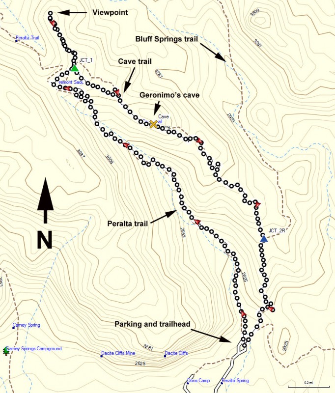
Loop hike with the Peralta trail to the Cave trail in the Superstition wilderness, Arizona.
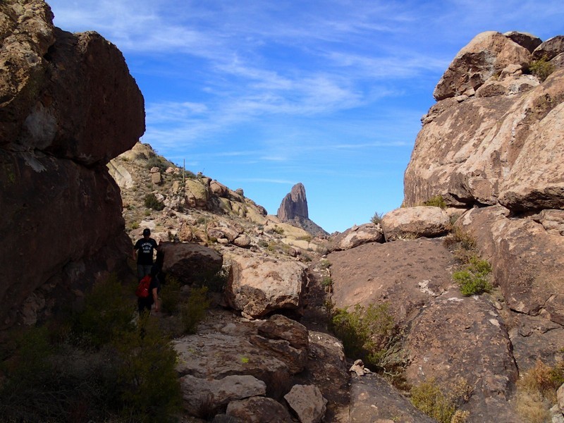
The Peralta trail is a popular way to get to Freemont saddle and a great view of Weaver's Needle. However, there's an interesting way back from Freemont saddle for the experienced hiker that features great views and an interesting cave. The Cave Trail is really more of a route and it requires some tricky route finding and some scrambling. So be confident in your route finding abilities before trying this hike. The Cave Trail is recommended as part of a loop hike, heading up the Peralta trail and down the Cave trail and this write up reflects that. From the parking area, there's several trails that start at the Peralta trailhead. Make sure you pick the trail that says "Peralta Trail" (left at the initial sign). This trail stays near the bed of Peralta Canyon, occasionally crossing the wash. As you continue your climb, you will eventually reach Freemont saddle. You'll know it, because as you approach the saddle, the imposing Weaver's Needle comes into view.
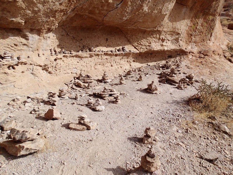
From Freemont Saddle, head to your right to find the trail towards the lookout point. You'll only walk 0.1 miles to the junction with the spur trail that leads to a great lookout point for Weavers Needle (JCT 1 on the map). This detour is well worth it and makes a great place for a snack. Backtrack to the trail junction and start heading Southeast. The first third of the Cave Trail is pretty easy to follow, but not nearly as clear as the Peralta trail, so keep an eye out for cairns for the rest of the hike. From the trail junction, it's about 0.5 miles to a cave known as Geronimo cave. As caves go, this one is pretty shallow, but interesting nonetheless. From this point, the trail gets more difficult to follow, so really keep an eye out for cairns. Unfortunately, there are multiple paths in this section and cairns represent one of several ways down. After passing the cave, the best way down is on a cairned marked trail to the left that briefly goes back Northeast before dropping Southeast again. Otherwise, you can go more Southeast, but it's a bit of a steep scramble. Either way works. The trail deteriorates to a route in this section and you'll need to follow cairns for the next 0.5 miles. The trail stays generally on the ridgeline. The map will be helpful to keep you on the path, but you'll rely heavily on those route finding skills. Since this section is more route like than trail, there are several methods you can take depending on whose cairns you follow. It's an adventure in scrambling sometimes! After this tricky section, you'll reach a more normal trail that intersects with the Bluff Springs Trail (JCT 2R on the map). Turn right here and walk the fast 0.6 miles back to the trailhead. .
