
- Hikes in Arizona
- Phoenix Area and Central Arizona
- Humboldt Mountain
Humboldt Mountain


Location
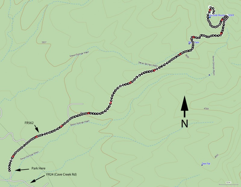
To get to the trailhead: from the Phoenix/Mesa area, take HWY-101 North to the Pima Road exit. Take Pima road North to Cave Creek Road. Turn East (Right) on Cave Creek Road. Soon, there will be a Tonto National Forest sign on the right (This is about 6 miles from Carefree). From this point, this road becomes FR 24. Continue straight on this road while keeping an eye on the mile markers on the right side of the road. Once you pass mile marker 9, drive another 0.6 miles and turn right onto unsigned paved road FR562 (there is a sign about 30 yards up the road). After this turn, park at any convenient location with a pullout.
Hike details
Season
- January
- February
- March
- November
- December
- July
- August
Solitude
Difficulty
Permits
Hike to the top of Humboldt mountain near Cave Creek, Arizona.
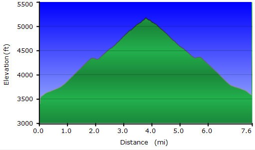
This hike is not really along a trail, but instead up a seldom used road in poor condition. You could drive it if you had a good vehicle (or it would make a good, if steep, bike ride) but it makes a pleasant walk as well.
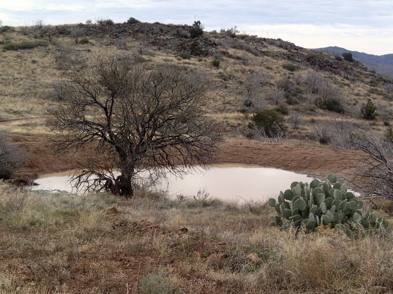
Park anywhere you can find a good pullout along either FR24 or FR562. Start walking up the paved road towards the easily spotted white FAA radar(looks like a big white ball). You'll walk fast, as the road is in good shape for walking but poor shape for driving. You may need to share the road briefly with a car, but for the most part, this road gets very little vehicle traffic. The scenery is high desert, with a few cacti, but mostly sparse grasses.
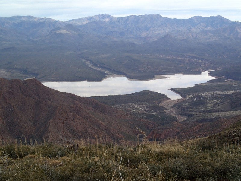
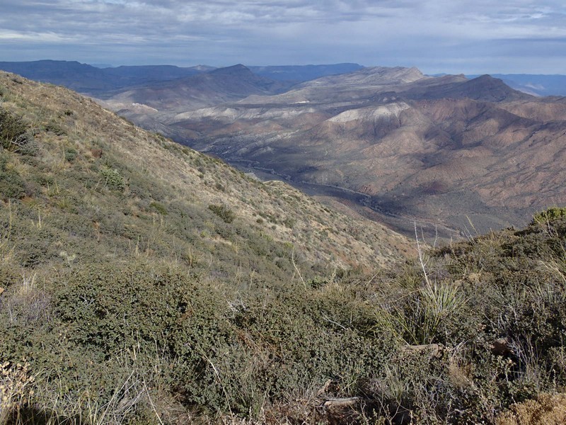
As you climb, you'll get more impressive views of the area. At the top, you'll get very good views of Horseshoe lake and the Verde River valley. The FAA radar station is interesting to view close up and there is also a fire lookout and some cellular towers here.
When ready, return the way you came.
