
- Hikes in Arizona
- Prescott Area
- Lynx lake trail
Lynx lake trail
Location
To get to the trail head: from the Phoenix area, take I-17 North toward Flagstaff. At Cordes Junction, take HWY-69 towards Prescott. Right near the border between Prescott and Prescott valley, turn left onto signed Walker road. Take this paved road 2.2 miles to the signed turn off to Lynx Lake. Turn left and take this short road (Lynx lake store road) a few hundred yards to a parking area. As of August 2016, there is a $1 fee to park here.
Hike details
Season
- May
- June
- July
- August
- January
- February
- December
Solitude
Difficulty
Permits
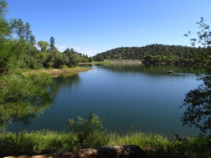
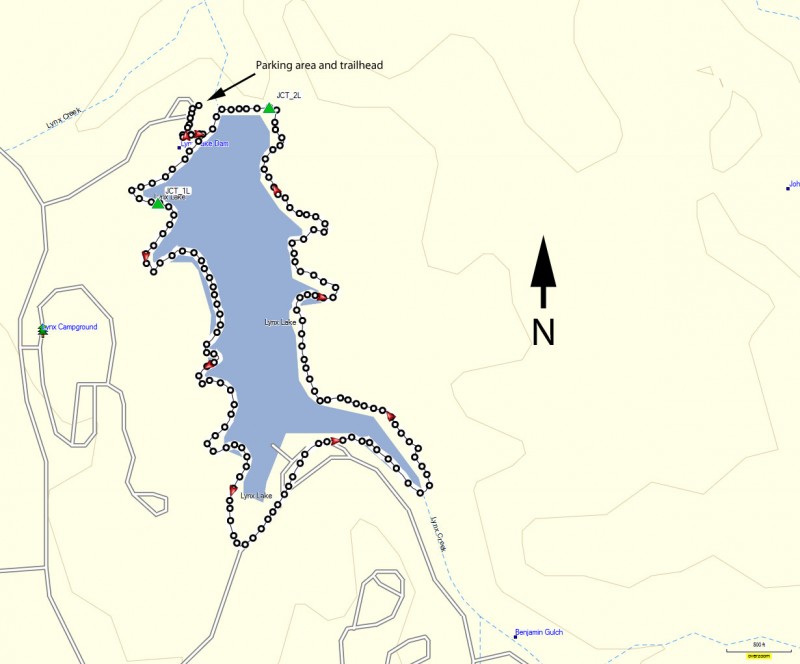
Hike around Lynx lake near Prescott, Arizona.
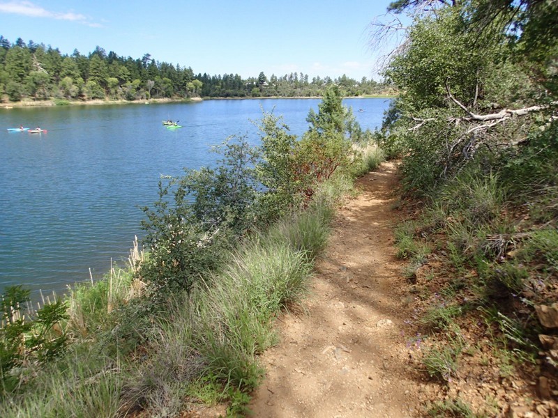
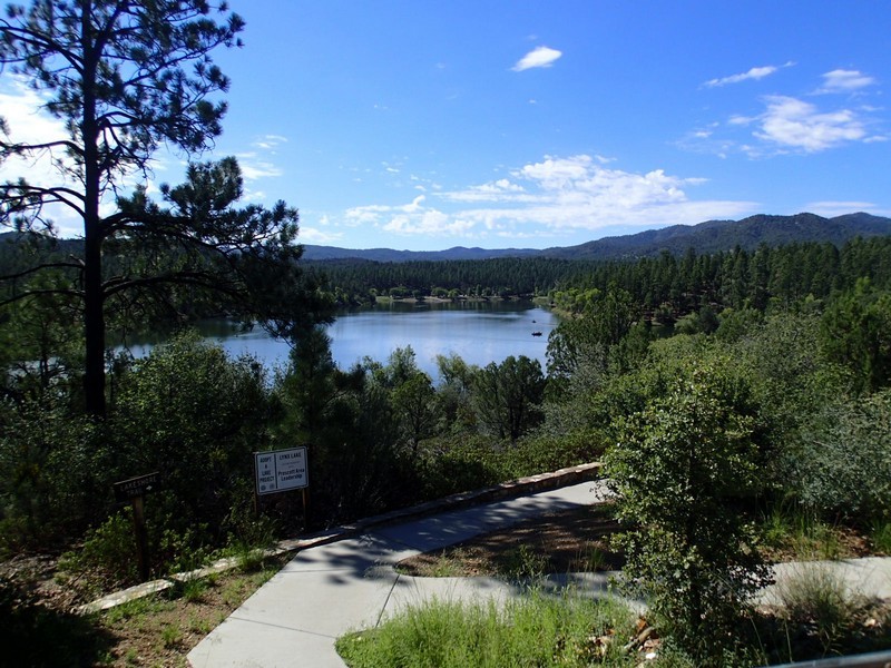
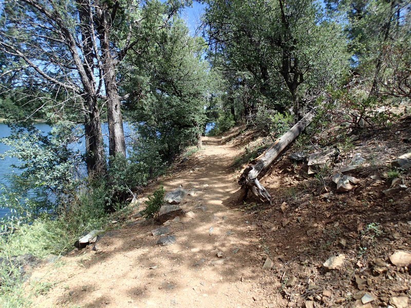
Lynx lake is a lovely forested lake just outside the Prescott area. Popular for fishing and boating, there is also a very nice walking trail that loops around the lake and is worth hiking.
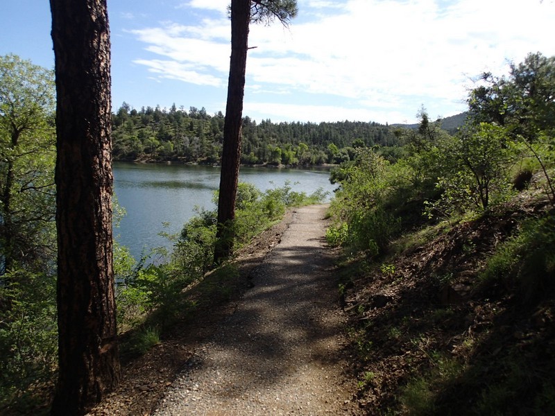
From the parking area (don't forget your $1 parking permit), follow the paved path down to the lake. At the intersection, you can go either way, but we arbitrarily chose to go right (counter clockwise). At both trail junctions (JCT_1L and JCT_2L on the map) stay left to stay on the loop trail around the lake, but honestly, there is no route finding here. The trail sticks close to the lake, is well worn, and is easy to navigate. The trail is also pretty flat, so the 2.4 miles goes quite quickly. It's a pretty area with good shade. The first part of the hike is on a paved path, while the second part turns to a well worn dirt trail. This is a stress free easy hike, so enjoy it!
