
- Hikes in Arizona
- Prescott Area
- Glassford Hill
Glassford Hill


Location
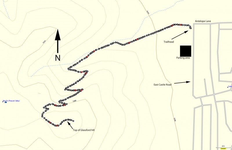
From the Phoenix area, take I-17 to the junction of HWY-69. Turn left onto HWY-69 towards Prescott. Turn right at the intersection with Prescott East Highway. Take this road to Antelope Lane. Turn left here. The trailhead is at the intersection of Antelope lane and Castle drive. Turn left onto Castle drive, the parking area is on the right.
Hike details
Season
- April
- May
- September
- October
- January
- February
- December
Solitude
Difficulty
Hike up Glassford Hill in Prescott, Arizona.
It's very likely you've seen the looming shape of Glassford hill as you drive into the town of Prescott. Like me, I'm sure you've wondered if there was a trail to the top of this hill.
Turns out there is.
Hikers in the area have been off trail hiking to the top of this hill for years. The city of Prescott is finishing up a trail and parking area to allow this hike to enjoy the popularity it deserves (scheduled to open late May 2016).
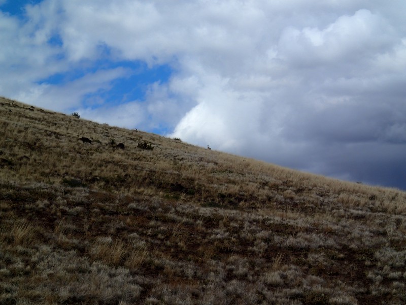
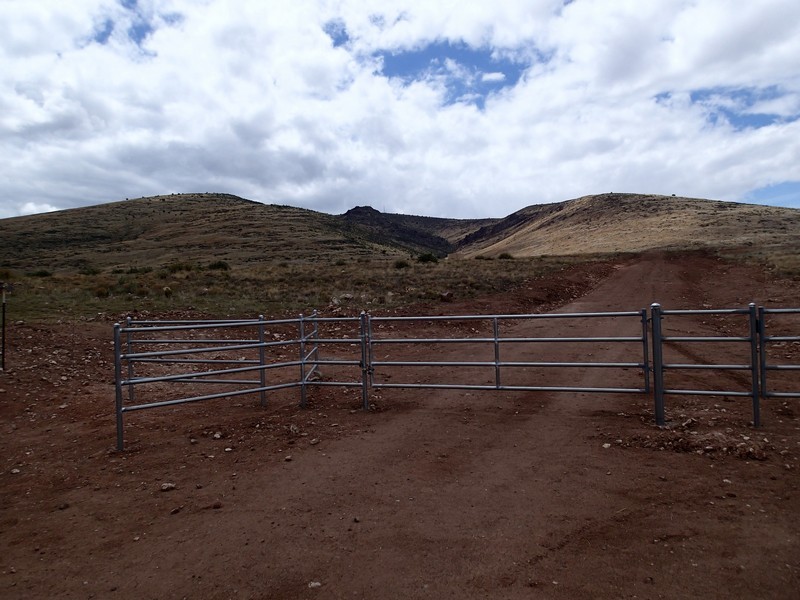
The trail starts from the intersection of East Castle drive and Antelope lane. After going through the gate, take the wide and easy to follow trail towards the hill. This is an excellent place to see the elusive Pronghorn antelope. I was able to spot three of them, but you'll have to have a sharp eye. They do a good job of blending into the grassland.
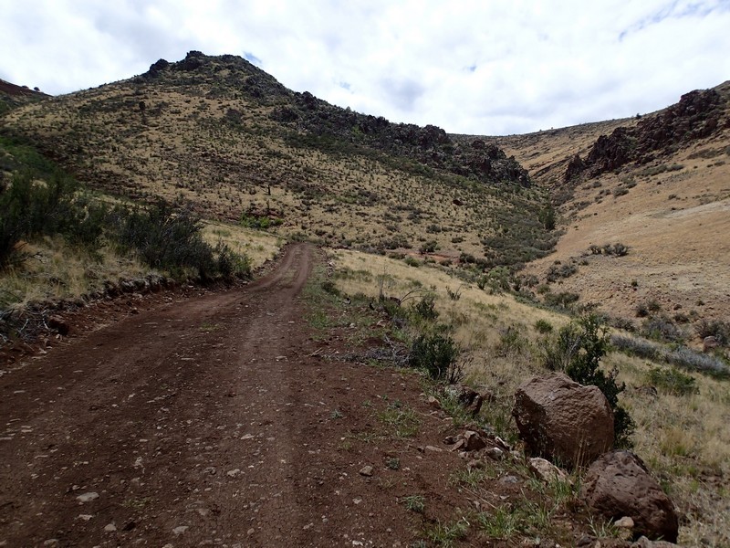
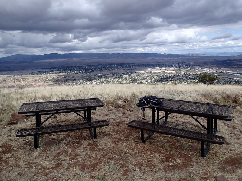
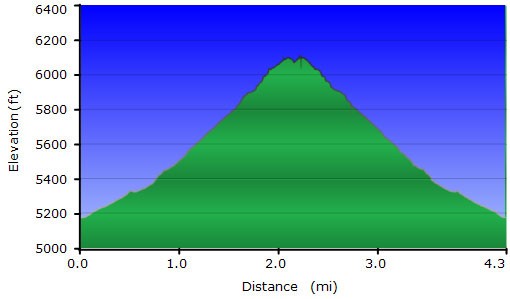
The trail is easy to follow for its entire length as it switchbacks up the hill. A number of picnic tables have been placed along the trail to provide rest stops. After 1000 ft of steady climbing you'll reach a saddle. Turn left here to continue to follow the trail or you can take a spur trail right to some cell and TV towers. Continuing along the trail to the left, you'll reach the top and great views of the surrounding areas.
When ready, return the way you came.
