
- Hikes in Arizona
- Mogollon Rim
- Houston Loop Trail (Payson)
Houston Loop Trail (Payson)


Location
From the Phoenix area, take HWY 87 North towards Payson. Once in Payson, take HWY 260 east toward the town of Star Valley, AZ. 4.3 miles from the turn (and just outside of the town of Star Valley) turn left on signed Mayfield Canyon Road. Quickly stay left here to stay on the correct road (the other road to the right is private). After 0.2 miles, the road turns to well graded dirt. After 0.3 miles, turn left at the signed junction for Houston Loop trail. You can park here or if you have a high clearance vehicle, you can go another 0.2 miles or so (cross the dry creek) to the trail start. Look for the small brown signs that mark the Houston trail.
Hike details
Season
- April
- May
- June
- September
- January
- February
- December
Solitude
Difficulty
Permits
Hiking the Houston Loop trail in Payson, Arizona
The town of Payson has been creating what they call the Payson Area Trail System. These trails are on the outskirts of Payson and Star Valley and are currently open to hikers, mountain bikers, equestrian, and ATVs. Sadly, sharing hiking trails with ATVs is fairly unpleasant, but is currently a necessary evil on this loop trail through the pines North East of town.
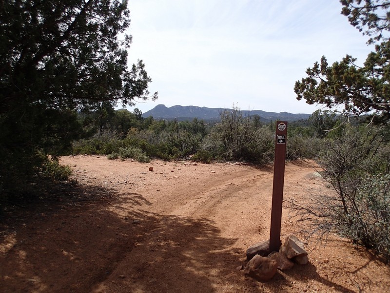
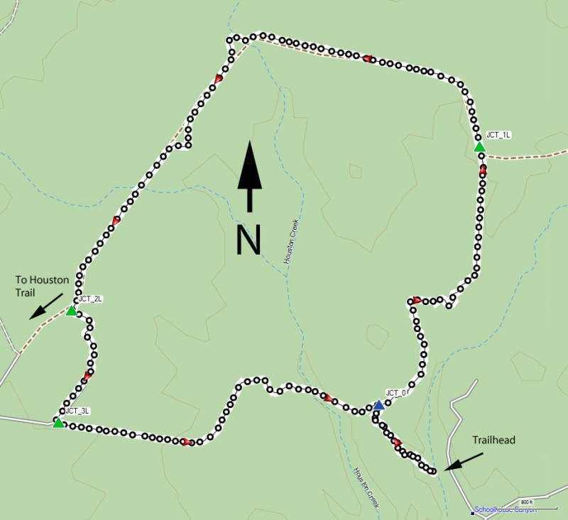
From the trailhead, head along the wide trail/dirt road into the pines. This trail continues along a series of old dirt roads, so it is easy to see but there are many spur trails. Thankfully, all junctions are signed with a brown trail sign, so keep an eye out for these to stay on the correct trail.
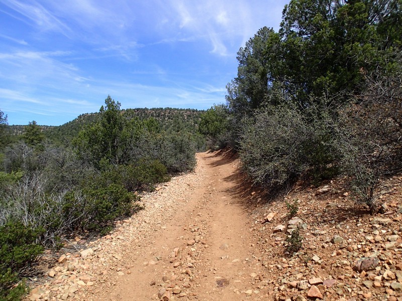
After 0.2 miles of hiking, you'll see the sign for the Houston Loop trail (JCT_0 on the map). We arbitrarily chose counter-clockwise for our hike. To call this a trail is a bit misleading. It's really a narrow dirt road. Follow the trail/road through the pine and scrub oak generally North. After about 0.8 miles from the loop start, you'll reach another trailhead entrance from FR433. Stay left here (JCT_1L on the map) to stay on the Houston Loop trail.
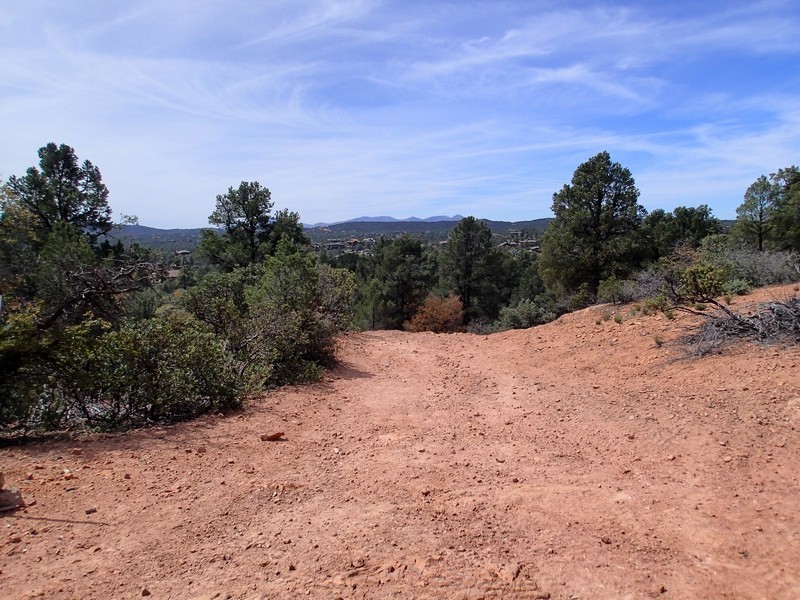
The trail turns west for 0.7 miles then turns south west for 0.9 more miles to the Junction with the Houston Trail (JCT_2L on map). Stay left here at this signed junction to stay on the Houston Loop trail. After 0.3 miles from the last junction, you'll turn left at another trail access point (JCT_3L on the map). Stay left here again and walk the final 0.9 miles to the start of the loop and after turning right at JCT_0, the final 0.2 miles to your car.
