
- Hikes in Arizona
- Mogollon Rim
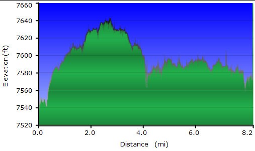
- 235 Road Trail
235 Road Trail


Location
To get to the trailhead: from the Phoenix area, take HWY-87 North toward Payson. Once in Payson, take HWY-260 East towards Heber. About 29 miles from Payson, turn left onto the signed road (FR300) to Woods Canyon Lake. Take this road 0.25 miles and park at the trailhead on your right. There are restrooms at the trailhead, but no water.
Hike details
Season
- June
- July
- August
- January
- February
- December
Solitude
Difficulty
Permits
Hike along the 235 road trail on the Mogollon Rim in Arizona.
The 235 Road trail is primarily meant for bikes, but makes for a good, easy hike out to some great views of Chevelon Canyon.
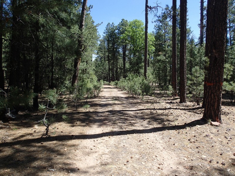
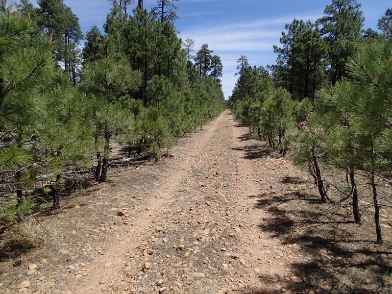
From the parking area, take the signed trail for the 235 road trail. This trail is flat and easy to follow, as it is a closed forest road. After 0.8 miles of hiking, you'll reach the only trail junction (signed) on the hike (JCT_1L on the map). Stay left here to stay on the trail to Chevelon Canyon.
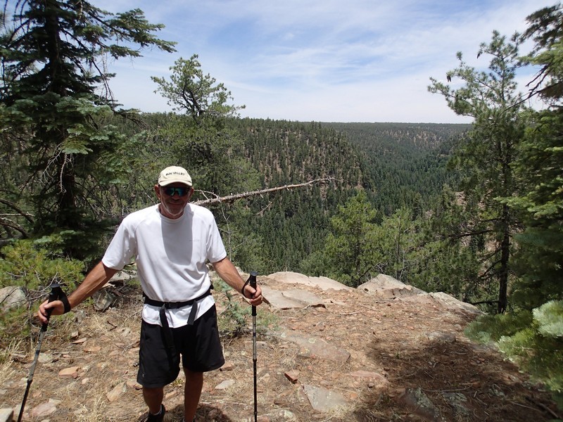
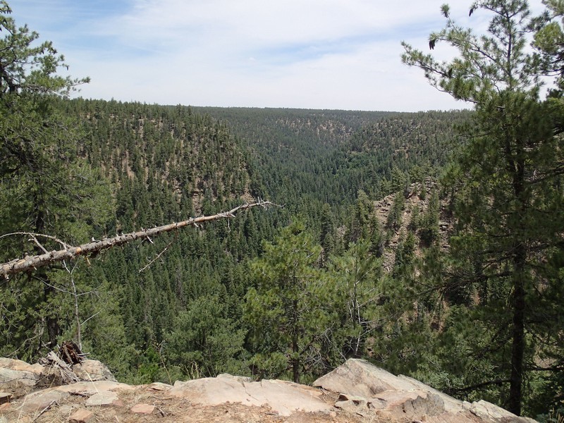
The road is lined with pine trees and provides some shade in spots, but is mostly sunny. It's easy, fast walking to the views. The trail dead ends at a convergence of several canyons. To your left is Woods Canyon. To the right is Willow Springs Canyon. Straight ahead is Chevelon canyon. This is an excellent place to stop and eat lunch.
Keep your eye out for wildlife here. We surprised two large Elk during our hike.
When ready, return the way you came.
