
- Hikes in Arizona
- Phoenix Area and Central Arizona
- Lost Dog Wash Trail
Lost Dog Wash Trail


Location
From the Phoenix area, take state HWY-101 North to the Shea Boulevard exit. Take Shea Blvd East (right) until you reach the intersection of Via Linda. Turn left onto Via Linda. Take Via Linda to 124th street. Turn left onto 124th street and the signed Lost Dog Wash trailhead. Drive the short (perhaps 0.4 miles) distance to the end of the road and large signed trailhead parking area. There is water and restrooms here.
Hike details
Season
- January
- February
- March
- April
- October
- November
- December
Solitude
Difficulty
Permits
Hike the Lost Dog Wash trail in Phoenix Arizona.
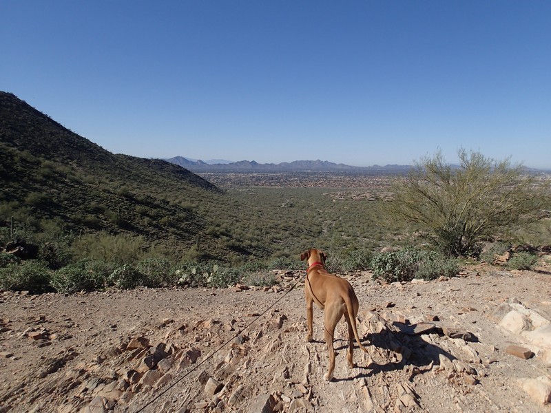
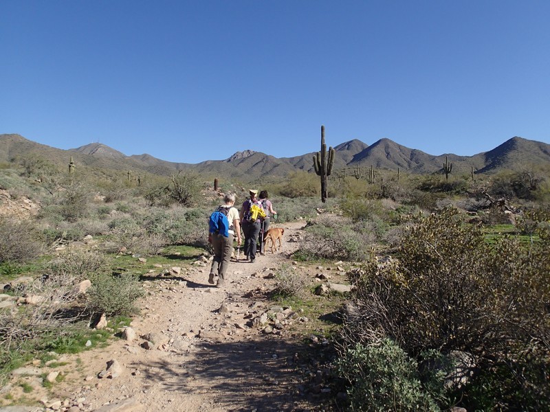
This hike is located in the McDowell Mountain preserve area and features an easy to follow trail with clearly signed trail junctions through the Sonoran Desert.
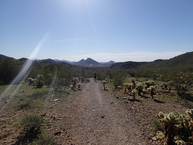
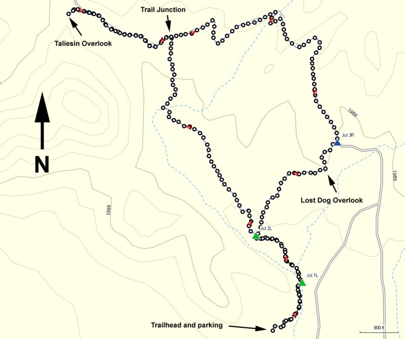
From the parking area, head north towards the building. There is a restroom and water fountain here, but you should still bring your own water while hiking. The well signed (Lost Dog Wash trail) and easy to follow trail starts North from this building. After the first 0.2 miles of hiking, there is a signed trail junction with the Sunrise Trail. Stay left here (JCT 1L on the Map). After another 0.3 miles of hiking, you'll reach the signed trail junction with the Ringtail Trail. This will be our return route, so stay left here (Jct 2L on the map). The trail gently increases in elevation as you walk through a typical sonoran desert, complete with Saguaro, Barrel, and Cholla cactus. The trail leaves the sights of the city behind as to your right you have unobstructed views of the McDowell mountains. After 1.5 miles of total hiking you will reach another signed trail junction. If you want to make this hike a bit longer (like we did) turn left here and hike the 0.5 miles to the Taliesin Overlook. This overlook gives a very nice view of the North Scottsdale area, including Taliesin West, once winter home of Frank Lloyd Wright (and worth visiting if you get a chance). Backtrack the 0.5 miles to the junction and this time continue East (stay left at the junction).
After 1.4 miles of hiking from the previous trail junction, you'll reach the signed junction with the Ringtail trail. Turn right here (JCT 3R on the map) and briefly climb 0.2 miles to the Lost Dog Overlook. This overlook isn't as impressive as Taliesin Overlook, but it still gives a nice view. Continue another 0.5 miles to the junction with the Lost Dog Wash Trail (Jct 1L) and turn left here to walk the 0.5 miles back to the trailhead and parking area.
There are a few mountain bikers that enjoy this trail, so be on the lookout for them. Also, this is a very popular trail for dogs, so if you enjoy hiking with dogs, you will enjoy this hike.
For more information about the McDowell Sonoran Preserve, follow this link to the City of Scottsdale website with details about the preserve.
