
- Hikes in Arizona
- Grand Canyon / Marble Canyon
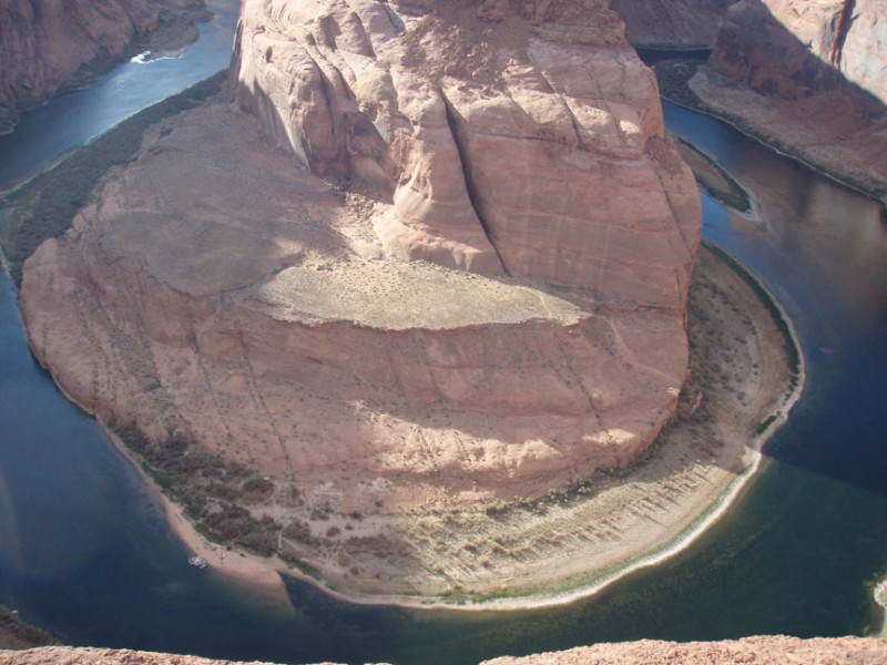
- Horseshoe Bend
Horseshoe Bend
Updated


Location
How to Get There
This hike is located in the North East corner of Arizona, near the town of Page, AZ.
From Flagstaff, take US Highway 89 toward Page, AZ. About 2.5 miles before you reach Page you'll see a signed trailhead for the "Horseshoe Bend Trail". Turn here and drive the few hundred yards to a dirt parking area.
From Flagstaff, take US Highway 89 toward Page, AZ. About 2.5 miles before you reach Page you'll see a signed trailhead for the "Horseshoe Bend Trail". Turn here and drive the few hundred yards to a dirt parking area.
city
Page
state
AZ
country
USA
Region
Grand Canyon and Marble Canyon area
Hike details
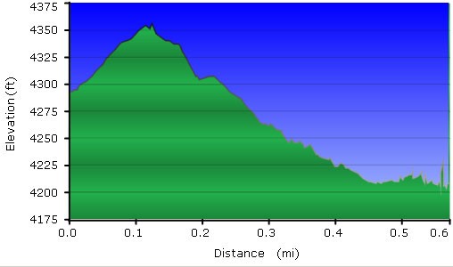
Distance
1.20 [Miles] Total
Hike Distance- Details
1.2 miles round trip
Time
0.50 [Hours]
Time-details
It took us a half hour to the edge and back.
Elevation Change
0 Total gain/loss [Feet]
Elevation Loss
0 Total Elevation Loss[Feet]
Elevation Gain
0 Total Elevation Gain [Feet]
Elevation Details
nothing to speak of
Hike Trail Type
Out and Back
Season
Best Season
- March
- April
- September
- October
- November
Worst Season
- June
- July
- August
Date Hike completed
October 25, 2012
Solitude
Solitude
Low
Solitude Details
This is a very popular hike. Don't expect any solitude here.
Difficulty
difficulty detail
This is an easy hike to a great view. Well worth the 30 minutes to hike it.
Permits
Be Aware of
Be Aware of: Watch your step near the edge of the canyon!
Hike to Horseshoe bend in Marble canyon near Page, Arizona.
This short hike is a good way to stretch your legs after the long drive from Flagstaff. The trail is easy to follow and the reward for this short hike is a spectacular view of a giant bend the Colorado river makes through Marble Canyon. The birds eye view is impressive and you can get as close to the edge as you dare.
