
- Hikes in Arizona
- Northern Arizona
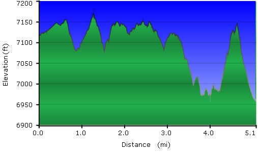
- Pipeline Trail
Pipeline Trail


Location
From the Flagstaff area, head to downtown Flagstaff. Turn North (towards the peaks) on San Francisco street. When you reach Forest Ave, turn right. Then when you see Gemini Road, turn left and park at the end of the road. There will be a statue of a Buffalo, but no restrooms or water.
If doing this hike as a one way with shuttle, drop a car at the Elden Lookout trail. From the Flagstaff area, take HWY 89 towards Page, AZ. After you pass the junction for HWY-66 and I-40, and after you pass the Flagstaff mall, McDonalds, and Safeway on your right, check your left for the sign for the Mount Elden Trailhead.
Hike details
Season
- August
- September
- October
Solitude
Difficulty
Permits
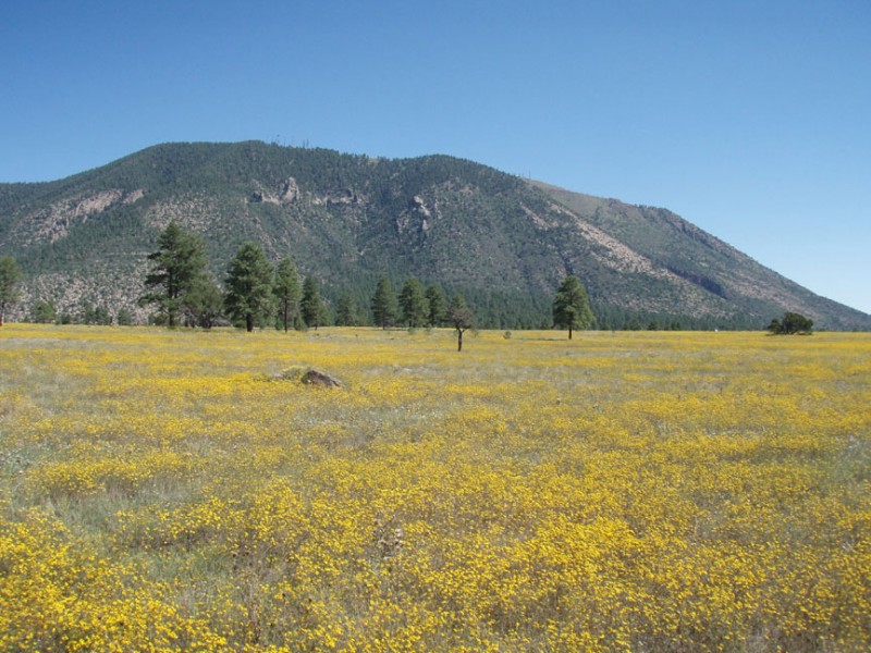
Hike the pipeline trail at the base of Mount Elden in Flagstaff, Arizona.
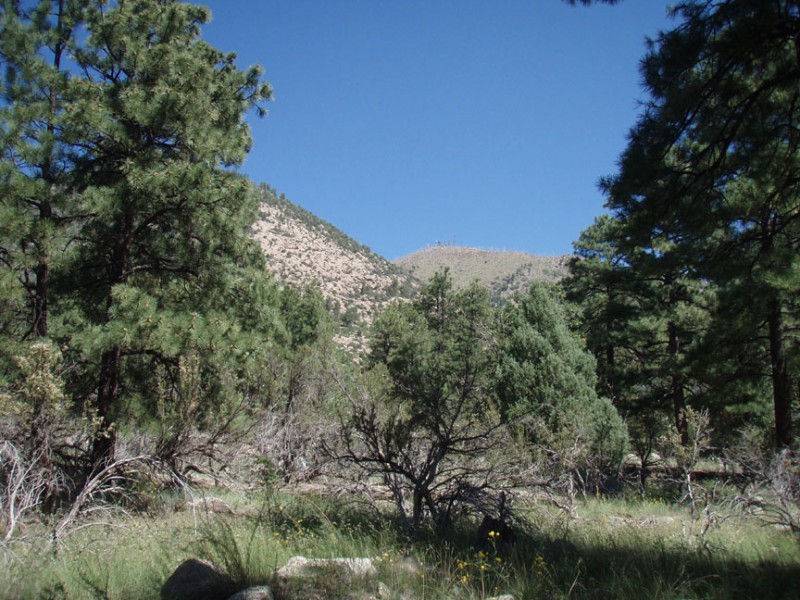
Although this is an easy hike through a pine forest at the base of Mount Elden, the route finding can be a bit tricky. Even with a GPS I got off trail a few times. So you'll need those route finding skills.
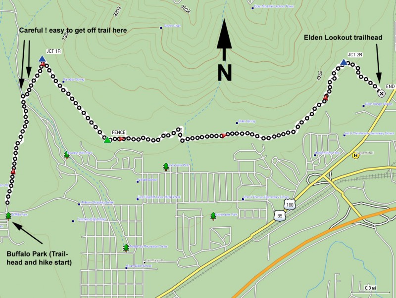
First thing to do is decide if you want to do this as a one way hike with a shuttle. If so, drop a car at the Mount Elden Trailhead. Otherwise, plan on doubling your mileage as you backtrack to the car.
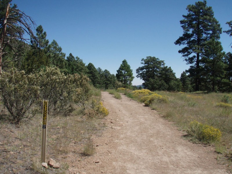
From the Buffalo (read the plaque underneath for a history of this area) head straight towards the mountains on the wide crushed cinder trail. This wide open meadow is administered as a city park and is quite popular with the locals looking for some quick exercise close to town. After crossing the park, you'll reach the start of the National Forest, which is well signed and has a trail register. After signing the register, continue along this easy to follow trail into the more dense forest. There are several criss crossing and unsigned trails in this area and it's easy to take a wrong turn.My advise is if you reach an unsigned trail junction, go straight. Hopefully with my advice you'll reach a defined trail junction signed for the Pipeline trail (Jct 1R on the map, about 1.2 miles from the start). Turn Right here onto the wide road and open path through the forest.
From here, the trail abruptly heads South East (it was going North) as it follows a buried pipeline. The trees are cleared away, so stay on the trail through the wide open meadow. There are spur trails all through this area, but remember my advise earlier. At any unsigned junction, go straight. After you reach a fence (about 0.8 miles from the last trail junction), the trail narrows again and heads back into the forest. As you walk, to your right you will see some of the houses of Flagstaff through the trees, while on your left you enjoy good views of Mount Elden. Continue on the trail as it heads East along the base of Mount Elden. You'll pass trailheads for Elden Springs and other nature trails as you continue East. There are also spur trails that head into housing developments to your right. Again, keep going straight through any unsigned trail junction. Eventually, you'll reach the signed trail junction for the Fat Man's pass trail and Mount Elden trail (Jct 2R on the map). Turn right here and walk the short 0.4 miles to your waiting shuttle vehicle.
Watch out for mountain bikers, as this relatively flat trail is very popular with them. Enjoy!
