
- Hikes in Arizona
- Phoenix Area and Central Arizona
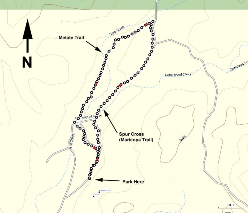
- Metate-Spur Cross Loop (Spur Cross)
Metate-Spur Cross Loop (Spur Cross)

Location
To get to the trailhead: from the Phoenix/Mesa area, take I-17 North to the Carefree Hwy exit. Take the Carefree Highway East about 8.5 miles to Cave Creek Road. Turn left onto Cave Creek Road and drive about 2.7 miles to Spur Cross road. Drive North on Spur Cross road about 4.5 miles, with the last 1.5 miles being graded dirt road. The dirt road is in very good shape and is OK for passenger cars. As of March, 2012, there is a $3 fee to enter the conservation area. There are restrooms at the trailhead, but no water.
Hike details
Season
- January
- February
- March
- April
- October
- November
- December
- July
- August
Solitude
Difficulty
Permits
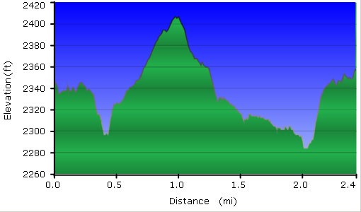
Hike the Metate Spur Cross loop in Spur Cross, Arizona.
The Spur Cross Ranch Conservation area is one of the newer members of the Maricopa County Park system. The conservation area borders the Tonto National forest to the North and provides an accessible area for hikers to enjoy this still pristine desert. The parking area is a few hundred yards away from the actual trailhead and restrooms.
There are several trails in this area. One short, easy, and enjoyable walk is the Spur Cross (Maricopa Trail) to Metate Trail loop.
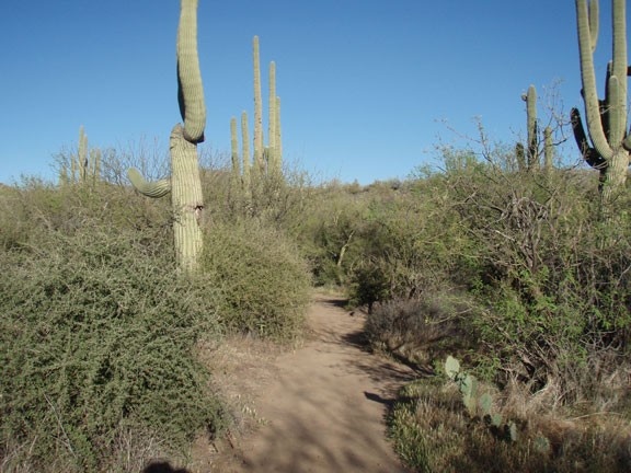
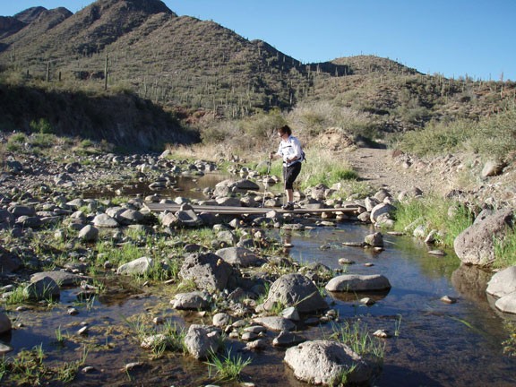
This trail starts out on the Spur Cross (Maricopa Trail) by following the right fork at the restrooms. This section of the hike is easily followed as you walk along an old jeep road through the Sonoran Desert. After about 1.1 miles of hiking, you'll reach the signed junction for the Metate trail. Make a left here and go through the open fence. If you cross the creek you've missed the turn and gone too far.
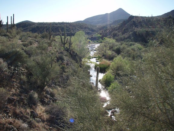
This easy to follow section of trail backtracks much closer to Cave Creek, which is frequently flowing with a little water. There are some impressive Saguaro here and the trail is a bit more secluded and scenic. You'll pass some evidence of old homesteading in the area as well as crossing the creek two more times before reaching the parking area and the start of the hike.
