
- Hikes in Arizona
- Sedona
- Long Canyon
Long Canyon

Location
To get to the trailhead: from the Phoenix area, take I-17 North toward Flagstaff. Just after Verde Junction, take HWY-179 west towards Sedona. Once in Sedona, take HWY-89A South. After 3.1 miles, turn right onto Dry Creek Road. After 3 miles, turn right onto Long Canyon road (FR152D). About 0.6 miles from this junction you'll see a small parking area on your left and a sign marking the Long Canyon Trailhead. You will need a Red Rock Pass to park ($5 per car as of March 2009).
Hike details
Season
- April
- May
- October
- November
Solitude
Difficulty
Permits
Hike in Long Canyon near Sedona, Arizona.
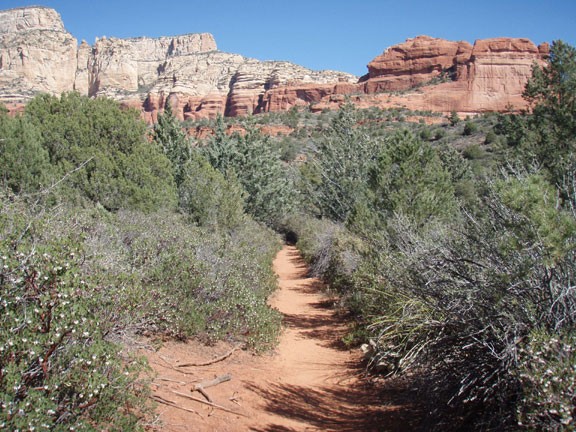
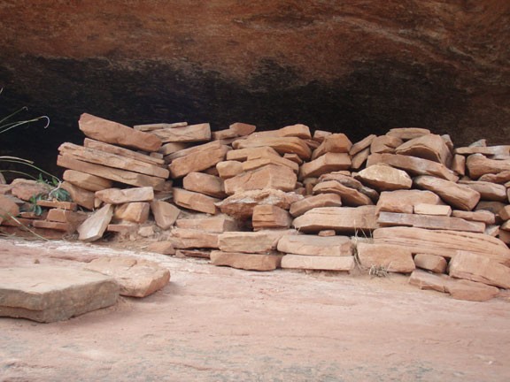
Long Canyon is an easily accessed example of a typical Sedona redwall canyon with a clear trail throughout most of it's length. From the trailhead, the trail starts as an easy to follow old jeep road. About 0.6 miles from the start, you'll reach an old barb wire fence and a sign clearly marking the Long Canyon trail. There is another trail here that heads to the left. If you would like to explore some possible native American ruins, follow this trail for it's short length up Mescal Mountain to some rock walls. The rock walls didn't look authentic to me, but I may be wrong. There is no questioning the great view from this location.
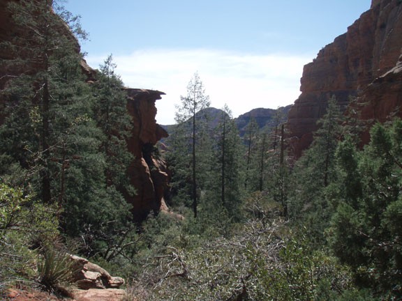
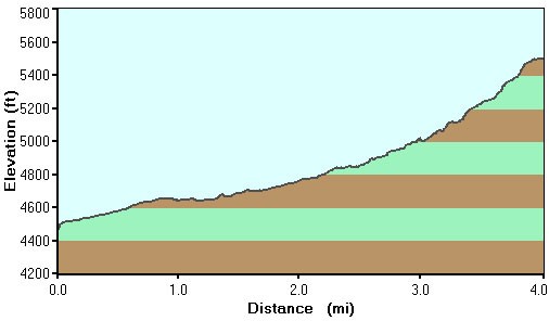
Back to the main trail, you'll reach the trail junction for Deadman's pass after about 1 mile of hiking from the trailhead start (shown on the map as Jct 1). Stay right here at the signed junction to continue up Long Canyon. From this point, the scenery changes from desert style scrub to more pine trees and shade. The canyon walls start to close in as well, changing the dynamic of the hike. The canyon walls peak through the trees, tempting you to explore.
After about 4 miles of this fun, the trail starts to get difficult to follow and much more steep and rocky. Soon, the trail kind of peters out all together just before reaching the end of the canyon. Further exploration up canyon would be a serious bushwhack, so find a nice place to sit for a snack and head back the way you came when you're ready.
