
- Hikes in Arizona
- White Mountains and Eastern Arizona
- Timber Mesa Trail #636
Timber Mesa Trail #636

Location
To the Trailhead: From the Pinetop-Lakeside area, head on HWY-260 south towards the Lakeside Ranger station. Just past the ranger station, turn left on signed Porter Mountain Road (FR45). Take this paved road for 2.2 miles and look for a signed dirt road to the Timber Mesa Trail #636 that goes off to the left. A short drive ends at the trailhead and parking area.
Hike details
Season
- June
- July
- August
- January
- February
- December
Solitude
Difficulty
Permits
Hike the Timber Mesa trail in Eastern Arizona.
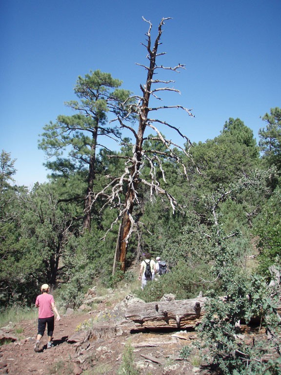
From the signed trailhead, take the easy to follow trail (not the road) climbing gently up the mesa. After about 0.4 miles, you'll reach a fork. You can take this loop hike in either direction, but we chose clockwise, so the hike write up reflects this.
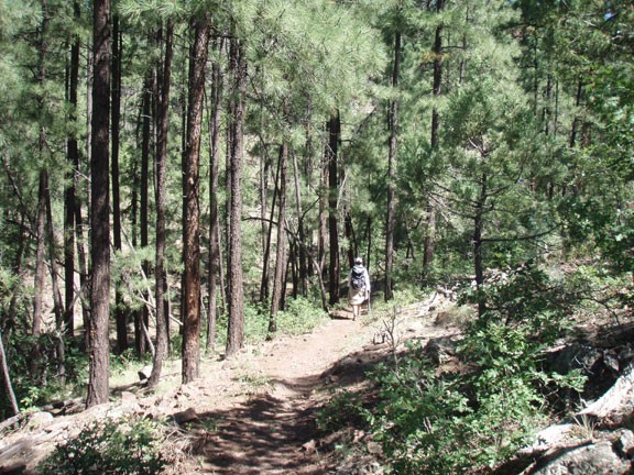
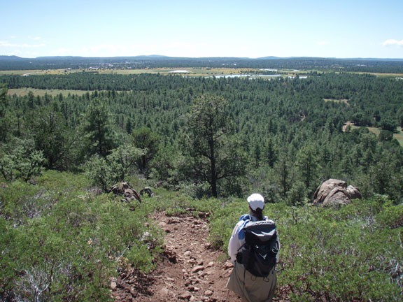
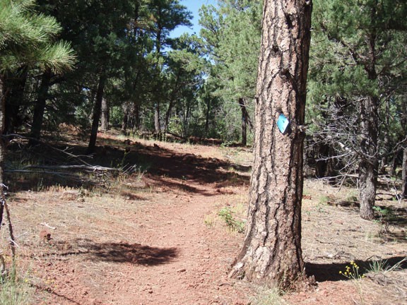
This section of the trail hugs the West ridgeline of the mesa, providing periodic unhindered views of the Pinetop-Lakeside area lakes and forest. The trail is easy to follow. To stay on this loop hike, follow the pine trees with the blue diamond markers. All major trail junctions are signed to help you stay on the loop.
After 3.1 total miles of hiking, you'll begin to leave the ridge and head deeper into the pine forest. Although you are losing the views, you'll gain some heavier shade for the remainder of the hike. After 3.6 miles of hiking, you'll reach the signed junction with the Sawmill trail (JCT 1R on map). Stay right to continue on the Timber Mesa trail.
After 5.6 miles of hiking, you'll reach the signed junction with the Flume trail (JCT 2R on map). Stay right again to continue on the loop hike. From this point it is 0.8 miles of hiking to the point where the loop starts and a final 0.4 miles back to the trailhead parking.
Keep an eye out for elk on this trail. We spotted at least six of them during this hike. The most impressive was a huge male that we could hear before we spotted. It sounded like a car crashing through the trees... he was definitely not trying to sneak up on us!
