
- Hikes in Arizona
- Tucson Area and Southern Arizona
- Mount Lemmon Trail
Mount Lemmon Trail
Location
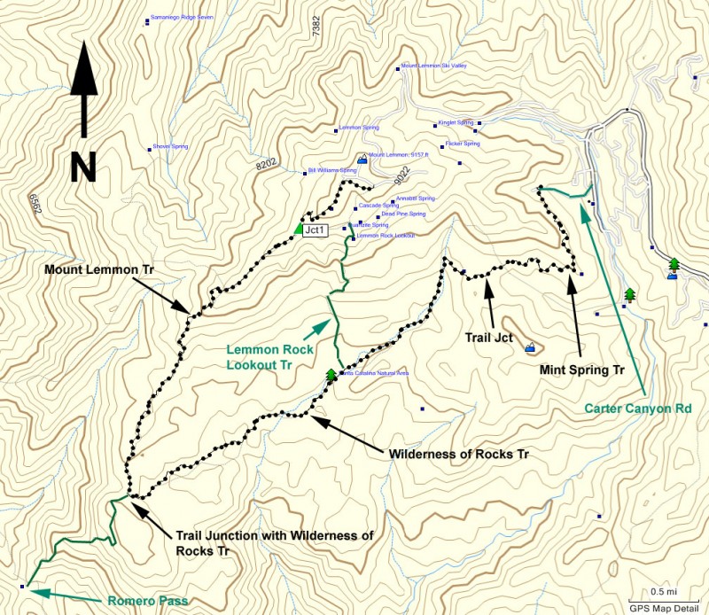
To get to the Trailhead: From the Tucson area, drive the Tanque Verde road east. Turn left onto the Catalina Highway. After paying the $5 parking fee, take this road all the way to the top of Mount Lemmon. At the fork between the ski area and the town of Summerhaven, turn right to go the ski area. After about 3.1 miles, you'll see the signed trail junction parking for the Mount Lemmon trail.
Hike details
Season
- June
- July
- August
- January
- February
- December
Solitude
Difficulty
Hike the Mount Lemmon trail on the Mount Lemmon sky island near Tuscon, Arizona.
I'm jealous of the folks living in Tucson.
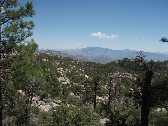
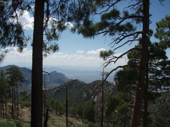
For those of us living in the Phoenix area, the summertime means we need to take the 1.5+ hour drive north to cooler hiking areas like Prescott, Payson, or Flagstaff. Just recently, I took my first trip to Mount Lemmon, located just north of the Tucson area. At 9300 ft, Mount Lemmon holds many enjoyable hikes a relatively short drive from the Tucson area. A really nice hike that exposes you to the joys of this area is the Mount Lemmon trail.
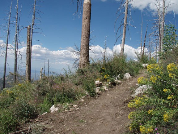
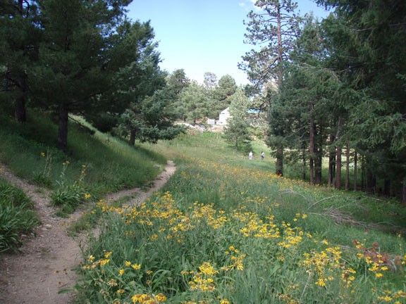
From the parking area, start walking down the closed road along the ridge of Mount Lemon. After about 0.8 miles of hiking through this pine forest with wildflowers along the trail, you'll reach a trail junction (Jct 1 on map). Stay right at this signed junction and continue to follow the Mount Lemmon trail as it continues down the mountain.
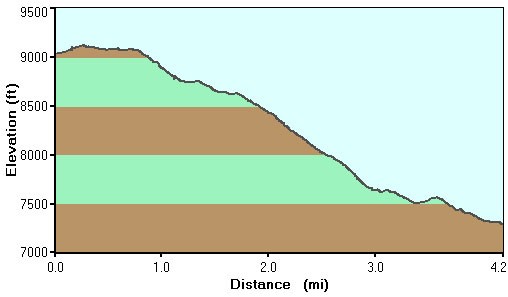
The trail is easy to follow and there are a multitude of views that open up through the pine forest. The trail descends along a ridgeline a total of 4.2 miles to the junction with the Wilderness of Rock trail. You can continue another 3 miles along the Mount Lemmon trail to Romero pass, but for our hike, we turned around here.
