
- Hikes in Arizona
- Phoenix Area and Central Arizona
- Daisy Mountain
Daisy Mountain
Location
From the Phoenix area, take I-17 North to the Anthem Way exit. Turn right onto Anthem Way and drive about 0.2 miles to the traffic light at Navigation Way. Turn left onto Navigation Way and drive about 0.6 miles. The access to the trail is on the left, in between some houses and at the intersection of Navigation Way and Livingston Way. Trail access is nestled in a neighborhood, so please minimize your impact by being respectful to private property and parking appropriately. Please obey all no parking signs in the area. Your positive actions will go a long way in making sure hikers have access to this area.
Hike details
Season
- January
- February
- March
- April
- May
- October
- November
- December
- July
- August
Solitude
Difficulty
Permits
Hike up to the top of Daisy mountain near Anthem, Arizona.
Note: This hiking area is currently on state trust land. Please get a state trust land permit before hiking here.
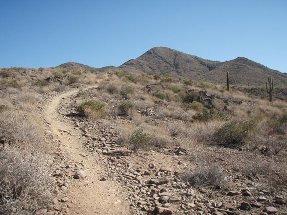
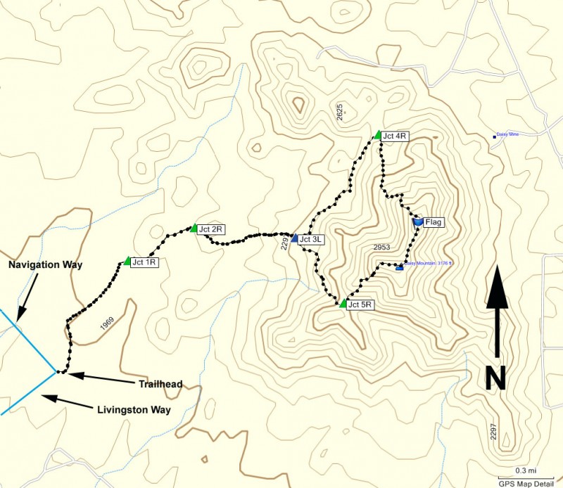
Just when we thought we had hiked all the trails in the Phoenix area, someone let us know about this gem of a hike. From the growing neighborhood community of Anthem, follow the old dirt road towards the ridges of Daisy mountain in the distance. There are a number of trails (all unsigned) in this area, so some route finding is needed. To stay on the correct trail, use the map and follow the below instructions.
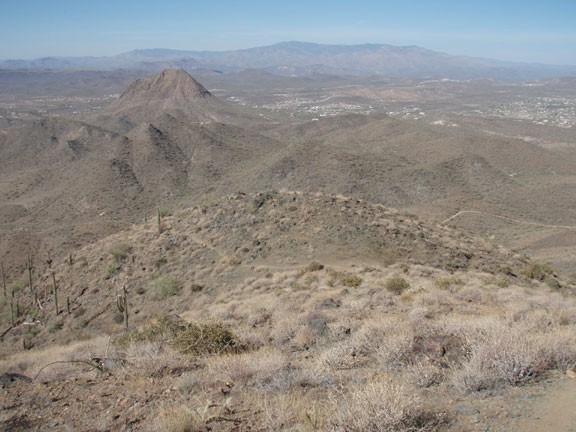
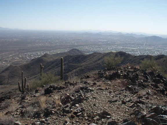
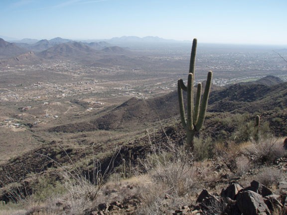
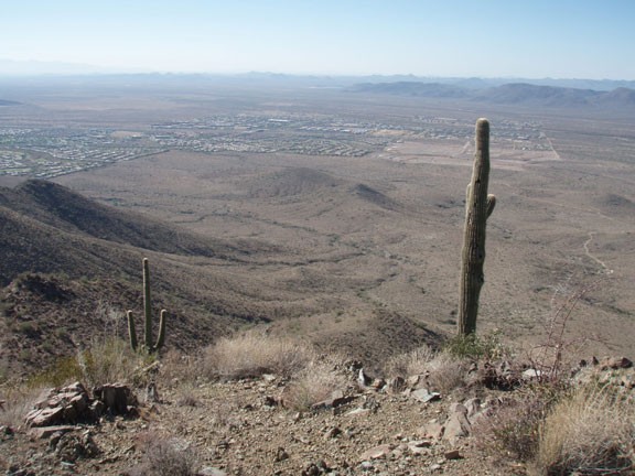
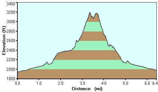
The trail follows a typical Sonoran desert environment, with a good assortment of Saguaro, Barrel, and Cholla cactus. The trail is wide and easy to follow during this section. After hiking for about 0.8 miles, stay right at the fork (JCT 1R on the map). Hiking 1.2 miles gets you to another trail junction (JCT 2R on the map) where you will stay right again. Here the trail heads more directly towards Daisy Mountain. After 1.7 miles of hiking, you'll reach an obvious fork in the trail (JCT 3L on the map). You can go either right or left here to take the loop. We arbitrarily chose the left fork, as the trail was more defined in this direction. From this point, the trail narrows significantly, but is still easy to follow. After 2.4 miles of hiking, you'll reach a four way intersection (JCT 4R on the map) with some old dirt roads. Take the dirt road on the right, that heads steeply up the nearby hill. At the top of this hill, you'll be able to see the American Flag at the top of the mountain... this is the direction you will be climbing towards. Continue on this trail as you head up along the ridgeline that makes up Daisy Mountain. The climbing starts in earnest here and you'll feel like you earned the great views to come. After 3.0 miles, you'll reach the first peak with great views of the communities of Anthem and New River. There is a proud American Flag here, along with a trail register notebook in a jar. This is a nice spot to take a quick break, snap a few pictures, and enjoy the scenery.
When ready, continue generally South towards the next peak (Daisy Mountain). The trail gets more faint here. If you're confused about where the trail heads, look along the ridgeline and keep an eye out for cairns. Hiking along the ridgeline is very enjoyable, with great views to either side. After 3.7 miles of hiking, you'll stay right at the trail junction (JCT 5R on the map). This section of trail descends steeply and is cut out of the side of the mountain. Hiking 4.1 miles will get you back to JCT 3L, where you will turn left and hike the remaining distance back to the start.
Hopefully you enjoyed this hike as much as we did. If you are interested in making sure this land is preserved as a park for future generations to enjoy, the Friends of Daisy Mountain Trails organization is working to that goal and they would welcome your support.
Special thanks to Marc P. for letting us know about this one.
