
- Hikes in Arizona
- Mogollon Rim
- Drew Trail #291
Drew Trail #291


Location
From the Phoenix area, take HWY 87 North towards Payson. Once in Payson, take HWY 260 east toward the town of Christopher Creek, AZ (about 22 miles from Payson). The town is a little off the HWY-260, so follow the signs for the turn off. Once in the town of Christopher Creek, turn left on the signed FR 284. Take this good dirt road about 1.5 miles to the parking area. You can park at the signed trailhead (Right side of the road), but there is not much parking here. A few hundred feet up the road is a large parking area. Consider parking here and taking the short walk down the road to the trailhead.
Hike details
Season
Solitude
Difficulty
Permits
Hike the Drew trail on the Mogollon rim, Arizona.
The Drew trail was a hidden gem for us. We've hiked the nearby See Canyon trail and enjoyed it, but we liked this one even more. Both the Highline trail and the Drew trail can entertain mountain bikers on occasion, so be aware.
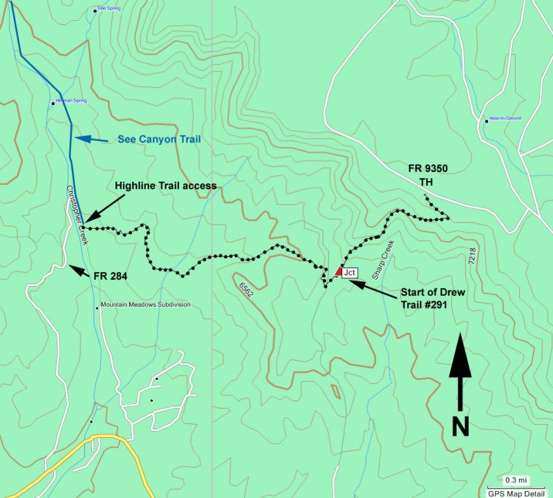
There is some route finding at the start in order to make sure you are on the Highline trail instead of the See Canyon trail. The See Canyon trail goes generally North as it follows along the east side of Christopher creek. The Highline trail goes generally East from here. As you drive up FR284, you'll see the trailhead for See Canyon on your right. After you park, head back to this point to start the hike. There will be a temptation just to cross Christopher Creek anywhere to pick up the trail. However, if you do this, you may end up on the See Canyon trail instead (like we did). If you start at the trailhead, you can follow the signs to the East traveling and signed junction for the Highline trail.
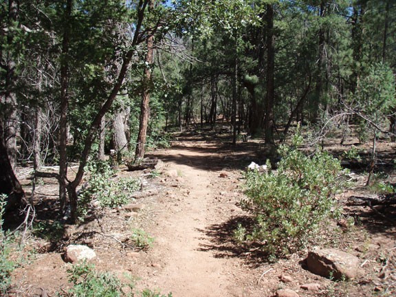
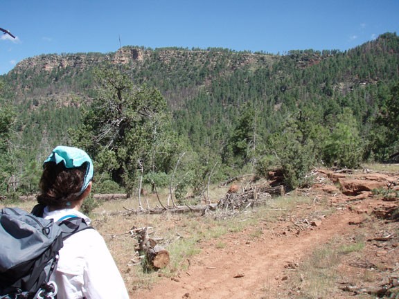
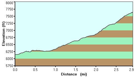
To get to the Drew trail, you'll hike through the pine forest about two miles to the trail junction. This section alternates between good shade and a more open meadow, the result of some recent burns. The trail is easy to follow all the way to the junction with the Drew trail. After going through a opening in a fence, there will be a sign pointing to the rim. This is the Drew trail. From here, you'll gain elevation more quickly and begin to enjoy the periodic views of the surrounding forest as you near the top of the Mogollon rim. Your hard work will pay off after about a mile of hiking, as you emerge onto the Mogollon rim at FR 9350. There are some good views if you walk along the rim, as well as some lovely places to sit down and enjoy lunch with a view.
After you've finished your lunch and taken a few pictures, return the way you came.
