
- Hikes in Arizona
- Grand Canyon / Marble Canyon
- Grandview Trail to Horseshoe Mesa
Grandview Trail to Horseshoe Mesa

Location
From Flagstaff, take HWY 180 north towards the Grand Canyon. Once you enter the park, you'll head east on the East Rim Drive (Yaki point turnoff). About 9 miles on the East Rim Drive will get you to the Grandview Point. The parking area is a little less than a mile drive away. There are restrooms here, but no water.
Hike details
Season
- February
- March
- April
- September
- October
- June
- July
- August
Solitude
Difficulty
Kids in good shape can make this hike with adult experience and supervision.
Permits
SPECIAL CONSIDERATIONS FOR WINTER AND SUMMER TIMES:
, For Winter Hiking: Remember that the South Rim is damned cold in the winter. Snow and Ice will cover the trail for the first few miles. Crampons recommended.
, For Summer Hiking: Get an early start and don't hike during the heat of the day. Remember that the bottom of the canyon will be MUCH hotter than the top.
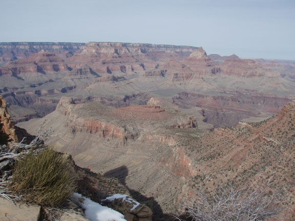
Hike the Grandview trail to Horseshoe Mesa in Grand Canyon National Park, Arizona.
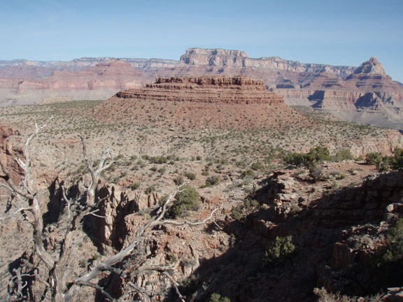
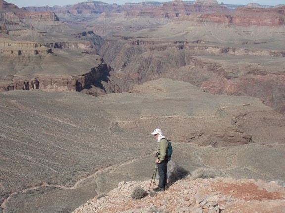
This is a well maintained trail in the Grand Canyon. Unlike most Grand Canyon hikes with a lot of elevation change, it does not get all the way to the Colorado River. As always when hiking the Grand Canyon, the views are amazing. Bring a camera for some good inner canyon pictures.
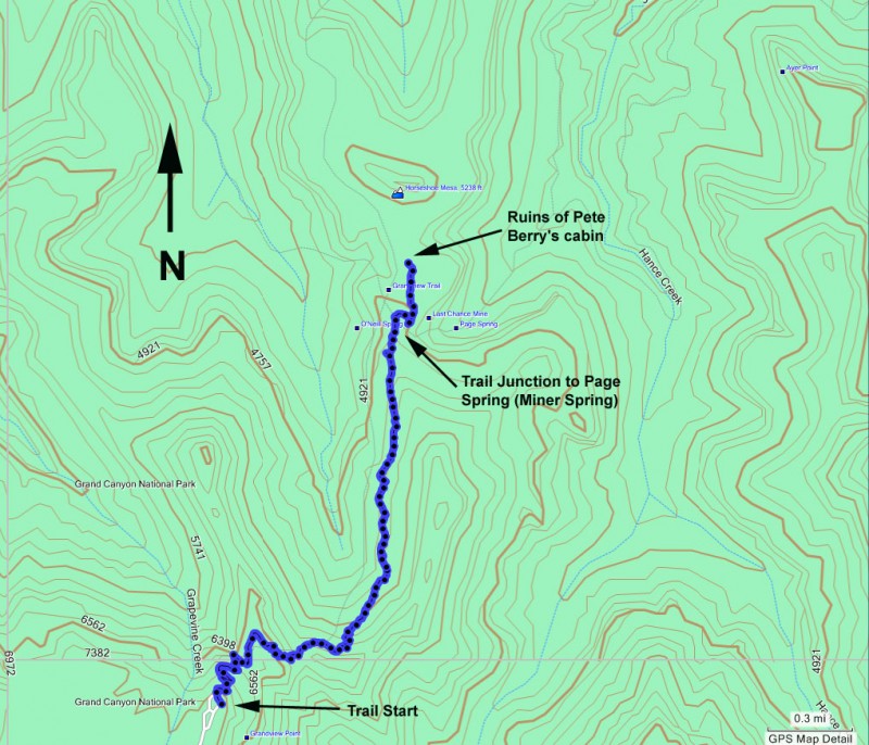
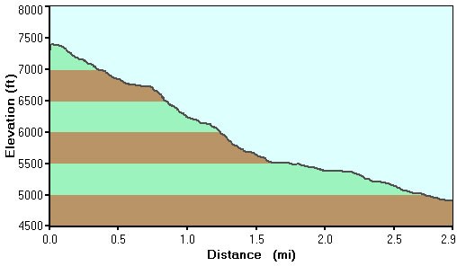
This trail is steep most of the way. It starts at the Grandview Point. Look for the Grandview trail marker. This trail was reconstructed by an old miner in 1892 from a Native American route.
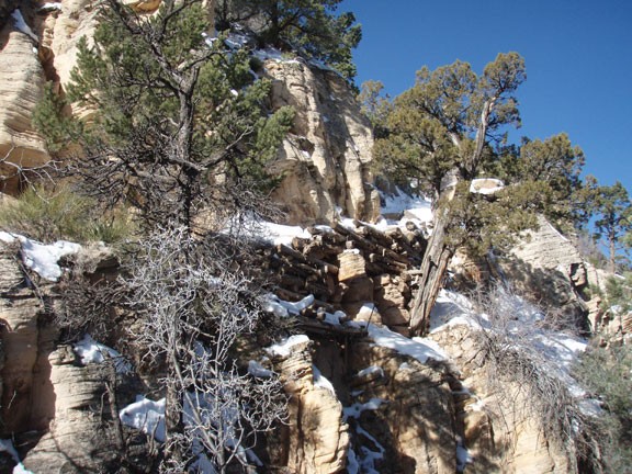
As you walk down the trail, there are a few spots that are a tight squeeze with a full pack. It's also interesting when you realize there are parts of the trail that are held up by juniper logs that have been there for over a hundred years. whew!
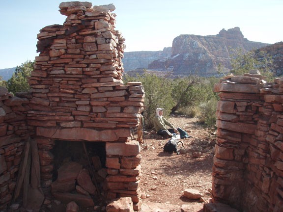
Eventually, you will cross a saddle and close in on Horseshoe Mesa. Before you get to the campsites, you'll see the ruins of Pete Berry's cabin. He's the guy that rebuilt the trail. Be sure to thank Pete and leave his ruins alone for other hikers to enjoy. There's also some mining implements scattered around rusting. Leave these be as well.
There's a toilet but no water at the campsite, but there is water at Miner's Spring. Miner's spring is located 0.8 miles and 450 feet below the campsite on the Tonto trail where it forks right at the campsites. Fill up all your water containers here, because you don't want to make multiple trips down here... it's not a stroll, but a steep hike. Water seems to taste much better when you work for it.
As a special treat, make sure you bring a flashlight. If you walk clockwise around the Mesa from the campsite, you'll find a trail leading to a cave. You can explore quite a way in this cave, with multiple passageways. Don't get lost!
