
- Hikes in Arizona
- Tucson Area and Southern Arizona
- Chiricahua - Heart of Rocks Loop
Chiricahua - Heart of Rocks Loop


Location
To get to the trailhead: from the Phoenix area, take I-10 South to Tucson. Continue on I-10 East through Tucson and continue on through Benson to Wilcox. In Wilcox, take HWY-186 South East 30 miles to HWY-181. Continue another 4 miles to HWY-181 to enter Chiricahua National Monument. Once in the park, take the main road to the Echo Canyon parking lot. Park here to start the loop.
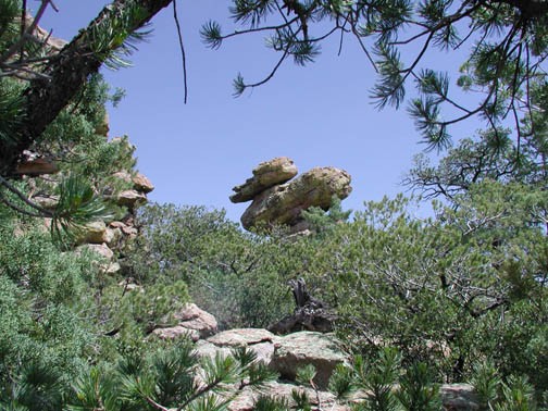
There is an entrance fee to get in the park. During the drive to Echo Canyon point, look around to spot some of the rock formations visible from the road (like Sea Captain and China Boy).
Hike details
Season
- May
- June
- July
- August
- January
- February
- December
Solitude
Difficulty
Permits
Hiking the Heart of Rocks loop in Chiricahua National Park, Arizona.
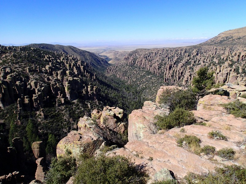
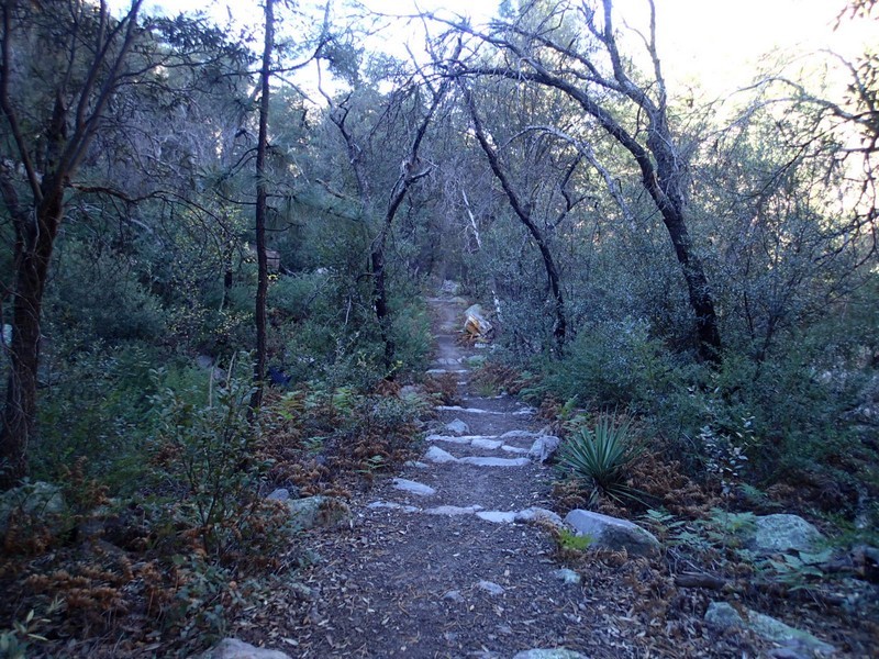
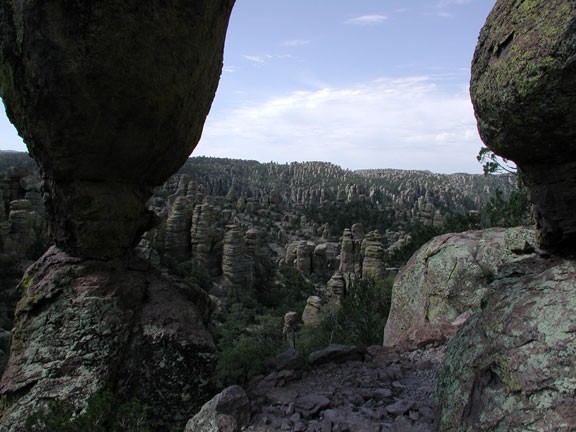
The hike starts at the Echo Canyon Trail parking area (see the Map). You'll take a right at the first trail junction (JCT_1R on the map) to head towards Echo canyon. While descending gradually into Echo Canyon, you are exposed to the myriad of rock formations that make up this area of the park. Take the time to enjoy this area of the trail, it is a good appetizer for the Heart of Rocks. This part of the trail walks through towering spires of rock and is aptly named "Wall Street". Continuing on, you discover a grove of Oak, Pine, Fir, and Cypress trees. The sign here lists this quiet forest area as Echo Park.
One of the nice features of this hike are the well marked trail junctions. After 1.6 miles along Echo Canyon trail, take the Rhyolite Canyon fork here (JCT_2R) and descend 400 ft over 1.1 miles to the Sarah Deming trail (JCT_3L on the map). Take a left here. Walking out of the canyon again, you gain 900 ft while walking 1.6 miles to the highlight of this hike, the Heart of Rocks loop.
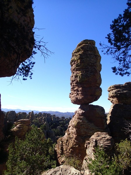
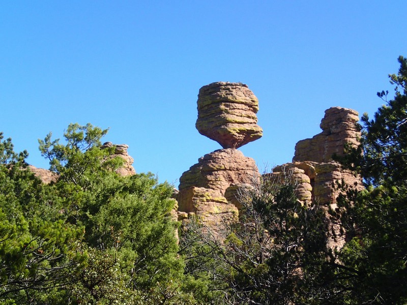
The Heart of Rocks loop is 1.1 miles and exposes you to the most impressive rock formations in the park: Duck on a Rock, Punch and Judy, Pinnacle Balanced Rock, Camel head Rock, and others. The entrance to the loop is well marked (JCT_4 on the map). Take your time in this area to explore all there is to see.
When you're ready, continue along the Balanced Rock trail to the east. After hiking 1 mile along a relatively flat section, the trail descends back down into an canyon just after the Inspiration point trailhead junction (JCT_5 on the map). The half mile one way side trip to Inspiration point is worth it if you have the energy. After 1.2 miles, you reach the last trail junction (JCT_6R). Turn North (right) and hike along the Ed Riggs trail the final 0.7 miles back to your car.
