
- Hikes in Arizona
- Phoenix Area and Central Arizona
- North Loop-McDowell Mountain Park
North Loop-McDowell Mountain Park
Location
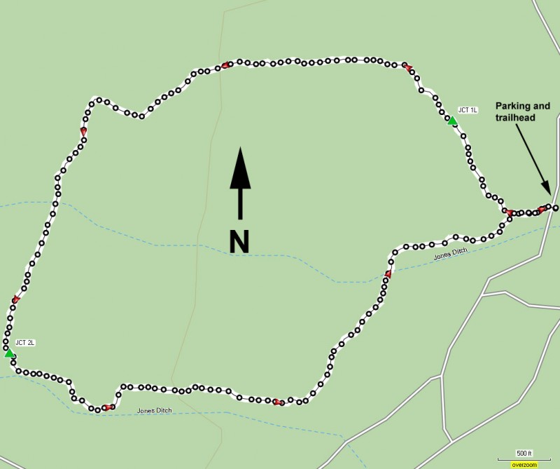
In the Phoenix area, take state HWY-87 towards Payson. Turn left onto Shea Blvd into Fountain Hills. From Shea Blvd turn right onto Fountain Hills Blvd. This will turn into McDowell Mountain Road. Make a left at the signed entrance to McDowell Mountain Park. After paying your $5 (as of Feb-2007) continue on the main park road (McDowell Mountain Park Drive) about 5 miles, following the signs for the North Loop Trailhead. You will turn left at Asher View Drive and park in the Palo Verde Picnic area.
Hike details
Season
- January
- February
- March
- April
- October
- November
- December
- July
- August
Solitude
Difficulty
Permits
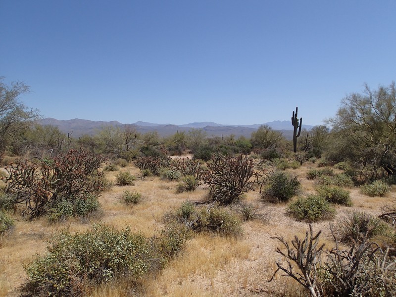
Hike the North Loop in McDowell Mountain Park near Phoenix, Arizona.
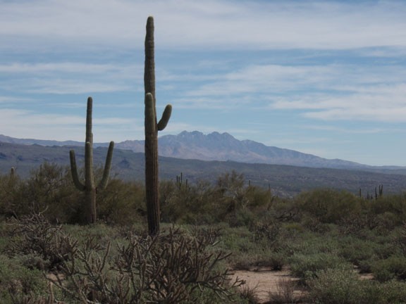
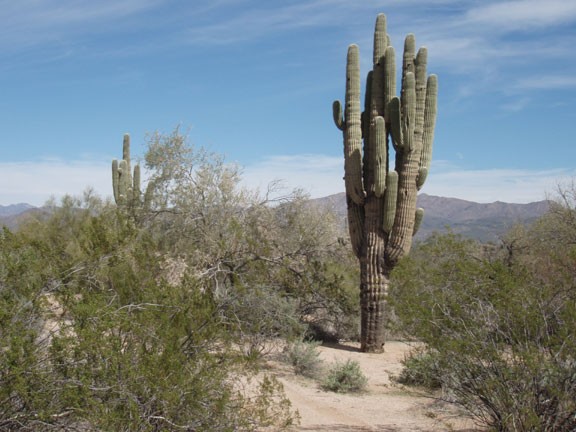
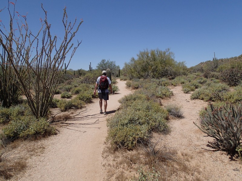
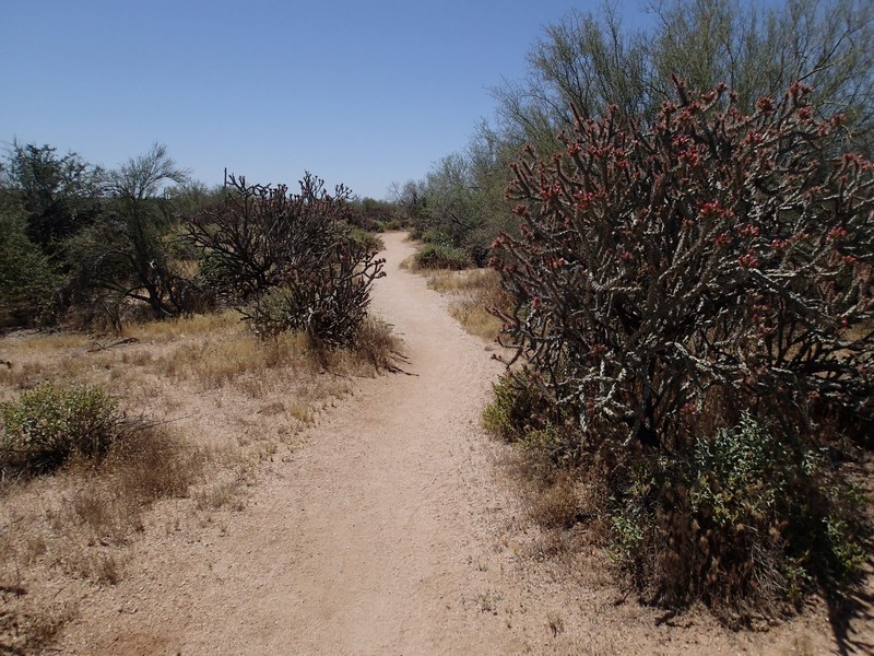
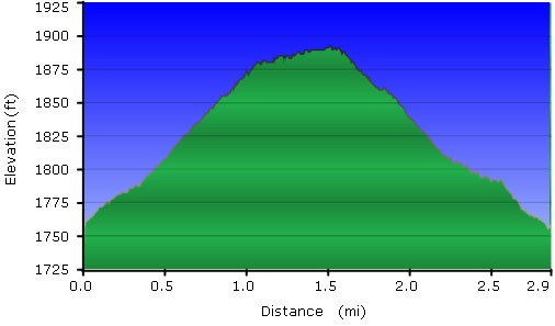
From the well signed trailhead, walk about 200 yards to the intersection that starts the loop. It doesn't matter which way you go, as there is little elevation change on this well defined trail. We went counter-clockwise, so this write up describes that. There are plenty of healthy Saguaros here, along with all your other favorite Sonoran desert cacti.
Stay left at the first signed trail junction (JCT 1L on the map) with the Verde trail. Stay left again at the second signed trail junction (JCT 2L on the map) with the Chuparosa trail.
This is a nice hike for it's proximity to the Phoenix area, as well as it's solitude. On a lovely, Sunday winter day in February I had this hike all to myself. My solitude experience may not be typical. This is a quiet place to enjoy an all too brief stroll in the desert. The North Loop trail would be a good place for beginning hikers and out of town visitors.
