
- Hikes in Arizona
- Phoenix Area and Central Arizona
- Pipeline Canyon Trail
Pipeline Canyon Trail
Updated


Location
How to Get There
This hike is located near Phoenix, AZ.
To get to the South trailhead: From the Phoenix area, take I-17 North to the Carefree highway exit (HWY-74). Turn West (left) and go about 11.5 miles. Turn into the park by Castle Hot springs road and drive 2.2 miles. Turn right here onto the Lake Pleasant Access road. After about 3 miles, this road dead ends at the trailhead. This is a fee area and as of April, 2013, this fee was $6 per car. There is a restroom here.
To get to the North trailhead: Continue driving on Castle Hot Springs road past the Lake Pleasant Access road to Castle Creek Drive. Turn right onto Castle Creek Drive, then drive to Cottonwood lane. Turn right again and drive to the end of the road for the trailhead and parking. There is a restroom here.
city
carefree
state
az
Region
Phoenix Area and Central Arizona
Hike details
Distance
4.00 [Miles] Total
Hike Distance- Details
The hike described is 4.0 miles to the North trailhead and back.
Time
2.00 [Hours]
Time-details
This hike took about two hours with lots of time for pictures.
Elevation Change
0 Total gain/loss [Feet]
Elevation Details
no elevation to speak of
Hike Trail Type
Out and Back
Special Features
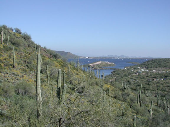
- Water
- Wild Flowers
Season
Best Season
- January
- February
- March
- April
- October
- November
- December
Season Details
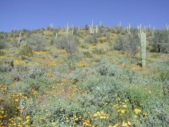
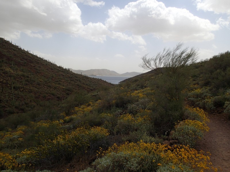
Best hiked during cooler weather after some rain to see the wildflowers.
Date Hike completed
April 08, 2013
Solitude
Solitude
Low
Solitude Details
You won't too much solitude on this hike. Expect to share this trail with 30-50 other hikers.
Difficulty
difficulty detail
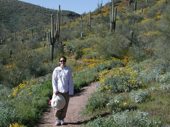
This hike is best done during wildflower season. The desert turns amazingly green and the wildflowers are everywhere. The out and back described here is an Easy hike.
Permits
Be Aware of
crowds, $6 fee to enter the park area
Hike the Pipeline trail near Lake Pleasant, Arizona.
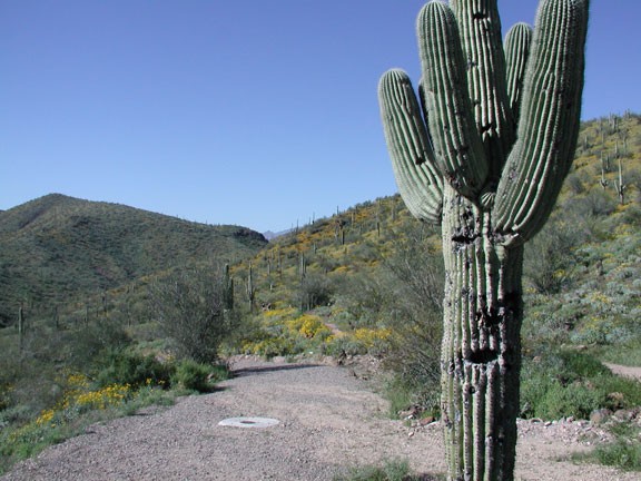
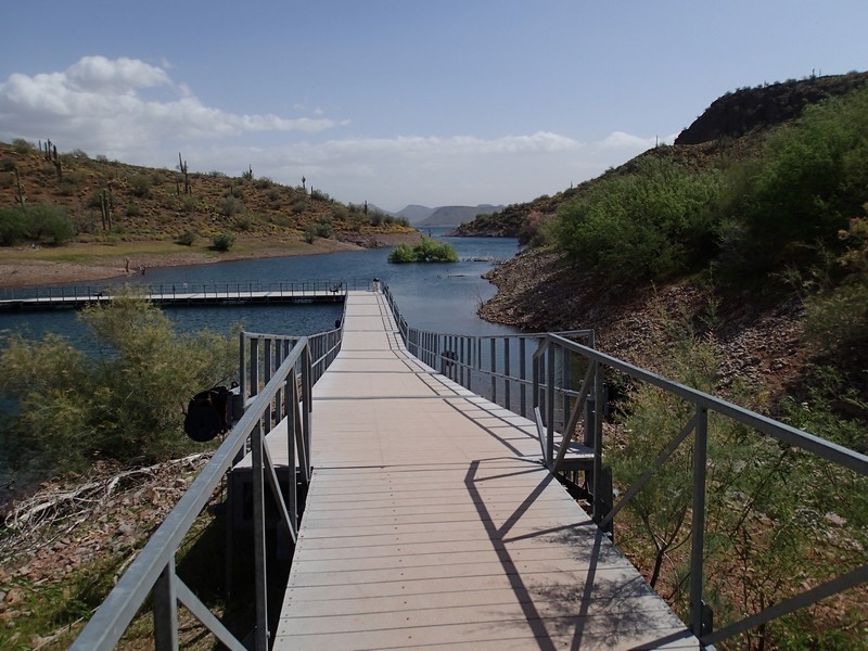
From the South trailhead, take the well marked trail North from the parking area. After a rain, the wildflowers quickly overrun this area and add color rarely seen by the desert. Orange, Red, Purple, Yellow, and gold all find their way into the desert wildflowers in this area. After about 0.5 miles of easy walking through this kaleidoscope of color, you will reach a bridge. If the water is at a high mark, this bridge may be closed. If it is closed, this makes a good turn around point. If it is not closed, you can continue another 1.5 miles to the North trailhead.
