
- Hikes in Arizona
- Phoenix Area and Central Arizona
- Kiwanis-Ranger Loop (South Mountain)
Kiwanis-Ranger Loop (South Mountain)


Location
To get to the trailhead: From the Phoenix area, take Central Avenue south into South Mountain park. Once you enter the park and after passing the stone buildings that mark the visitor center, drive the Summit Road for 0.6 miles. Turn left at the signed intersection (following the signs for the Kiwanis Trailhead). The Kiwanis trailhead parking is another 0.7 miles. Drive slowly on these roads and watch out for bikers, hikers, and runners on the road.
Hike details
Season
- January
- February
- March
- April
- October
- November
- December
Solitude
Difficulty
Permits
Loop hike with the Kiwanis and Ranger trails in South Mountain park in Phoenix, Arizona.
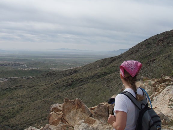
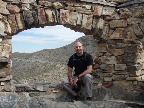
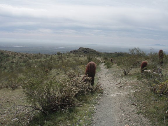
From the parking area, take the Kiwanis trail directly into snake canyon. The trail work done here is quite impressive and snake canyon gives your eyes some entertainment as you climb up. The climb up is mostly mellow, with some switchbacks as you get closer to the road and the National trail. Turn around once in a while to see a nice view of downtown Phoenix framed in the canyon walls. After about a mile, you'll reach Summit Road and the signed trail junction for the National trail (Jct 1 on map). Cross the road and take the National trail as it continues to climb. As you near the top of the ridgeline, there is a neat stone building to rest at and enjoy the views. The National trail heads West along the top of the ridgeline. The views along this section of the trail are great in all directions. After another 1.3 miles of hiking along the National Trail, you'll reach the junction with the Ranger trail (Jct 2 on map). Turn right onto the Ranger trail as it switchbacks down to the floor of the valley. You'll cross Summit road again (Jct 3 on map) and pass the signed junction to the Bajada trail going left (Jct 4 on map) before you turn right onto the Los Lomitas Loop trail (Jct 6 on map). This will lead you directly back to the parking area.
