
- Hikes in Arizona
- Phoenix Area and Central Arizona
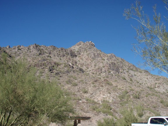
- Piestewa Peak
Piestewa Peak

Location
In the Phoenix area, take state HWY-51 North to the Glendale Avenue exit. Turn right after taking the exit to get on Lincoln Dr. After about 0.5 miles, turn left on Piestewa Peak Drive. Follow this road through the residential area to Piestewa Peak Park.
Hike details
Season
- January
- February
- March
- April
- October
- November
- December
- July
- August
Solitude
Difficulty
Permits
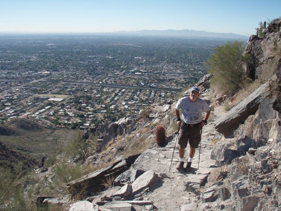
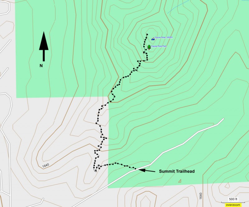
Hike to the top of Piestewa peak in Phoenix, Arizona.
This trail is well marked and right in the middle of the Phoenix area. These two facts make it a very popular trail on weekends. While there are a good number of parking spaces, these spaces have been known to fill up on weekends.
Since there is a large number of people with all different abilities, remember your hiking etiquette. Yield to those people going uphill. Let faster hikers pass you.
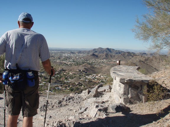
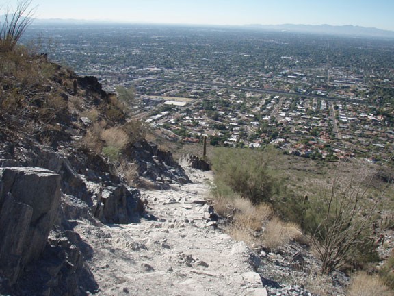
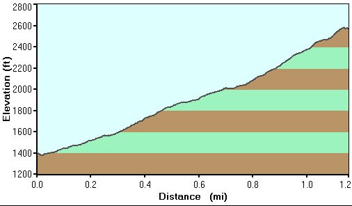
The trail detailed here is called the Summit Trail. It is the most direct route to the top of the peak. Animals are not allowed on this trail. The trail is on rock the entire hike. It starts with a series of switchbacks as you climb out of the parking area. The views of the city get larger and larger as you climb higher.
There are a number of benches and various views on the way up if you want to take a breather. Eventually, you will be unable to climb any higher and you will realize you have reached the peak. Take a look around and enjoy the view.
Return the way you came.
