
- Hikes in Arizona
- Sedona
- Harding Spring and Cookstove
Harding Spring and Cookstove


Location
From the Phoenix area, take I-17 North to exit 298 to HWY 179 West into Sedona. Follow the signs to 89A North and park along side the road near mile marker 387 (Pine flat campground on the west side of HWY-89A) The trailhead is on the East side of the road.
Hike details
Season
- May
- June
- July
- August
- September
- October
Solitude
Difficulty
Permits
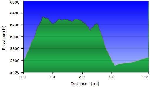
Loop hike consisting of the Harding Spring and Cookstove trails in Oak Creek Canyon, Arizona
Note: Although a number of trailheads in Sedona require a "Red Rock Pass", this is not one of them. There is currently (as of April 2016) no fee to park for this hike.
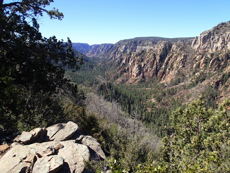
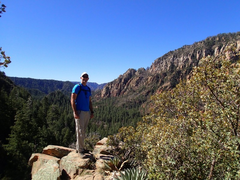
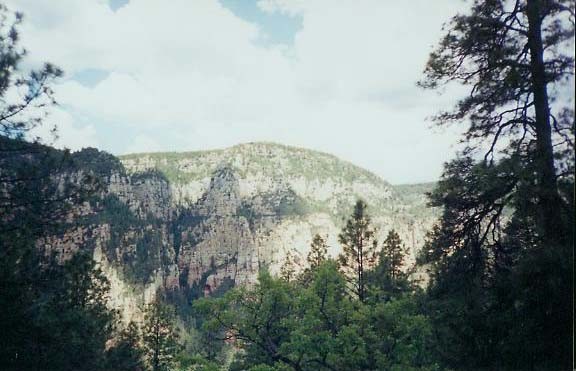
After parking on the west side of the road, cross the road to the east and keep your eyes out for a small brown metal trail sign. It should read "Cookstove". From the Cookstove trailhead, take the steep but well worn trail just under a mile to the top of the East wall of Oak Creek Canyon. Since the trail is steep, the views come around quickly. The top is a nice place to spend lunch, sitting on rocks and looking at the cool rock formations of the West wall of the canyon. Good views abound.
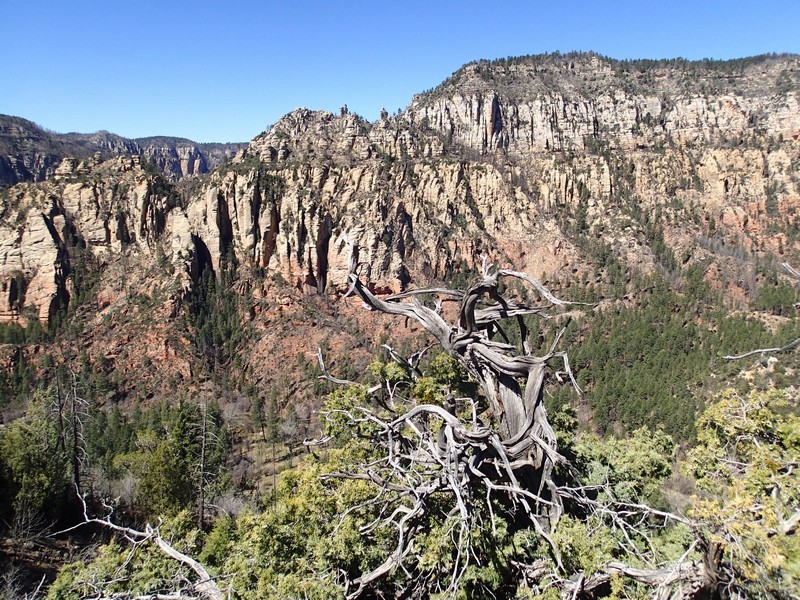
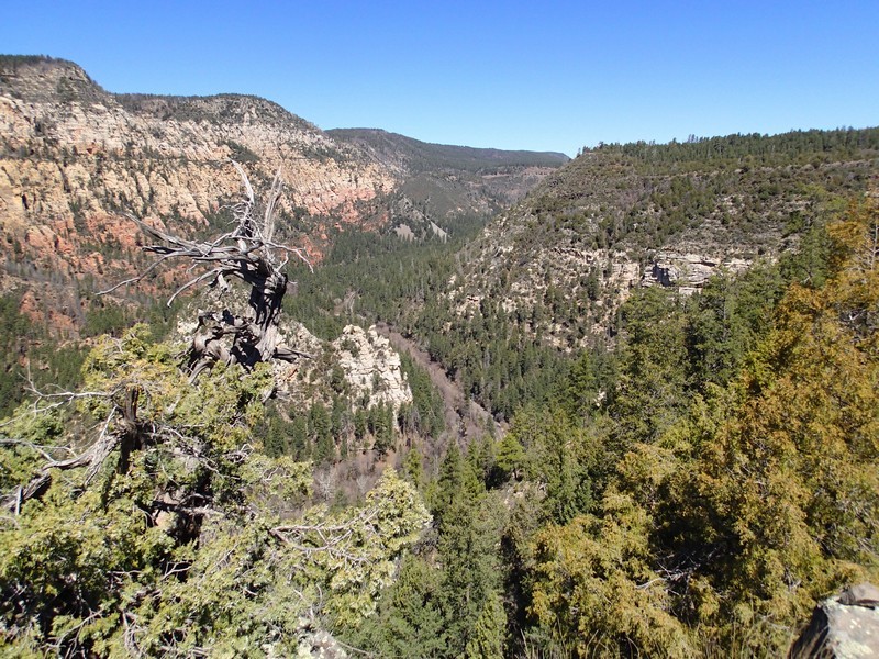
After finishing lunch, turn right (South) and continue along the ridge of the canyon through a sparse forest of pine. The trail here is flat and the canyon views pop out once in a while. After about 1.3 miles of walking along the rim, you reach the junction with the Harding Spring trail (JCT_1 on the map). If you stay left here, you can walk along the rim about a quarter of a mile to a great view of Oak Creek canyon. Turning right will put you on the Harding Spring trail. When we did this hike, the trail marker had been vandalized, so be sure not to miss this trail junction. Follow the Harding Springs trail back down to HWY 89A, turn right, and walk the final 1.1 miles back to your car on the shoulder of the Highway.
